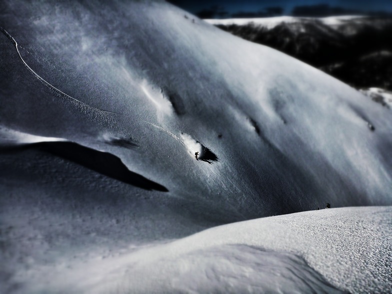
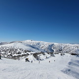
Weather Forecast for Mount Hotham at1454m altitude
Issued: 9 am 25 Jul 2026 (local time)
Forecast update in hr min
Next snow in Mount Hotham: 2.5cm on Tue 28th (after 9 PM local time)
View forecast
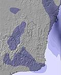
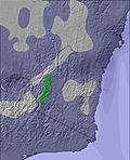
Mount Hothamat 1454 m altitude
Issued by Snow-Forecast.com at:9 am (local time) / 25 Jul 2026
Last 6 daysScroll left for last 6 daysNow
Next 3 days weather summary:
Light rain (total 2.0mm), mostly falling on Sat morning. Freeze-thaw conditions (max 5°C on Sun morning, min -1°C on Sat night). Winds increasing (calm on Sun afternoon, fresh winds from the NNW by Mon night).
Days 4-6 weather summary:
Drizzle on Tue morning turning to light snow on Tue night. Freeze-thaw conditions (max 2°C on Tue morning, min -5°C on Wed night). Winds decreasing (strong winds from the NW on Tue morning, light winds from the SE by Thu night).
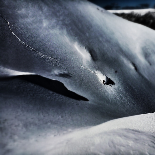
Some clouds at Falls Creek today. Light winds here. Temperatures are around freezing. Only a dusting of new snow. Lifts are mostly open. The pistes are in fair condition Not enough snow off-piste. from Falls Creek
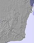
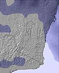
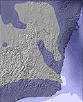
The above table gives the weather forecast for Mount Hotham at the specific elevation of 1454 m. Our sophisticated weather models allow us to provide snow forecasts for the top, middle and bottom ski stations of Mount Hotham. To access the weather forecasts for the other elevations, use the tab navigation above the table. For a wider view of the weather, check out the Weather Map of Australia.
Click here to read further information on freezing levels and how we forecast our temperatures.
It's funny all the negative comments I see here.
Each to their own, however, I think a lot of you have your nose out of joint because you have probably come at a time where there hasn't been particularly great snow fall.
We can't predict the weather, there may be days when the resort is better than others.
As for people saying its too expensive, you'll find all the other decent resorts in Aus are the same price, if not, very close!
As for cost of food etc- of course it's going to be a little more pricey, it's like going to a theme park or the footy, I paid $14 for a pie and a bottle of coke at the footy!
If you are planning a holiday at the snow, you need to be prepared with extra cash, just like any resort!
Free Snow-Forecast.com weather widget for your website
Embed the Mount Hotham weather widget on your site for free. It provides a weekly snapshot of snow and rain conditions across all elevations. Follow the two quick steps to grab your custom code and paste it into your site. Choose between metric or imperial units. Click here to get the code.


 Nearest