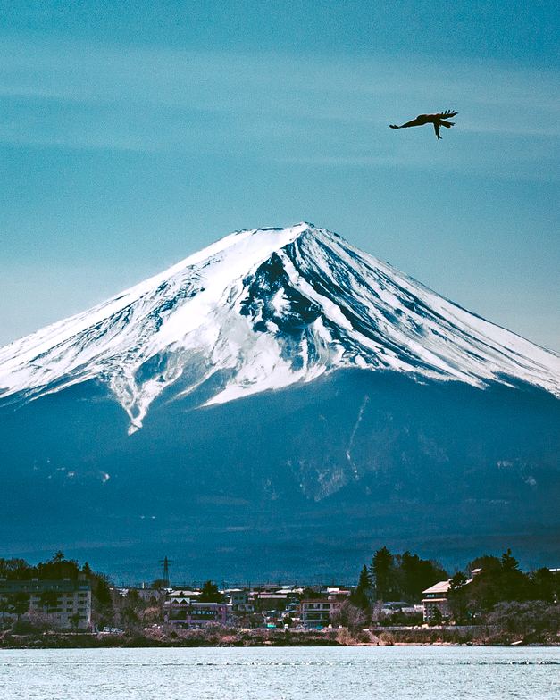
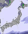
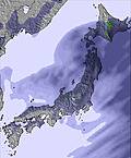
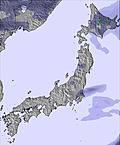
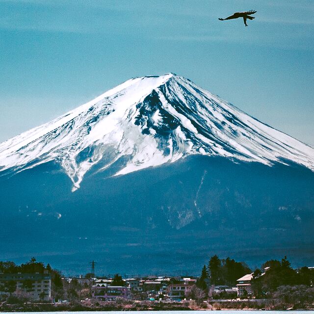
The above table gives the weather forecast for Mount Fuji at the specific elevation of 3776 m. Our sophisticated weather models allow us to provide snow forecasts for the top, middle and bottom ski stations of Mount Fuji. To access the weather forecasts for the other elevations, use the tab navigation above the table. For a wider view of the weather, check out the Weather Map of Japan.
Click here to read further information on freezing levels and how we forecast our temperatures.
I did a solo night hike last weekend. I climbed starting around sunset on October 5th, 2013. The forecast on this site had showed the minimum temperature at the peak to be 7C overnight and clear skies. When I reached the peak about an hour before midnight the fog was so thick that visibility was less than 5 feet. It was difficult just to find the buildings. Then the temperature began to drop and the wind picked up. In the morning when I woke up my water bottles had frozen inside my pack that I was sitting against. It would take temperatures around -5C to do this, much colder than 7C. So please be careful and prepared that the summit of the mountain can be much colder, wetter, and windier than this websites suggests.
But with that said the sunrise was beautiful and well worth the danger and discomfort of spending the night at the top. I would go again in much worse conditions.
Free Snow-Forecast.com weather widget for your website
Embed the Mount Fuji weather widget on your site for free. It provides a weekly snapshot of snow and rain conditions across all elevations. Follow the two quick steps to grab your custom code and paste it into your site. Choose between metric or imperial units. Click here to get the code.


 Nearest