

Global Weekly Snow Roundup #320
Weekly Snow News for the world, updated 25 June 2026: Chile and New Zealand's seasons proper set to begin, Tignes and Sunshine reopen for summer skiing. weekend as Riksgransen ends its 2026 season.

Next 3 days weather summary:Mostly dry. Freeze-thaw conditions (max 1°C on Mon night, min -2°C on Mon morning). Wind will be generally light. | Days 4-6 weather summary:Mostly dry. Freeze-thaw conditions (max 5°C on Thu night, min 0°C on Tue night). Wind will be generally light. | |||||||||||||||||
Saturday 27 | Sunday 28 | Monday 29 | Tuesday 30 | Wednesday 1 | Thursday 2 | |||||||||||||
AM | PM | night | AM | PM | night | AM | PM | night | AM | PM | night | AM | PM | night | AM | PM | night | |
clear | some clouds | clear | clear | clear | some clouds | clear | clear | clear | clear | clear | clear | clear | clear | clear | clear | some clouds | some clouds | |
km/h | ||||||||||||||||||
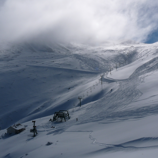
Snow map |  |  |  |  |  |  | ||||||||||||
— | — | — | — | — | — | — | — | — | — | — | — | — | — | — | — | — | — | |
mm | — | — | — | — | — | — | — | — | — | — | — | — | — | — | — | — | — | — |
max °C | -1 | -1 | -1 | -1 | -1 | -1 | -1 | 0 | 1 | 1 | 1 | 1 | 1 | 1 | 2 | 2 | 3 | 5 |
min °C | -1 | -1 | -1 | -1 | -1 | -1 | -2 | -1 | 0 | 1 | 1 | 0 | 0 | 1 | 0 | 2 | 2 | 3 |
chill °C | -3 | -1 | -1 | -4 | -4 | -4 | -4 | -3 | -2 | -2 | -2 | -3 | -2 | -1 | 0 | 1 | -1 | 0 |
Humid % | 64 | 69 | 67 | 66 | 63 | 66 | 80 | 76 | 49 | 61 | 64 | 61 | 51 | 48 | 41 | 38 | 42 | 35 |
Freeze m | 1550 | 1500 | 1600 | 1550 | 1650 | 1700 | 1450 | 1600 | 2050 | 2050 | 2150 | 2100 | 2000 | 2050 | 2100 | 2300 | 2500 | 2950 |
8:11 | — | — | 8:11 | — | — | 8:11 | — | — | 8:11 | — | — | 8:11 | — | — | 8:11 | — | — | |
— | 5:07 | — | — | 5:07 | — | — | 5:07 | — | — | 5:07 | — | — | 5:08 | — | — | 5:08 | — | |
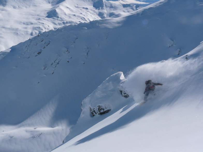
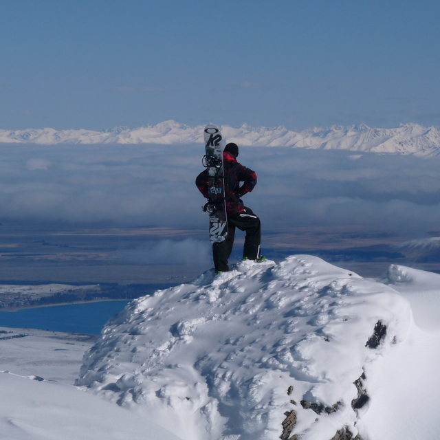
Go pro and carve into:
Avalanche information: New Zealand Avalanche Advisory
Latest snow reports near Mount Dobson:
| Top snow depth: | 0 cm |
|---|---|
| Bottom snow depth: | 0 cm |
| Fresh snowfall depth: | — |
| Last snowfall: | 25 Jun 2026 |
| Snow Alerts | Create Alert |
0.5 | Bluebird Powder days Fresh snow, mostly sunny, light wind. |
|---|---|
0.9 | Powder days Fresh snow, limited sun, any wind. |
1.3 | Bluebird days Average snow, mostly sunny, light wind. |
The above table gives the weather forecast for Mount Dobson at the specific elevation of 1902 m. Our sophisticated weather models allow us to provide snow forecasts for the top, middle and bottom ski stations of Mount Dobson. To access the weather forecasts for the other elevations, use the tab navigation above the table. For a wider view of the weather, check out the Weather Map of New Zealand.
Click here to read further information on freezing levels and how we forecast our temperatures.
Overall 2.7 Based on 19 votes and 3 reviews
Spent two days here in 2010. Absolutely amazing, first day was clear, no wind and 40cm of fresh snow. There were no lift lines, few people and fresh tracks to be had all over the mountain. Second day was the same story, bad weather had dumped rain on the other Canterbury fields while Dobson, being a bit higher, again had fresh snow. Lifts are slow and base area is very basic, but personally I would rather have fresh tracks, few people on the field and no lift lines over a pretty cafe, crowds and fast lifts.
Kirk from New Zealand writes:
Spent two days here in 2010. Absolutely amazing, first day was clear, no wind and 40cm of fresh snow. There were no lift lines, few people and fresh tracks to be had all over the mountain. Second day was the same story, bad weather had dumped rain on the other Canterbury fields while Dobson, being a bit higher, again had fresh snow. Lifts are slow and base area is very basic, but personally I would rather have fresh tracks, few people on the field and no lift lines over a pretty cafe, crowds and fast lifts.


 Nearest