

Global Weekly Snow Roundup #320
Weekly Snow News for the world, updated 25 June 2026: Chile and New Zealand's seasons proper set to begin, Tignes and Sunshine reopen for summer skiing. weekend as Riksgransen ends its 2026 season.

Next 3 days weather summary:Heavy rain (total 47.0mm), heaviest during Mon afternoon. Warm (max 26°C on Sun afternoon, min 13°C on Tue night). Wind will be generally light. | Days 4-6 weather summary:Light rain (total 3.0mm), mostly falling on Wed morning. Warm (max 22°C on Thu afternoon, min 11°C on Fri night). Wind will be generally light. | |||||||||||||||||
Sunday 28 | Monday 29 | Tuesday 30 | Wednesday 1 | Thursday 2 | Friday 3 | |||||||||||||
AM | PM | night | AM | PM | night | AM | PM | night | AM | PM | night | AM | PM | night | AM | PM | night | |
t-storm risk | t-storm risk | rain shwrs | t-storm risk | t-storm risk | rain shwrs | rain shwrs | t-storm risk | rain shwrs | rain shwrs | rain shwrs | clear | clear | clear | clear | clear | clear | clear | |
km/h | ||||||||||||||||||
Snow map |  |  |  |  |  |  | ||||||||||||
— | — | — | — | — | — | — | — | — | — | — | — | — | — | — | — | — | — | |
mm | 2 | 2 | 4 | 1 | 10 | 5 | 1 | 11 | 11 | 1 | 2 | — | — | — | — | — | — | — |
max °C | 24 | 26 | 22 | 23 | 24 | 17 | 20 | 21 | 17 | 19 | 21 | 19 | 19 | 22 | 19 | 18 | 21 | 18 |
min °C | 20 | 25 | 15 | 17 | 18 | 14 | 17 | 19 | 13 | 16 | 19 | 12 | 15 | 22 | 12 | 15 | 21 | 11 |
chill °C | 20 | 25 | 15 | 17 | 18 | 14 | 17 | 19 | 13 | 16 | 19 | 12 | 15 | 22 | 12 | 15 | 21 | 11 |
Humid % | 48 | 42 | 59 | 52 | 80 | 66 | 60 | 79 | 84 | 72 | 68 | 77 | 54 | 45 | 68 | 51 | 44 | 60 |
Freeze m | 4500 | 4600 | 4500 | 4450 | 4300 | 4450 | 4350 | 4350 | 4350 | 4150 | 4300 | 4650 | 4550 | 4500 | 4450 | 4200 | 4050 | 4350 |
5:47 | — | — | 5:47 | — | — | 5:48 | — | — | 5:48 | — | — | 5:48 | — | — | 5:50 | — | — | |
— | — | 9:24 | — | — | 9:24 | — | — | 9:24 | — | — | 9:24 | — | — | 9:24 | — | — | 9:24 | |
Go pro and carve into:
Avalanche information: European Avalanche Warning Services (EAWS)
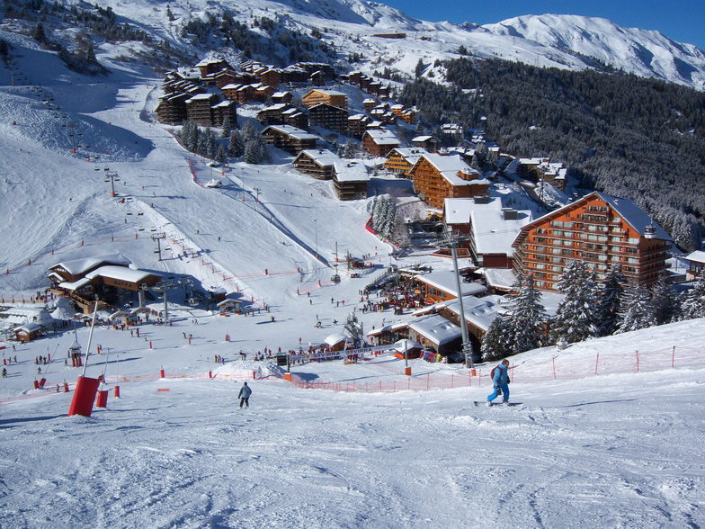
Latest snow reports near Mottaret:
| Top snow depth: | — |
|---|---|
| Bottom snow depth: | — |
| Fresh snowfall depth: | — |
| Last snowfall: | 4 Jun 2026 |
| Snow Alerts | Create Alert |
0.0 | Bluebird Powder days Fresh snow, mostly sunny, light wind. |
|---|---|
0.0 | Powder days Fresh snow, limited sun, any wind. |
0.0 | Bluebird days Average snow, mostly sunny, light wind. |
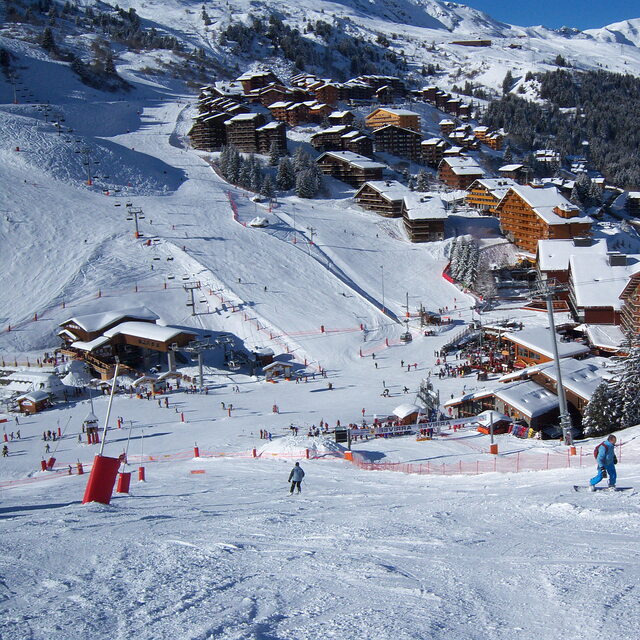
The above table gives the weather forecast for Mottaret at the specific elevation of 1450 m. Our sophisticated weather models allow us to provide snow forecasts for the top, middle and bottom ski stations of Mottaret. To access the weather forecasts for the other elevations, use the tab navigation above the table. For a wider view of the weather, check out the Weather Map of France.
Click here to read further information on freezing levels and how we forecast our temperatures.
Overall 4.3 Based on 6 votes and 10 reviews
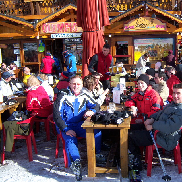
If you want to go to the most expensive ski area in France (Mottaret) during the peak season as we have to, but are not lucky enough to have the cash to pay for expensive accommodation, then the Le Hameu ticks all the right boxes for ski in - ski out, locality of slopes, shops, ski hire, free transport to Meribel and a bar which has a happy hour with a roaring fire. We have stayed there 3 times so far and we have booked for Feb half term this year. The apartments have always been clean and warm, with lots of hot water and very quiet. Last year we stayed in the Pierre Vacances by the ski meeting area in Mottaret and to be honest with you the accommodation was smaller and we had a long trek up lifts along balconies and then up more stairs to get back to our apartments, and of course, we had to do all this with our luggage on arrival and departure also. Admittedly the Hameau does need serious refurbishment and if we booked with a tour operator and paid masses for it, we would be annoyed, but we book independently and pay about half of what the tour operators charge.
Laura and Paul from United Kingdom writes:
If you want to go to the most expensive ski area in France (Mottaret) during the peak season as we have to, but are not lucky enough to have the cash to pay for expensive accommodation, then the Le Hameu ticks all the right boxes for ski in - ski out, locality of slopes, shops, ski hire, free transport to Meribel and a bar which has a happy hour with a roaring fire. We have stayed there 3 times so far and we have booked for Feb half term this year. The apartments have always been clean and warm, with lots of hot water and very quiet.
Last year we stayed in the Pierre Vacances by the ski meeting area in Mottaret and to be honest with you the accommodation was smaller and we had a long trek up lifts along balconies and then up more stairs to get back to our apartments, and of course, we had to do all this with our luggage on arrival and departure also.
Admittedly the Hameau does need serious refurbishment and if we booked with a tour operator and paid masses for it, we would be annoyed, but we book independently and pay about half of what the tour operators charge.


 Nearest