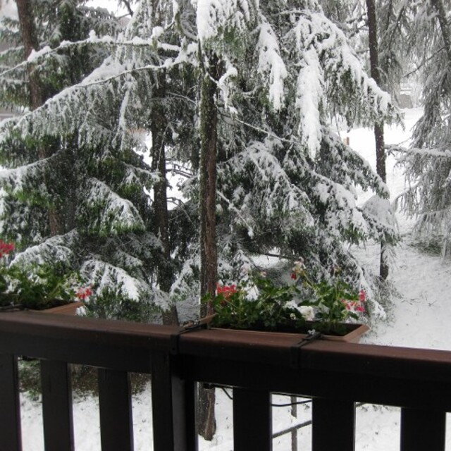
The above table gives the weather forecast for Montchavin at the specific elevation of 3250 m. Our sophisticated weather models allow us to provide snow forecasts for the top, middle and bottom ski stations of Montchavin. To access the weather forecasts for the other elevations, use the tab navigation above the table. For a wider view of the weather, check out the Weather Map of France.
Click here to read further information on freezing levels and how we forecast our temperatures.
We have been to Les Coches on regular ski holidays and found the whole experience fantastic. Skiaffinity offer a great solution to missing the usual gridlock on "transfer Saturday", they offer a Sunday to Sunday package so not only the roads are quieter on a Sunday, we also get to ski on Saturday with only the locals on the slopes. Skiaffinity offer a luxury fully catered chalet within metres of the ski lift and with Laurie and Jess as chalet hosts delivering exceptional fully catered 5 star service. Great village atmosphere, check out "White Lines" après bar also. It was so good at new year we are all heading back next month.
We have been to Les Coches on regular ski holidays and found the whole experience fantastic. Skiaffinity offer a great solution to missing the usual gridlock on "transfer Saturday", they offer a Sunday to Sunday package so not only the roads are quieter on a Sunday, we also get to ski on Saturday with only the locals on the slopes. Skiaffinity offer a luxury fully catered chalet within metres of the ski lift and with Laurie and Jess as chalet hosts delivering exceptional fully catered 5 star service. Great village atmosphere, check out "White Lines" après bar also. It was so good at new year we are all heading back next month.
Free Snow-Forecast.com weather widget for your website
Embed the Montchavin weather widget on your site for free. It provides a weekly snapshot of snow and rain conditions across all elevations. Follow the two quick steps to grab your custom code and paste it into your site. Choose between metric or imperial units. Click here to get the code.


 Nearest