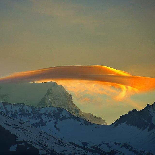
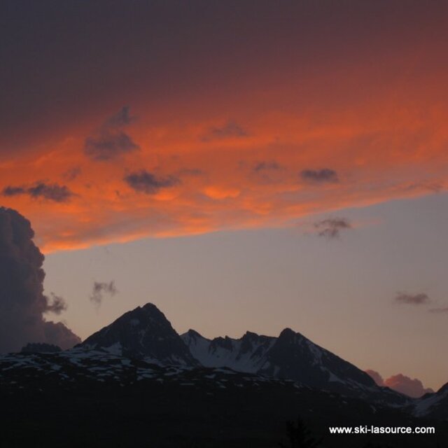
The above table gives the weather forecast for Montchavin at the specific elevation of 1250 m. Our sophisticated weather models allow us to provide snow forecasts for the top, middle and bottom ski stations of Montchavin. To access the weather forecasts for the other elevations, use the tab navigation above the table. For a wider view of the weather, check out the Weather Map of France.
Click here to read further information on freezing levels and how we forecast our temperatures.
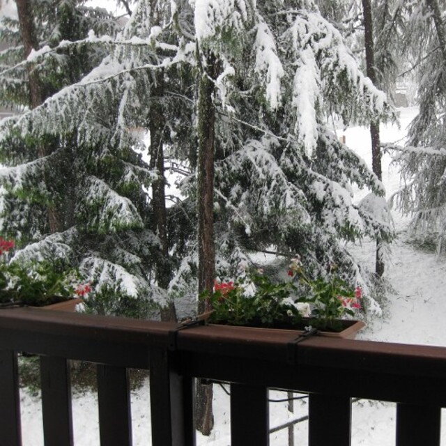
We have been going to Les Coches (Montchavin/Les Coches) for years and bought a place out there 5 years ago. It's a great family resort: just 2 real bars for apres-ski and all shops, bars and restaurants are situated around the main square. Little ones can run around out there whilst mum and dad relax with a beer. On the down side my son is currently out there and reports hard packed snow with rocks beginning to show through. It's in desperate need of a huge dump of the white fluffy stuff. I have to say this is the first time in 10 years that it's been like this, so keep watching the forecast and if it snows get out there. If you have little ones this is the place for you. That's not to say it's dead; my teenage sons still manage to get into trouble.
We have been going to Les Coches (Montchavin/Les Coches) for years and bought a place out there 5 years ago. It's a great family resort: just 2 real bars for apres-ski and all shops, bars and restaurants are situated around the main square. Little ones can run around out there whilst mum and dad relax with a beer. On the down side my son is currently out there and reports hard packed snow with rocks beginning to show through. It's in desperate need of a huge dump of the white fluffy stuff. I have to say this is the first time in 10 years that it's been like this, so keep watching the forecast and if it snows get out there. If you have little ones this is the place for you. That's not to say it's dead; my teenage sons still manage to get into trouble.
Free Snow-Forecast.com weather widget for your website
Embed the Montchavin weather widget on your site for free. It provides a weekly snapshot of snow and rain conditions across all elevations. Follow the two quick steps to grab your custom code and paste it into your site. Choose between metric or imperial units. Click here to get the code.


 Nearest