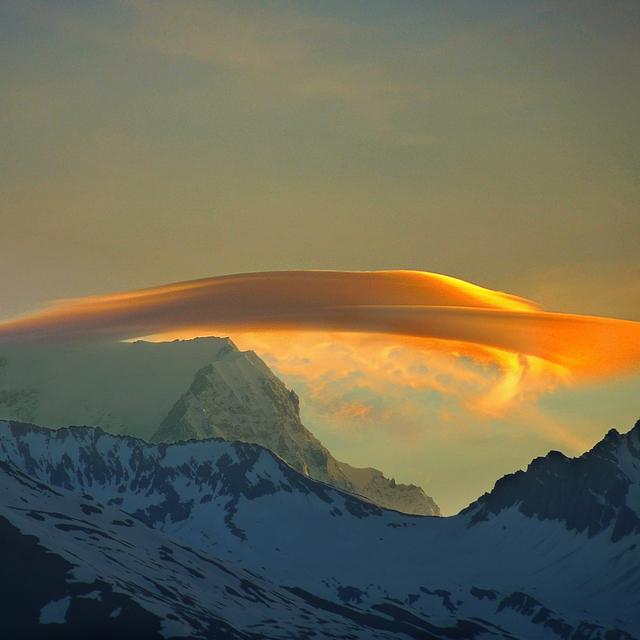
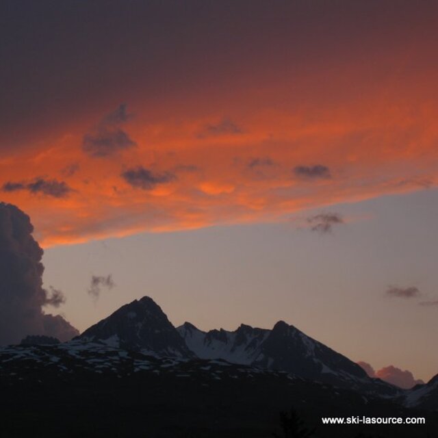
The above table gives the weather forecast for Montchavin at the specific elevation of 2250 m. Our sophisticated weather models allow us to provide snow forecasts for the top, middle and bottom ski stations of Montchavin. To access the weather forecasts for the other elevations, use the tab navigation above the table. For a wider view of the weather, check out the Weather Map of France.
Click here to read further information on freezing levels and how we forecast our temperatures.
Montchavin is an old mountain village where you can smell
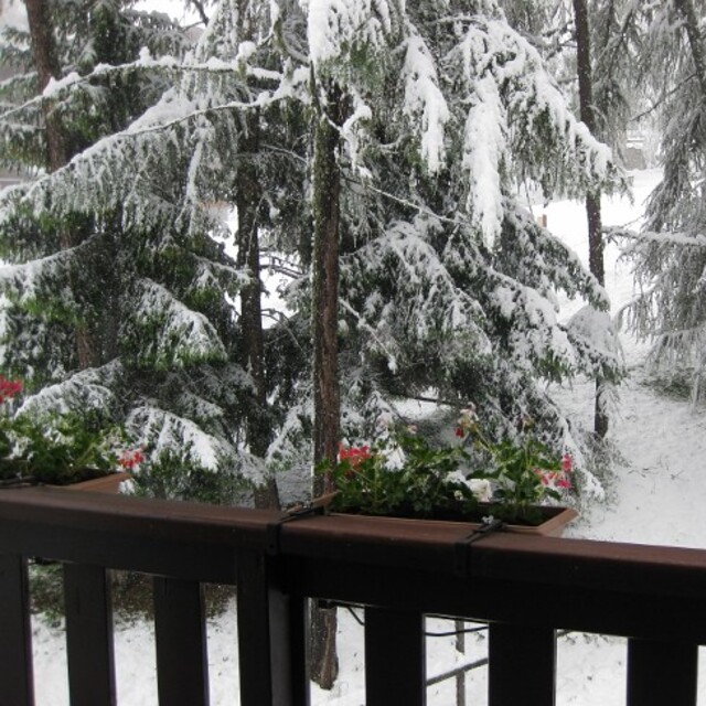
the animals tucked away safely for the winter as you wander through the beautiful traditional village centre. It is essentially a family resort and the ski schools are excellent. There is a beginners area for children at the bottom of the slope by the first lift up and a newly developed larger area for adult beginners just up 2 lifts. There are limited bars and restaurants in the village, so they do get busy, but most people self cater out here. There is a free bus service between Montchavin and Les Coches, which allows visitors to benefit from the facilities in both villages - e.g the cinema and pool in Montchavin, and the ice rink in Les Coches. The locals are very friendly, there is a tourist information office in both Montchavin and Les Coches with loads of events each week, so non-skiers will be able to find something of interest to do. Although the village is low down, the pisteurs do a fantastic job each year keeping routes open. Snow cannons are in use if snow conditions are low and temperature allows. In recent years with climate change, we have always managed to ski back to the village and if you don't fancy it, you can download on two bubbles. The fantastic thing about Montchavin/Les Coches is its location slap bang in the middle of Paradiski. We leave our apartment, ski down to the first lift and at the top decide whether to head left or right for Les Arcs or La Plagne. So easy to access the whole Paradiski area with such a lot of varied terrain and runs and some excellent off-piste to be found if you know where to go. Get a guide - they'll be able to show you some great routes. When it's white-out conditions and blowing a gale higher up, you can ski some lovely tree lined runs just in and above Montchavin/Les Coches. I really can't recommend it enough.
Montchavin is an old mountain village where you can smell
the animals tucked away safely for the winter as you wander through the beautiful traditional village centre. It is essentially a family resort and the ski schools are excellent. There is a beginners area for children at the bottom of the slope by the first lift up and a newly developed larger area for adult beginners just up 2 lifts. There are limited bars and restaurants in the village, so they do get busy, but most people self cater out here. There is a free bus service between Montchavin and Les Coches, which allows visitors to benefit from the facilities in both villages - e.g the cinema and pool in Montchavin, and the ice rink in Les Coches. The locals are very friendly, there is a tourist information office in both Montchavin and Les Coches with loads of events each week, so non-skiers will be able to find something of interest to do. Although the village is low down, the pisteurs do a fantastic job each year keeping routes open. Snow cannons are in use if snow conditions are low and temperature allows. In recent years with climate change, we have always managed to ski back to the village and if you don't fancy it, you can download on two bubbles. The fantastic thing about Montchavin/Les Coches is its location slap bang in the middle of Paradiski. We leave our apartment, ski down to the first lift and at the top decide whether to head left or right for Les Arcs or La Plagne. So easy to access the whole Paradiski area with such a lot of varied terrain and runs and some excellent off-piste to be found if you know where to go. Get a guide - they'll be able to show you some great routes. When it's white-out conditions and blowing a gale higher up, you can ski some lovely tree lined runs just in and above Montchavin/Les Coches. I really can't recommend it enough.
Free Snow-Forecast.com weather widget for your website
Embed the Montchavin weather widget on your site for free. It provides a weekly snapshot of snow and rain conditions across all elevations. Follow the two quick steps to grab your custom code and paste it into your site. Choose between metric or imperial units. Click here to get the code.


 Nearest