

Global Weekly Snow Roundup #320
Weekly Snow News for the world, updated 25 June 2026: Chile and New Zealand's seasons proper set to begin, Tignes and Sunshine reopen for summer skiing. weekend as Riksgransen ends its 2026 season.

Next 4 days weather summary:Mostly dry. Freeze-thaw conditions (max 4°C on Fri night, min -1°C on Sat night). Mainly fresh winds. | Days 5-7 weather summary:Mostly dry. Freeze-thaw conditions (max 4°C on Tue afternoon, min -1°C on Thu morning). Mainly gales. | |||||||||||||||
Saturday 27 | Sunday 28 | Monday 29 | Tuesday 30 | Wednesday 1 | ||||||||||||
night | AM | PM | night | AM | PM | night | AM | PM | night | AM | PM | night | AM | PM | night | |
clear | clear | clear | some clouds | clear | clear | clear | clear | some clouds | clear | clear | clear | clear | clear | clear | snow shwrs | |
km/h | ||||||||||||||||
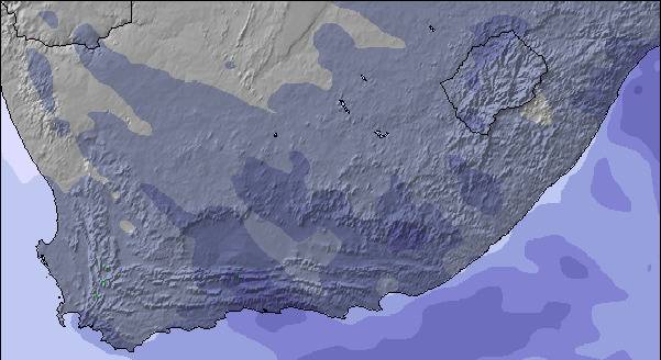
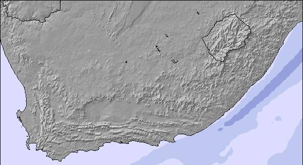
Snow map |  |  |  | 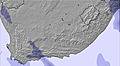 | 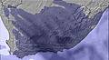 | 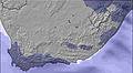 | ||||||||||
— | — | — | — | — | — | — | — | — | — | — | — | — | — | — | — | |
mm | — | — | — | — | — | — | — | — | — | — | — | — | — | — | — | — |
max °C | 4 | 4 | 3 | 4 | 1 | 3 | 3 | 3 | 4 | 3 | 3 | 4 | 3 | 4 | 4 | 3 |
min °C | 4 | 4 | 3 | -1 | -1 | 2 | 2 | 3 | 4 | 2 | 3 | 3 | 2 | 3 | 4 | 1 |
chill °C | 1 | 2 | 0 | -7 | -7 | -2 | -2 | -3 | 1 | 2 | -2 | -1 | -4 | -2 | 0 | -8 |
Humid % | 10 | 13 | 28 | 51 | 62 | 58 | 56 | 56 | 56 | 62 | 53 | 58 | 56 | 44 | 52 | 76 |
Freeze m | 4000 | 4000 | 3950 | 3450 | 3400 | 3750 | 3800 | 3800 | 3850 | 3650 | 3750 | 3800 | 3800 | 3900 | 3900 | 3550 |
— | 6:56 | — | — | 6:56 | — | — | 6:58 | — | — | 6:58 | — | — | 6:58 | — | — | |
— | — | 5:16 | — | — | 5:16 | — | — | 5:16 | — | — | 5:17 | — | — | 5:17 | — | |
Go pro and carve into:
Latest snow reports near Mont-aux-Sources:
| Top snow depth: | — |
|---|---|
| Bottom snow depth: | — |
| Fresh snowfall depth: | — |
| Last snowfall: | 21 Jun 2026 |
| Snow Alerts | Create Alert |
0.0 | Bluebird Powder days Fresh snow, mostly sunny, light wind. |
|---|---|
0.1 | Powder days Fresh snow, limited sun, any wind. |
1.1 | Bluebird days Average snow, mostly sunny, light wind. |
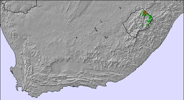
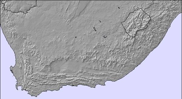
The above table gives the weather forecast for Mont-aux-Sources at the specific elevation of 3282 m. Our sophisticated weather models allow us to provide snow forecasts for the top, middle and bottom ski stations of Mont-aux-Sources. To access the weather forecasts for the other elevations, use the tab navigation above the table. For a wider view of the weather, check out the Weather Map of South Africa.
Click here to read further information on freezing levels and how we forecast our temperatures.
I LOVED climbing this mountain. Of all my activities in 14 years of living in southern Africa as a child, this was my favorite .. the view, the process of the climb .. love the freedom & the challenge
Debbie Miller from United States writes:
I LOVED climbing this mountain. Of all my activities in 14 years of living in southern Africa as a child, this was my favorite .. the view, the process of the climb .. love the freedom & the challenge

 Nearest