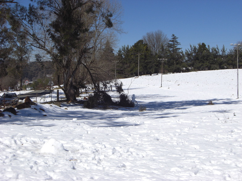


America’s Next Indoor Snow Centre Takes Shape
Construction of a new indoor snow centre for skiers, boarders and tubers appears to be making good progress at Heritage Farm in Wayne County, West Virginia.

Next 3 days weather summary:Mostly dry. Very mild (max 12°C on Wed afternoon, min 3°C on Thu night). Winds decreasing (fresh winds from the WNW on Thu afternoon, calm by Fri afternoon). | Days 4-6 weather summary:Mostly dry. Very mild (max 14°C on Sun afternoon, min 5°C on Sat night). Wind will be generally light. | |||||||||||||||||
Wednesday 22 | Thursday 23 | Friday 24 | Saturday 25 | Sunday 26 | Monday 27 | |||||||||||||
AM | PM | night | AM | PM | night | AM | PM | night | AM | PM | night | AM | PM | night | AM | PM | night | |
some clouds | some clouds | clear | clear | clear | clear | clear | clear | clear | clear | clear | clear | clear | clear | clear | clear | clear | clear | |
km/h | ||||||||||||||||||
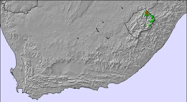
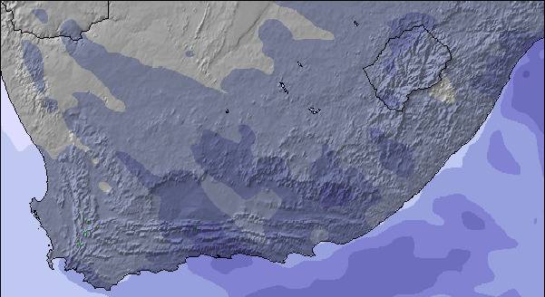
Snow map | 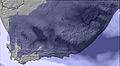 | 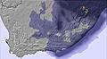 | 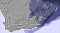 |  |  |  | ||||||||||||
— | — | — | — | — | — | — | — | — | — | — | — | — | — | — | — | — | — | |
mm | — | — | — | — | — | — | — | — | — | — | — | — | — | — | — | — | — | — |
max °C | 11 | 12 | 7 | 10 | 11 | 6 | 9 | 10 | 5 | 11 | 12 | 6 | 12 | 14 | 7 | 12 | 12 | 7 |
min °C | 7 | 10 | 5 | 7 | 8 | 3 | 5 | 7 | 3 | 7 | 8 | 5 | 7 | 10 | 5 | 7 | 10 | 5 |
chill °C | 5 | 9 | 2 | 4 | 4 | -1 | 3 | 7 | 1 | 5 | 8 | 4 | 6 | 10 | 4 | 6 | 10 | 5 |
Humid % | 23 | 26 | 30 | 44 | 50 | 26 | 24 | 55 | 37 | 18 | 35 | 32 | 20 | 29 | 26 | 22 | 26 | 33 |
Freeze m | 3850 | 3900 | 3700 | 3450 | 3500 | 3550 | 3700 | 3500 | 3950 | 4100 | 3850 | 3900 | 4050 | 4000 | 3950 | 3800 | 3800 | 3550 |
6:52 | — | — | 6:52 | — | — | 6:52 | — | — | 6:52 | — | — | 6:50 | — | — | 6:50 | — | — | |
— | 5:28 | — | — | 5:29 | — | — | 5:29 | — | — | 5:30 | — | — | 5:30 | — | — | 5:30 | — | |
Go pro and carve into:
Latest snow reports near Mont-aux-Sources:
| Top snow depth: | — |
|---|---|
| Bottom snow depth: | — |
| Fresh snowfall depth: | — |
| Last snowfall: | 2 Jul 2026 |
| Snow Alerts | Create Alert |
0.0 | Bluebird Powder days Fresh snow, mostly sunny, light wind. |
|---|---|
0.1 | Powder days Fresh snow, limited sun, any wind. |
0.0 | Bluebird days Average snow, mostly sunny, light wind. |
The above table gives the weather forecast for Mont-aux-Sources at the specific elevation of 2368 m. Our sophisticated weather models allow us to provide snow forecasts for the top, middle and bottom ski stations of Mont-aux-Sources. To access the weather forecasts for the other elevations, use the tab navigation above the table. For a wider view of the weather, check out the Weather Map of South Africa.
Click here to read further information on freezing levels and how we forecast our temperatures.
I LOVED climbing this mountain. Of all my activities in 14 years of living in southern Africa as a child, this was my favorite .. the view, the process of the climb .. love the freedom & the challenge
Debbie Miller from United States writes:
I LOVED climbing this mountain. Of all my activities in 14 years of living in southern Africa as a child, this was my favorite .. the view, the process of the climb .. love the freedom & the challenge

 Nearest