

America’s Next Indoor Snow Centre Takes Shape
Construction of a new indoor snow centre for skiers, boarders and tubers appears to be making good progress at Heritage Farm in Wayne County, West Virginia.

Next 4 days weather summary:Light rain (total 5.0mm), mostly falling on Wed night. Freeze-thaw conditions (max 11°C on Sat afternoon, min 0°C on Thu night). Wind will be generally light. | Days 5-7 weather summary:Moderate rain (total 19.0mm), heaviest on Sun afternoon. Very mild (max 14°C on Tue afternoon, min 7°C on Sun night). Wind will be generally light. | |||||||||||||||
Thursday 23 | Friday 24 | Saturday 25 | Sunday 26 | Monday 27 | ||||||||||||
night | AM | PM | night | AM | PM | night | AM | PM | night | AM | PM | night | AM | PM | night | |
rain shwrs | rain shwrs | t-storm risk | snow shwrs | clear | clear | clear | some clouds | clear | rain shwrs | t-storm risk | t-storm risk | rain shwrs | rain shwrs | light rain | rain shwrs | |
km/h | ||||||||||||||||
Snow map |  |  |  |  |  |  | ||||||||||
— | — | — | — | — | — | — | — | — | — | — | — | — | — | — | — | |
mm | 1 | 1 | 2 | 1 | — | — | — | — | — | 2 | 1 | 7 | 5 | 1 | 2 | 1 |
max °C | 5 | 4 | 6 | 4 | 3 | 7 | 6 | 9 | 11 | 10 | 10 | 9 | 7 | 8 | 10 | 9 |
min °C | 3 | 4 | 5 | 0 | 2 | 6 | 5 | 7 | 10 | 9 | 9 | 8 | 7 | 7 | 9 | 8 |
chill °C | 1 | 2 | 3 | -5 | -2 | 4 | 4 | 6 | 9 | 8 | 9 | 7 | 6 | 6 | 9 | 8 |
Humid % | 76 | 72 | 62 | 74 | 47 | 38 | 46 | 38 | 58 | 60 | 65 | 87 | 73 | 71 | 81 | 84 |
Freeze m | 3250 | 3100 | 3300 | 2800 | 3000 | 3600 | 3700 | 3950 | 4200 | 4200 | 3950 | 3850 | 3800 | 3850 | 4100 | 4200 |
— | 5:35 | — | — | 5:35 | — | — | 5:37 | — | — | 5:39 | — | — | 5:39 | — | — | |
— | — | — | 8:51 | — | — | 8:50 | — | — | 8:49 | — | — | 8:47 | — | — | 8:46 | |
Go pro and carve into:
Avalanche information: European Avalanche Warning Services (EAWS)
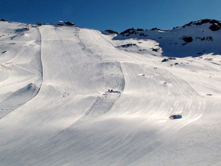
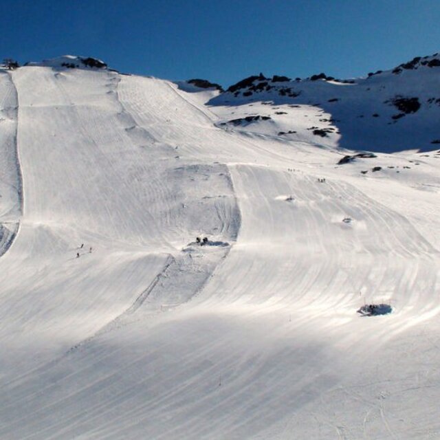
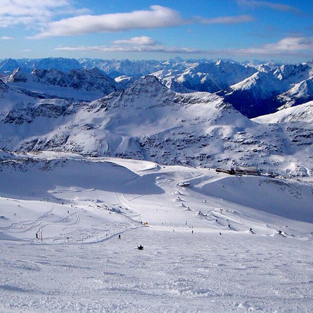
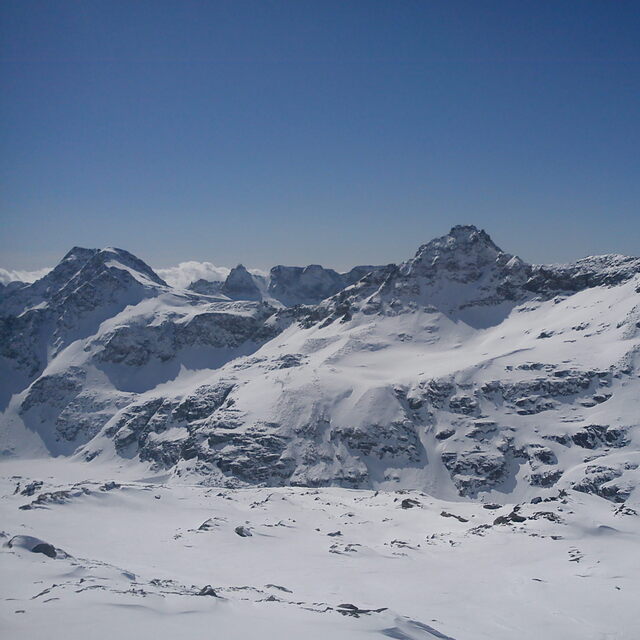
Latest snow reports near Mölltaler Gletscher:
| Top snow depth: | 0 cm |
|---|---|
| Bottom snow depth: | 0 cm |
| Fresh snowfall depth: | — |
| Last snowfall: | 12 Jun 2026 |
| Snow Alerts | Create Alert |
0.0 | Bluebird Powder days Fresh snow, mostly sunny, light wind. |
|---|---|
0.1 | Powder days Fresh snow, limited sun, any wind. |
0.0 | Bluebird days Average snow, mostly sunny, light wind. |
The above table gives the weather forecast for Mölltaler Gletscher at the specific elevation of 2621 m. Our sophisticated weather models allow us to provide snow forecasts for the top, middle and bottom ski stations of Mölltaler Gletscher. To access the weather forecasts for the other elevations, use the tab navigation above the table. For a wider view of the weather, check out the Weather Map of Austria.
Click here to read further information on freezing levels and how we forecast our temperatures.
Resort name is also written as Molltal Glacier.
Overall 4.3 Based on 13 votes and 4 reviews
Great ski resort and great place to train for skiing. I love to see all kinds of international ski teams there.
Vera from United States writes:
Great ski resort and great place to train for skiing. I love to see all kinds of international ski teams there.
Read 3 more reviews of Mölltaler Gletscher or submit your own


 Nearest