

A New Largest Ski Area in New Zealand?
The Remarkables is hoping to overtake Cardrona as New Zealand’s largest ski area under a major NZD 150 million‑plus expansion proposal lodged by owner NZSki.

Next 3 days weather summary:Heavy rain (total 43.0mm), heaviest during Wed night. Very mild (max 19°C on Wed afternoon, min 14°C on Wed night). Wind will be generally light. | Days 4-6 weather summary:Light rain (total 3.0mm), mostly falling on Sat afternoon. Warm (max 20°C on Mon afternoon, min 16°C on Sat night). Wind will be generally light. | ||||||||||||||||
Wed 24 | Thursday 25 | Friday 26 | Saturday 27 | Sunday 28 | Monday 29 | ||||||||||||
PM | night | AM | PM | night | AM | PM | night | AM | PM | night | AM | PM | night | AM | PM | night | |
t-storm risk | mod. rain | some clouds | t-storm risk | rain shwrs | rain shwrs | t-storm risk | rain shwrs | rain shwrs | t-storm risk | rain shwrs | clear | clear | clear | clear | clear | clear | |
km/h | |||||||||||||||||
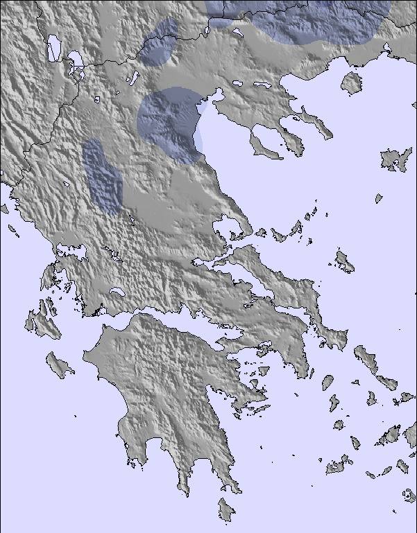
Snow map | 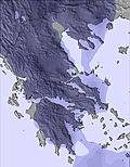 | 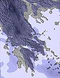 | 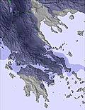 | 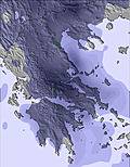 | 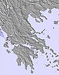 | 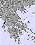 | |||||||||||
— | — | — | — | — | — | — | — | — | — | — | — | — | — | — | — | — | |
mm | 13 | 10 | — | 5 | 5 | 1 | 4 | 4 | 1 | 2 | 1 | — | — | — | — | — | — |
max °C | 19 | 16 | 18 | 18 | 17 | 19 | 19 | 19 | 18 | 19 | 18 | 18 | 19 | 18 | 18 | 20 | 19 |
min °C | 16 | 14 | 15 | 18 | 17 | 17 | 19 | 17 | 16 | 19 | 16 | 16 | 19 | 16 | 16 | 20 | 17 |
chill °C | 16 | 14 | 15 | 18 | 17 | 17 | 19 | 17 | 16 | 19 | 16 | 15 | 19 | 16 | 16 | 20 | 17 |
Humid % | 60 | 65 | 71 | 64 | 69 | 59 | 58 | 63 | 76 | 63 | 71 | 73 | 57 | 60 | 64 | 51 | 55 |
Freeze m | 4050 | 4050 | 4000 | 4050 | 4100 | 3950 | 4000 | 4100 | 4000 | 4000 | 4150 | 4300 | 4300 | 4250 | 4100 | 3900 | 4100 |
— | — | 6:07 | — | — | 6:07 | — | — | 6:07 | — | — | 6:09 | — | — | 6:09 | — | — | |
— | 9:07 | — | — | 9:07 | — | — | 9:07 | — | — | 9:07 | — | — | 9:07 | — | — | 9:07 | |
Go pro and carve into:
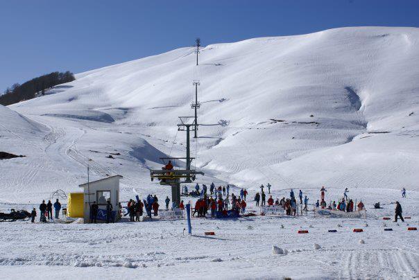
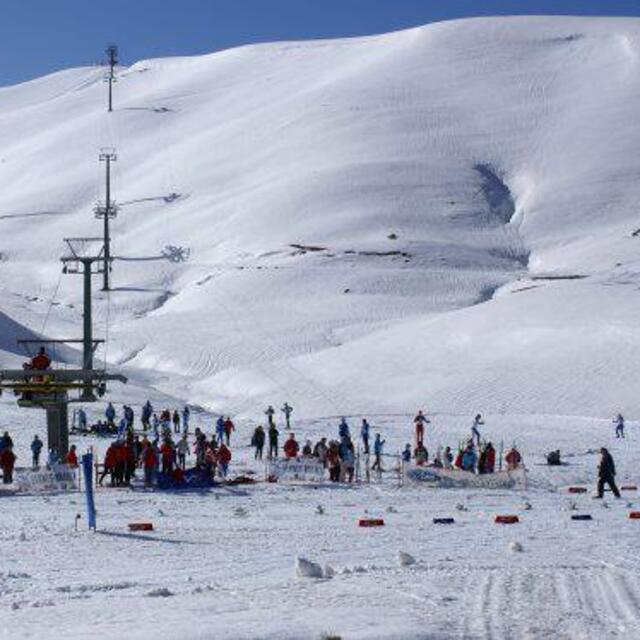
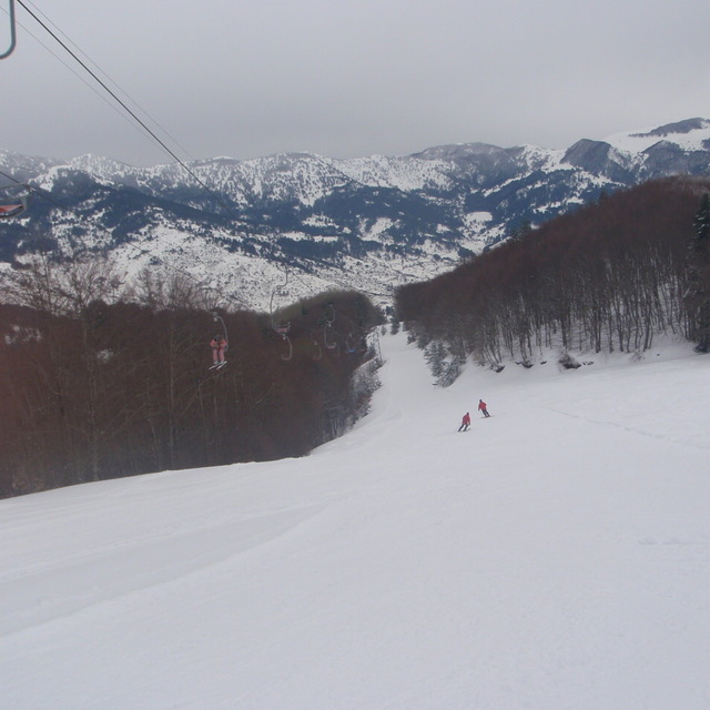
Latest snow reports near Metsovo Ski Resort:
| Top snow depth: | — |
|---|---|
| Bottom snow depth: | — |
| Fresh snowfall depth: | — |
| Last snowfall: | 2 May 2026 |
| Snow Alerts | Create Alert |
0.0 | Bluebird Powder days Fresh snow, mostly sunny, light wind. |
|---|---|
0.0 | Powder days Fresh snow, limited sun, any wind. |
0.0 | Bluebird days Average snow, mostly sunny, light wind. |

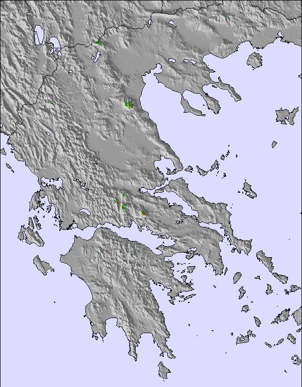
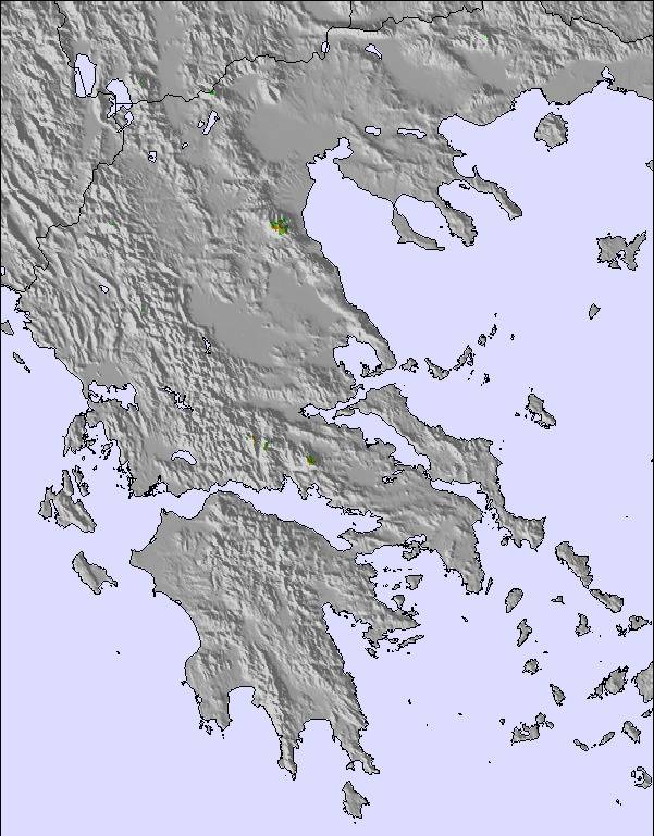
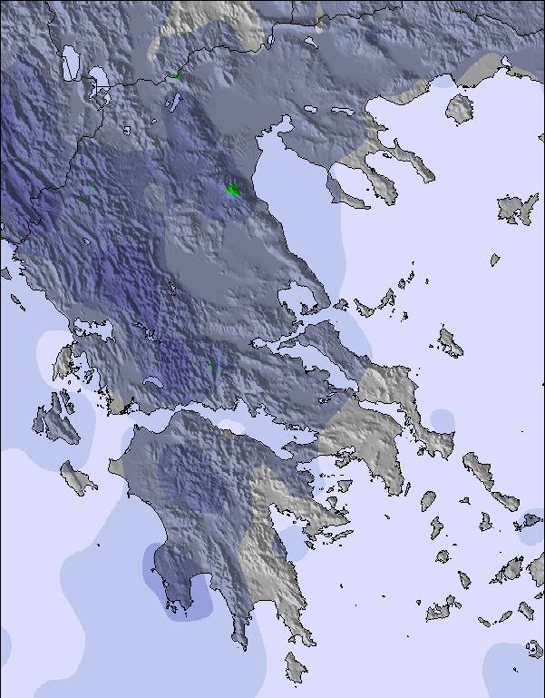
The above table gives the weather forecast for Metsovo Ski Resort at the specific elevation of 1490 m. Our sophisticated weather models allow us to provide snow forecasts for the top, middle and bottom ski stations of Metsovo Ski Resort. To access the weather forecasts for the other elevations, use the tab navigation above the table. For a wider view of the weather, check out the Weather Map of Greece.
Click here to read further information on freezing levels and how we forecast our temperatures.
Resort name is also written as Metsovo Ski Area.
Overall 3.3 Based on 6 votes and 3 reviews
ΤΟ χιονοδρομικό στόν Προφήτη Ηλία είναι τό πιό προσβάσιμο της χώρας. Σήμερα 19/12 μέ τα κανόνια τεχνητού χιονιού είχε ήδη χιόνι γιά έλκηθρο. Το σαλέ ΚΑΤΑΠΛΗΚΤΙΚΟ.
Διαθεσόπουλος Ιωάννης from Greece writes:
ΤΟ χιονοδρομικό στόν Προφήτη Ηλία είναι τό πιό προσβάσιμο της χώρας. Σήμερα 19/12 μέ τα κανόνια τεχνητού χιονιού είχε ήδη χιόνι γιά έλκηθρο. Το σαλέ ΚΑΤΑΠΛΗΚΤΙΚΟ.
Read 2 more reviews of Metsovo Ski Resort or submit your own

 Nearest