

Global Weekly Snow Roundup #320
Weekly Snow News for the world, updated 25 June 2026: Chile and New Zealand's seasons proper set to begin, Tignes and Sunshine reopen for summer skiing. weekend as Riksgransen ends its 2026 season.

Next 4 days weather summary:Mostly dry. Mild temperatures (max 5°C on Sun night, min 1°C on Mon morning). Winds decreasing (strong winds from the SE on Mon morning, calm by Tue afternoon). | Days 5-7 weather summary:Light rain (total 2.0mm), mostly falling on Sat afternoon. Temperatures will be slightly above freezing (max 3°C on Fri morning, min 1°C on Wed night). Winds increasing (calm on Wed night, near gales from the NNW by Sat afternoon). | |||||||||||||||
Monday 29 | Tuesday 30 | Wednesday 1 | Thursday 2 | Friday 3 | ||||||||||||
night | AM | PM | night | AM | PM | night | AM | PM | night | AM | PM | night | AM | PM | night | |
some clouds | clear | some clouds | clear | clear | clear | clear | clear | clear | clear | clear | some clouds | clear | clear | clear | clear | |
km/h | ||||||||||||||||
Snow map |  |  |  |  |  |  | ||||||||||
— | — | — | — | — | — | — | — | — | — | — | — | — | — | — | — | |
mm | — | — | — | — | — | — | — | — | — | — | — | — | — | — | — | — |
max °C | 5 | 1 | 1 | 2 | 4 | 4 | 3 | 3 | 2 | 2 | 1 | 2 | 2 | 3 | 3 | 3 |
min °C | 2 | 1 | 1 | 1 | 2 | 3 | 2 | 3 | 2 | 1 | 1 | 1 | 2 | 2 | 3 | 2 |
chill °C | -4 | -6 | -6 | -5 | 2 | 3 | -1 | 2 | 1 | -2 | -2 | -1 | 0 | -2 | 0 | -4 |
Humid % | 79 | 76 | 95 | 57 | 35 | 29 | 34 | 26 | 43 | 51 | 85 | 84 | 49 | 84 | 72 | 41 |
Freeze m | 2150 | 1550 | 1550 | 1950 | 2250 | 2350 | 2200 | 2150 | 1950 | 2000 | 1750 | 1850 | 2050 | 2150 | 2200 | 2250 |
— | 7:43 | — | — | 7:43 | — | — | 7:43 | — | — | 7:43 | — | — | 7:43 | — | — | |
— | — | 5:08 | — | — | 5:09 | — | — | 5:09 | — | — | 5:09 | — | — | 5:10 | — | |
Go pro and carve into:
Avalanche information: New Zealand Avalanche Advisory
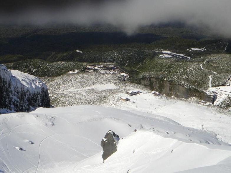
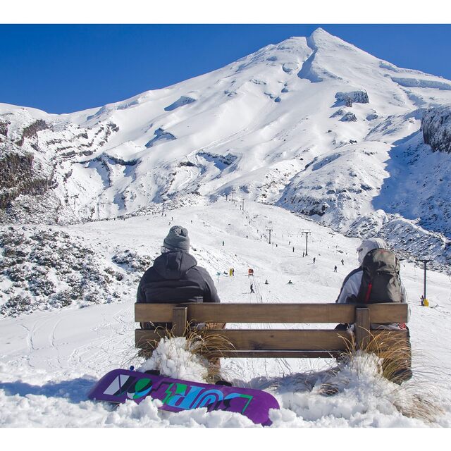
Latest snow reports near Manganui:
| Top snow depth: | — |
|---|---|
| Bottom snow depth: | — |
| Fresh snowfall depth: | — |
| Last snowfall: | 26 Jun 2026 |
| Snow Alerts | Create Alert |
0.4 | Bluebird Powder days Fresh snow, mostly sunny, light wind. |
|---|---|
0.0 | Powder days Fresh snow, limited sun, any wind. |
0.3 | Bluebird days Average snow, mostly sunny, light wind. |


The above table gives the weather forecast for Manganui at the specific elevation of 1469 m. Our sophisticated weather models allow us to provide snow forecasts for the top, middle and bottom ski stations of Manganui. To access the weather forecasts for the other elevations, use the tab navigation above the table. For a wider view of the weather, check out the Weather Map of New Zealand.
Click here to read further information on freezing levels and how we forecast our temperatures.
Overall 2.7 Based on 3 votes and 3 reviews
groovy little t-bar, great for the kids, nutcracker rope tow up higher for the hardcore only, deadly in icy conditions, great vibe locals, fickle hill but if you can strike mission and get lucky with the nutcracker the terrain is epic and a good steep pitch, bring your legs they gunna burn
barrell from Australia writes:
groovy little t-bar, great for the kids, nutcracker rope tow up higher for the hardcore only, deadly in icy conditions, great vibe locals, fickle hill but if you can strike mission and get lucky with the nutcracker the terrain is epic and a good steep pitch, bring your legs they gunna burn


 Nearest