

Banff Sunshine Village Opening for Summer Skiing
Banff Sunshine Village has confirmed it will reopen for a fortnight of summer skiing, from this weekend. The only ski area in Canada to be open into July.

Next 3 days weather summary:Moderate rain (total 12.0mm), heaviest on Thu night. Very mild (max 14°C on Tue afternoon, min 10°C on Tue night). Winds decreasing (fresh winds from the NW on Wed afternoon, light winds from the WSW by Thu morning). | Days 4-6 weather summary:Light rain (total 7.0mm), mostly falling on Fri afternoon. Very mild (max 17°C on Sun afternoon, min 11°C on Fri morning). Wind will be generally light. | |||||||||||||||||
Tuesday 23 | Wednesday 24 | Thursday 25 | Friday 26 | Saturday 27 | Sunday 28 | |||||||||||||
AM | PM | night | AM | PM | night | AM | PM | night | AM | PM | night | AM | PM | night | AM | PM | night | |
rain shwrs | some clouds | rain shwrs | rain shwrs | rain shwrs | some clouds | cloudy | light rain | rain shwrs | some clouds | rain shwrs | rain shwrs | some clouds | cloudy | rain shwrs | rain shwrs | rain shwrs | rain shwrs | |
km/h | ||||||||||||||||||
Snow map |  |  |  |  |  |  | ||||||||||||
— | — | — | — | — | — | — | — | — | — | — | — | — | — | — | — | — | — | |
mm | 2 | — | 1 | 1 | 1 | — | — | 1 | 6 | — | 2 | 1 | — | — | 1 | 1 | 1 | 1 |
max °C | 11 | 14 | 13 | 11 | 14 | 13 | 14 | 14 | 11 | 12 | 14 | 13 | 14 | 16 | 15 | 15 | 17 | 15 |
min °C | 11 | 13 | 10 | 10 | 13 | 12 | 13 | 11 | 11 | 11 | 13 | 12 | 13 | 16 | 13 | 14 | 17 | 14 |
chill °C | 9 | 12 | 7 | 7 | 10 | 10 | 12 | 8 | 9 | 9 | 12 | 10 | 12 | 16 | 12 | 13 | 17 | 13 |
Humid % | 90 | 70 | 73 | 80 | 67 | 71 | 62 | 82 | 90 | 93 | 82 | 83 | 81 | 70 | 65 | 70 | 65 | 65 |
Freeze m | 3700 | 3400 | 2950 | 2800 | 2950 | 3100 | 2900 | 3050 | 3200 | 3300 | 3400 | 3500 | 3500 | 3400 | 3150 | 3200 | 3500 | 3550 |
5:07 | — | — | 5:07 | — | — | 5:09 | — | — | 5:09 | — | — | 5:09 | — | — | 5:09 | — | — | |
— | — | 8:38 | — | — | 8:38 | — | — | 8:38 | — | — | 8:38 | — | — | 8:38 | — | — | 8:38 | |
Go pro and carve into:
Avalanche information: National Avalanche Center
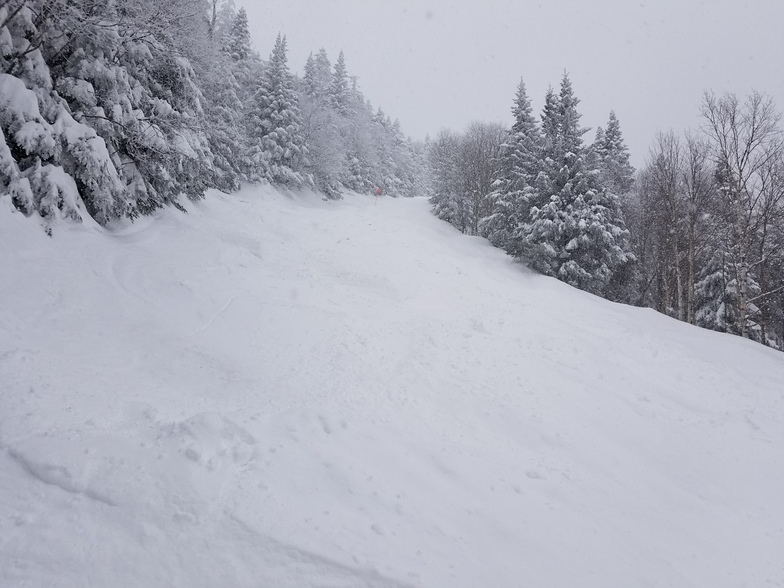
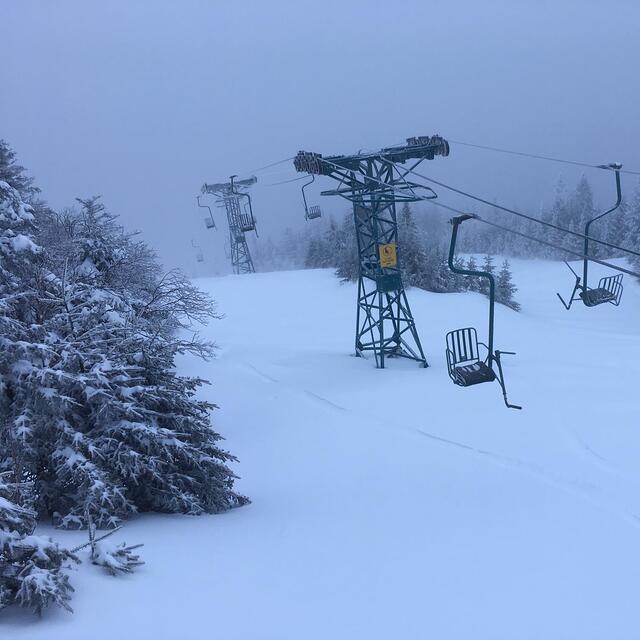
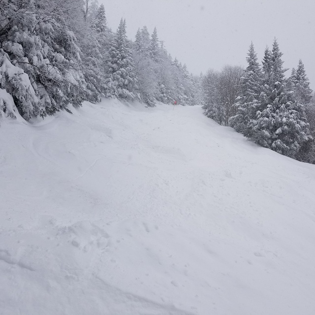
Latest snow reports near Mad River Glen:
| Top snow depth: | — |
|---|---|
| Bottom snow depth: | — |
| Fresh snowfall depth: | — |
| Last snowfall: | 29 May 2026 |
| Snow Alerts | Create Alert |
0.0 | Bluebird Powder days Fresh snow, mostly sunny, light wind. |
|---|---|
0.0 | Powder days Fresh snow, limited sun, any wind. |
0.0 | Bluebird days Average snow, mostly sunny, light wind. |
The above table gives the weather forecast for Mad River Glen at the specific elevation of 1109 m. Our sophisticated weather models allow us to provide snow forecasts for the top, middle and bottom ski stations of Mad River Glen. To access the weather forecasts for the other elevations, use the tab navigation above the table. For a wider view of the weather, check out the Weather Map of United States.
Click here to read further information on freezing levels and how we forecast our temperatures.
Overall 3.8 Based on 16 votes and 5 reviews
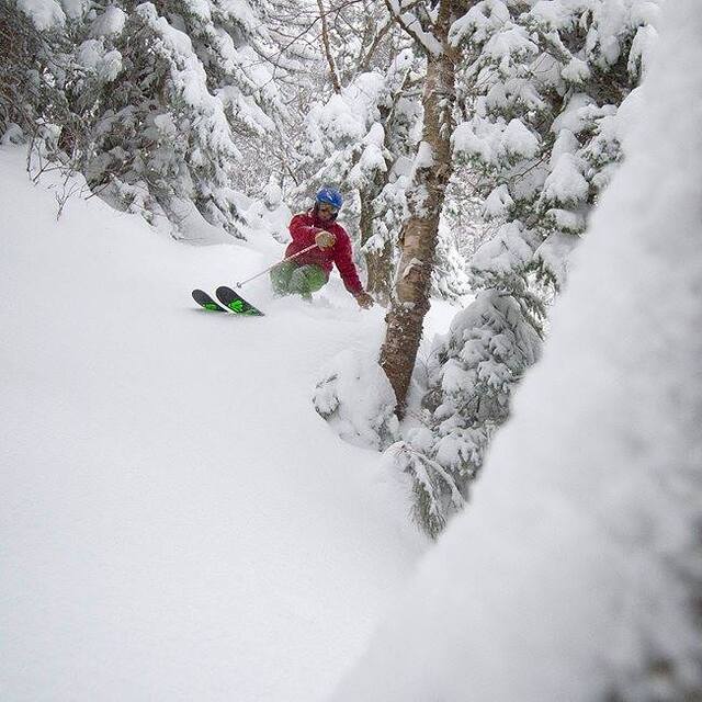
Full disclosure: I am a shareholder. Mad River Glen is owned by a co-op of approximately 1500 dedicated skiers. Shares are available for $2000 and come with many benefits. A recent campaign raised several million dollars, most of which has been expended in three areas: snowmaking, terrain enhancement, and extensive renovation and infrastructure improvements to the base lodge, and building a new Ski Patrol/Ski School facility. Snow-making was a priority for most shareholders and now intermediate trails below the 2300 elevation can be covered with man-made snow. In the 2019-20 season, all snow-making was completed on Jan 5th. This season, with 25% additional coverage, snow-making was completed by Jan 8. Above the 2300 ft level to the summits (2) of 3600 ft, Mother Nature does a good job. The pandemic posed many challenges for management and staff, but operations began on schedule, Dec 12, 2021. As of Feb 26, 2021, Mad River skiers are enjoying one of the best seasons ever. More information can be found online.
Albert Pierce from United States writes:
Full disclosure: I am a shareholder. Mad River Glen is owned by a co-op of approximately 1500 dedicated skiers. Shares are available for $2000 and come with many benefits. A recent campaign raised several million dollars, most of which has been expended in three areas: snowmaking, terrain enhancement, and extensive renovation and infrastructure improvements to the base lodge, and building a new Ski Patrol/Ski School facility. Snow-making was a priority for most shareholders and now intermediate trails below the 2300 elevation can be covered with man-made snow. In the 2019-20 season, all snow-making was completed on Jan 5th. This season, with 25% additional coverage, snow-making was completed by Jan 8. Above the 2300 ft level to the summits (2) of 3600 ft, Mother Nature does a good job. The pandemic posed many challenges for management and staff, but operations began on schedule, Dec 12, 2021. As of Feb 26, 2021, Mad River skiers are enjoying one of the best seasons ever. More information can be found online.


 Nearest