A dusting of new snow. Freeze-thaw conditions (max 4°C on Sun morning, min -2°C on Fri afternoon). Wind will be generally light.
Days 4-6 weather summary:
Moderate rain (total 15.0mm) on Tue morning. Becoming colder with heavy fall of snow, heaviest during Wed afternoon. Freeze-thaw conditions (max 3°C on Mon night, min -1°C on Tue night). Wind will be generally light.
Light rain reported from Aosta Airport at 546 metres elevation 5 kms NE of Pila but it is forecast cold enough for snow at the ski area from Pila
47km away from Les Houches
24 hours ago
Moderate rain reported from Aosta Airport at 546 metres elevation 5 kms NE of Pila but it is forecast cold enough for snow at higher elevations in the ski area from Pila
The above table gives the weather forecast for Les Houches at the specific elevation of 1860 m. Our sophisticated weather models allow us to provide snow forecasts for the top, middle and bottom ski stations of Les Houches. To access the weather forecasts for the other elevations, use the tab navigation above the table. For a wider view of the weather, check out the Weather Map of France.
Click here to read further information on freezing levels and how we forecast our temperatures.
As the Resort Manager for Les Houches (working without pay for the world renowned snow-forecast.com) you might expect me to be biased. Fear not, while I am certainly corruptible the sad fact is that I have received no offers at all. Therefore my own opinions remain utterly objective. I write as someone who loves this place, is not blind to its shortcomings, but choose to spend the whole winter here as well as some of the summer.
It's absolutely great, and I hope you come when the slopes are empty, the snow is in superb condition, and the weather perfect. But no promises; this is the mountains folks, and anything could happen.
But, if you see a lonely old bloke nursing a coffee and a pastry at the Jacquier patisserie under the Prarion lift, say hello and make my day. And read my resort news. Which is really a snow report in disguise.
[note from the ed: we do appreciate our RMs and all that they submit.]
As the Resort Manager for Les Houches (working without pay for the world renowned snow-forecast.com) you might expect me to be biased. Fear not, while I am certainly corruptible the sad fact is that I have received no offers at all. Therefore my own opinions remain utterly objective. I write as someone who loves this place, is not blind to its shortcomings, but choose to spend the whole winter here as well as some of the summer.
It's absolutely great, and I hope you come when the slopes are empty, the snow is in superb condition, and the weather perfect. But no promises; this is the mountains folks, and anything could happen.
But, if you see a lonely old bloke nursing a coffee and a pastry at the Jacquier patisserie under the Prarion lift, say hello and make my day. And read my resort news. Which is really a snow report in disguise.
[note from the ed: we do appreciate our RMs and all that they submit.]
Free Snow-Forecast.com weather widget for your website
Embed the Les Houches weather widget on your site for free. It provides a weekly snapshot of snow and rain conditions across all elevations. Follow the two quick steps to grab your custom code and paste it into your site. Choose between metric or imperial units. Click here to get the code.
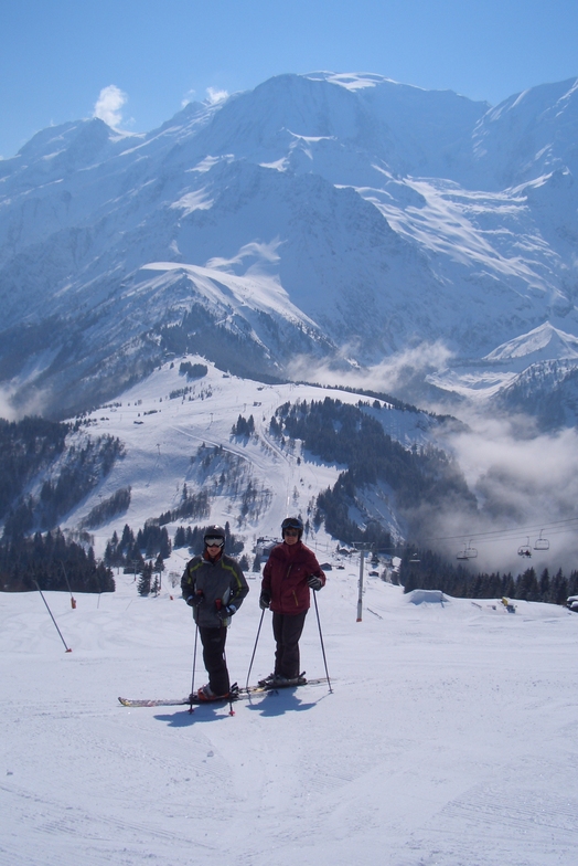

 ski hire exclusive discount




 Snow
 Hourly & 16-day forecasts



 Sign up or Login to access

 Upload new photo

 Nearest