Heavy rain (total 20.0mm), heaviest during Fri night. Mild temperatures (max 7°C on Fri night, min 3°C on Sun morning). Wind will be generally light.
Days 5-7 weather summary:
Light rain (total 3.0mm) at first, then becoming colder with a dusting of snow on Thu afternoon. Freeze-thaw conditions (max 6°C on Mon night, min -2°C on Wed night). Winds decreasing (fresh winds from the WSW on Mon night, calm by Tue night).
The above table gives the weather forecast for Les Diablerets at the specific elevation of 3000 m. Our sophisticated weather models allow us to provide snow forecasts for the top, middle and bottom ski stations of Les Diablerets. To access the weather forecasts for the other elevations, use the tab navigation above the table. For a wider view of the weather, check out the Weather Map of Switzerland.
Click here to read further information on freezing levels and how we forecast our temperatures.
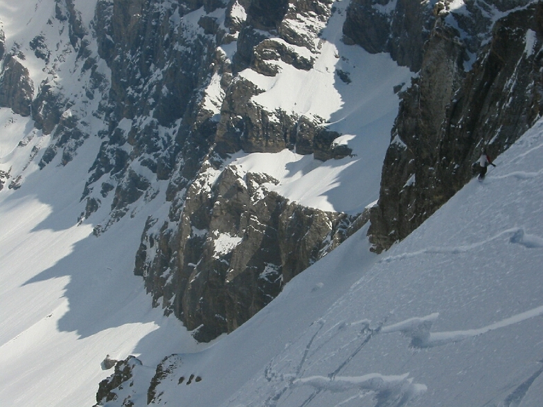
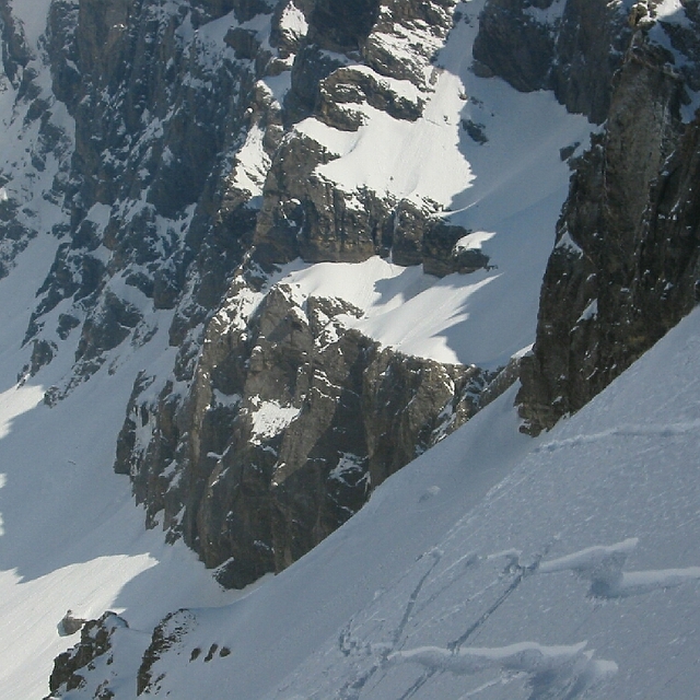
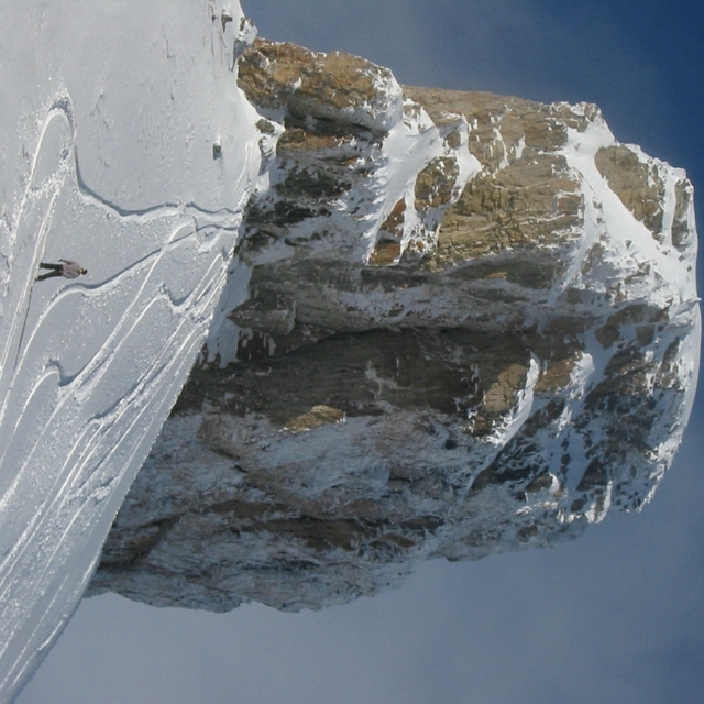
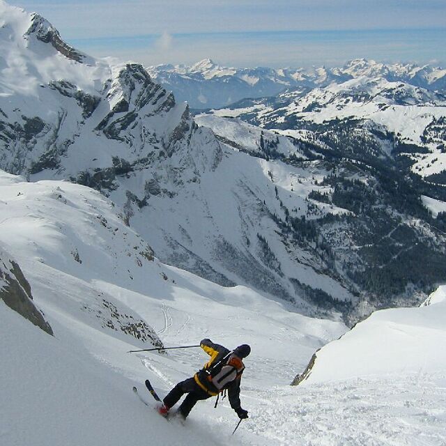
The piste map is not up-to-date anymore. The Isenau section is out of order, so Diablerets-Villars-Gryon is not ski-linked anymore with Glacier 3000. The link between Diablerets and Villars-Gryon is via a skilift in both directions. I only went skiing there, did not stay on the mountain. I parked in Gryon. First day in the center, where you can take a bus or just walk for 5 min to the lift; you have a piste 'til there. Second day at the lift itself. Gryon is 1 nice mountain, Villars has a snow guaranteed high plateau and a nice village run. Diablerets is mainly between the trees, the nicest (red valley) run starts at the middle-station. The ski route of Villars was not open when I was there, so not so demanding.
The piste map is not up-to-date anymore. The Isenau section is out of order, so Diablerets-Villars-Gryon is not ski-linked anymore with Glacier 3000. The link between Diablerets and Villars-Gryon is via a skilift in both directions. I only went skiing there, did not stay on the mountain. I parked in Gryon. First day in the center, where you can take a bus or just walk for 5 min to the lift; you have a piste 'til there. Second day at the lift itself. Gryon is 1 nice mountain, Villars has a snow guaranteed high plateau and a nice village run. Diablerets is mainly between the trees, the nicest (red valley) run starts at the middle-station. The ski route of Villars was not open when I was there, so not so demanding.
Free Snow-Forecast.com weather widget for your website
Embed the Les Diablerets weather widget on your site for free. It provides a weekly snapshot of snow and rain conditions across all elevations. Follow the two quick steps to grab your custom code and paste it into your site. Choose between metric or imperial units. Click here to get the code.


 Nearest