

America’s Next Indoor Snow Centre Takes Shape
Construction of a new indoor snow centre for skiers, boarders and tubers appears to be making good progress at Heritage Farm in Wayne County, West Virginia.

Next 3 days weather summary:Light rain (total 5.0mm), mostly falling on Thu afternoon. Warm (max 28°C on Fri afternoon, min 9°C on Sat night). Wind will be generally light. | Days 4-6 weather summary:Light rain (total 7.0mm), mostly falling on Sun afternoon. Warm (max 25°C on Tue afternoon, min 8°C on Sun night). Wind will be generally light. | |||||||||||||||||
Thursday 23 | Friday 24 | Saturday 25 | Sunday 26 | Monday 27 | Tuesday 28 | |||||||||||||
AM | PM | night | AM | PM | night | AM | PM | night | AM | PM | night | AM | PM | night | AM | PM | night | |
clear | t-storm risk | rain shwrs | clear | some clouds | clear | clear | clear | rain shwrs | t-storm risk | rain shwrs | rain shwrs | clear | clear | clear | clear | clear | clear | |
km/h | ||||||||||||||||||
Snow map | 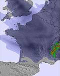 |  | 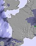 | 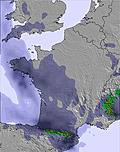 |  |  | ||||||||||||
— | — | — | — | — | — | — | — | — | — | — | — | — | — | — | — | — | — | |
mm | — | 1 | 1 | — | — | — | — | — | 3 | 2 | 4 | 1 | — | — | — | — | — | — |
max °C | 23 | 26 | 21 | 24 | 28 | 22 | 21 | 23 | 18 | 15 | 17 | 13 | 17 | 22 | 18 | 22 | 25 | 21 |
min °C | 18 | 24 | 15 | 17 | 27 | 15 | 16 | 23 | 9 | 10 | 14 | 8 | 10 | 21 | 11 | 14 | 25 | 16 |
chill °C | 18 | 24 | 15 | 17 | 27 | 15 | 16 | 23 | 8 | 9 | 13 | 7 | 9 | 21 | 11 | 14 | 25 | 16 |
Humid % | 34 | 34 | 33 | 25 | 22 | 39 | 32 | 26 | 87 | 68 | 71 | 88 | 50 | 36 | 59 | 32 | 33 | 54 |
Freeze m | 4550 | 4600 | 4650 | 4800 | 4850 | 4700 | 4350 | 4200 | 3900 | 3650 | 3650 | 4050 | 4250 | 4700 | 4850 | 4900 | 4900 | 4900 |
6:33 | — | — | 6:35 | — | — | 6:35 | — | — | 6:35 | — | — | 6:37 | — | — | 6:37 | — | — | |
— | — | 9:21 | — | — | 9:20 | — | — | 9:19 | — | — | 9:17 | — | — | 9:16 | — | — | 9:15 | |
Go pro and carve into:
Avalanche information: European Avalanche Warning Services (EAWS)
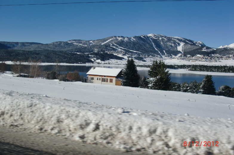
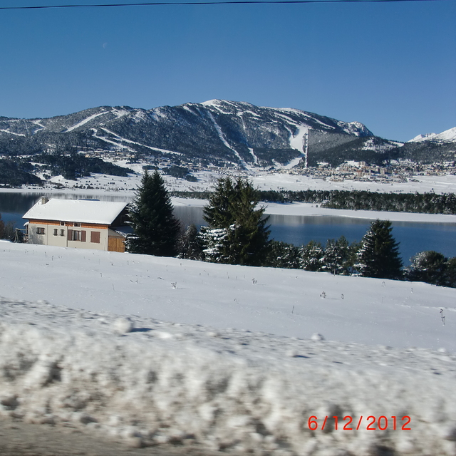
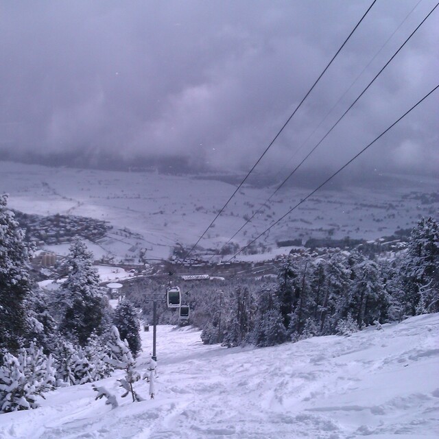
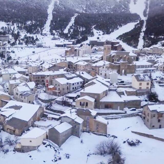
Latest snow reports near Les Angles:
| Top snow depth: | 0 cm |
|---|---|
| Bottom snow depth: | 0 cm |
| Fresh snowfall depth: | — |
| Last snowfall: | 17 May 2026 |
| Snow Alerts | Create Alert |
0.0 | Bluebird Powder days Fresh snow, mostly sunny, light wind. |
|---|---|
0.0 | Powder days Fresh snow, limited sun, any wind. |
0.0 | Bluebird days Average snow, mostly sunny, light wind. |
The above table gives the weather forecast for Les Angles at the specific elevation of 1650 m. Our sophisticated weather models allow us to provide snow forecasts for the top, middle and bottom ski stations of Les Angles. To access the weather forecasts for the other elevations, use the tab navigation above the table. For a wider view of the weather, check out the Weather Map of France.
Click here to read further information on freezing levels and how we forecast our temperatures.
Overall 3.9 Based on 15 votes and 8 reviews
Pistas lasrgas para principiantes. Buen servicio. Barato. Udeal para familias y principiantes progresando. Pero las pistas rojas marcadas como rojas son en realidad azules/verdes, tienen poco desnivel y largos trayestos de semiplano. 2 pistas negras cortas que se podrian considerar rojas. Por lo demas la calidad del servicio es muy superior a la de culaquier pista española.
Jose L. Parra from Spain writes:
Pistas lasrgas para principiantes. Buen servicio. Barato. Udeal para familias y principiantes progresando. Pero las pistas rojas marcadas como rojas son en realidad azules/verdes, tienen poco desnivel y largos trayestos de semiplano. 2 pistas negras cortas que se podrian considerar rojas. Por lo demas la calidad del servicio es muy superior a la de culaquier pista española.


 Nearest