

Global Weekly Snow Roundup #320
Weekly Snow News for the world, updated 25 June 2026: Chile and New Zealand's seasons proper set to begin, Tignes and Sunshine reopen for summer skiing. weekend as Riksgransen ends its 2026 season.

Next 3 days weather summary:Light rain (total 5.0mm), mostly falling on Sun night. Warm (max 29°C on Sun afternoon, min 19°C on Fri night). Wind will be generally light. | Days 4-6 weather summary:Heavy rain (total 43.0mm), heaviest during Mon afternoon. Warm (max 29°C on Mon afternoon, min 10°C on Wed night). Winds increasing (calm on Mon night, fresh winds from the NW by Wed night). | |||||||||||||||||
Friday 26 | Saturday 27 | Sunday 28 | Monday 29 | Tuesday 30 | Wednesday 1 | |||||||||||||
AM | PM | night | AM | PM | night | AM | PM | night | AM | PM | night | AM | PM | night | AM | PM | night | |
clear | clear | clear | clear | clear | clear | clear | some clouds | rain shwrs | clear | rain shwrs | rain shwrs | clear | t-storm risk | rain shwrs | rain shwrs | heavy rain | light rain | |
km/h | ||||||||||||||||||
Snow map |  |  |  | 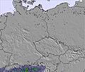 | 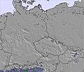 | 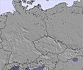 | ||||||||||||
— | — | — | — | — | — | — | — | — | — | — | — | — | — | — | — | — | — | |
mm | — | — | — | — | — | — | — | — | 5 | — | 11 | 3 | — | 1 | 14 | 1 | 11 | 2 |
max °C | 22 | 24 | 22 | 24 | 27 | 24 | 27 | 29 | 23 | 28 | 29 | 22 | 23 | 25 | 22 | 22 | 23 | 17 |
min °C | 21 | 24 | 19 | 22 | 26 | 22 | 25 | 28 | 22 | 26 | 20 | 20 | 22 | 25 | 20 | 21 | 18 | 10 |
chill °C | 21 | 24 | 19 | 22 | 26 | 22 | 25 | 28 | 22 | 26 | 20 | 20 | 22 | 25 | 20 | 21 | 18 | 7 |
Humid % | 60 | 55 | 67 | 51 | 46 | 58 | 45 | 47 | 54 | 41 | 76 | 75 | 70 | 65 | 63 | 65 | 86 | 94 |
Freeze m | 4150 | 4300 | 4350 | 4350 | 4400 | 4350 | 4400 | 4400 | 4500 | 4500 | 4400 | 4550 | 4450 | 4500 | 4400 | 4250 | 4200 | 4050 |
4:31 | — | — | 4:31 | — | — | 4:31 | — | — | 4:31 | — | — | 4:33 | — | — | 4:33 | — | — | |
— | — | 8:45 | — | — | 8:45 | — | — | 8:45 | — | — | 8:45 | — | — | 8:45 | — | — | 8:45 | |
Go pro and carve into:
Avalanche information: European Avalanche Warning Services (EAWS)
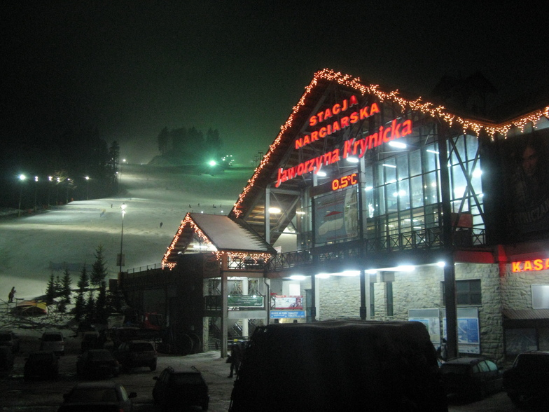
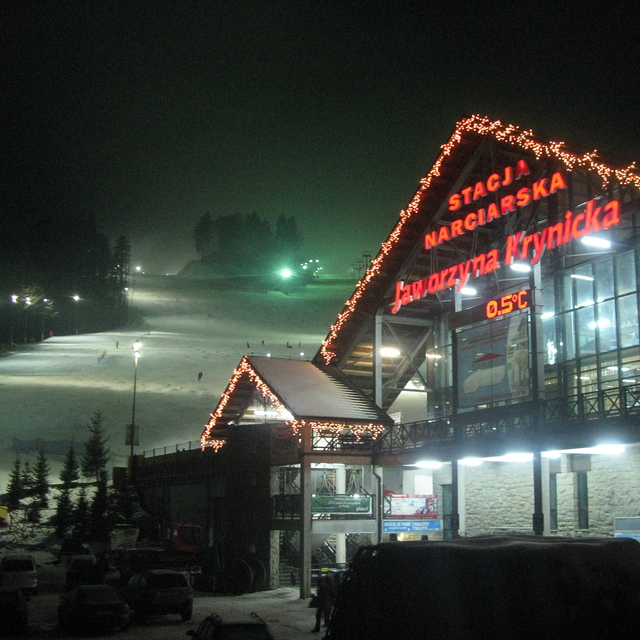
Latest snow reports near Jaworzyna Krynicka:
| Top snow depth: | 0 cm |
|---|---|
| Bottom snow depth: | 0 cm |
| Fresh snowfall depth: | — |
| Last snowfall: | 20 Apr 2026 |
| Snow Alerts | Create Alert |
0.0 | Bluebird Powder days Fresh snow, mostly sunny, light wind. |
|---|---|
0.0 | Powder days Fresh snow, limited sun, any wind. |
0.0 | Bluebird days Average snow, mostly sunny, light wind. |
The above table gives the weather forecast for Jaworzyna Krynicka at the specific elevation of 880 m. Our sophisticated weather models allow us to provide snow forecasts for the top, middle and bottom ski stations of Jaworzyna Krynicka. To access the weather forecasts for the other elevations, use the tab navigation above the table. For a wider view of the weather, check out the Weather Map of Poland.
Click here to read further information on freezing levels and how we forecast our temperatures.
Overall 3.9 Based on 14 votes and 2 reviews
Очень понравился отдых в Крынице (начало января 2010 года). Лыжи, санки, коньки, конные и собачьи упряжки, сауна со СПА - это супер. Крыница - это то место, куда хочется приехать еще раз.
Alex (Kiev) from Ukraine writes:
Очень понравился отдых в Крынице (начало января 2010 года). Лыжи, санки, коньки, конные и собачьи упряжки, сауна со СПА - это супер. Крыница - это то место, куда хочется приехать еще раз.
Read 1 more reviews of Jaworzyna Krynicka or submit your own


 Nearest