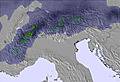
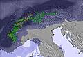
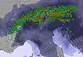
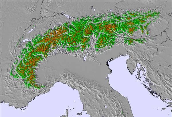
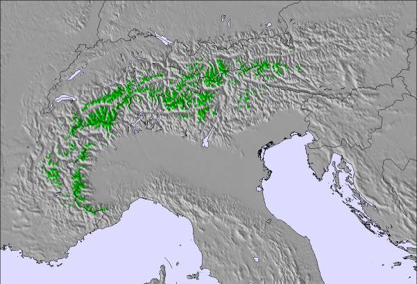
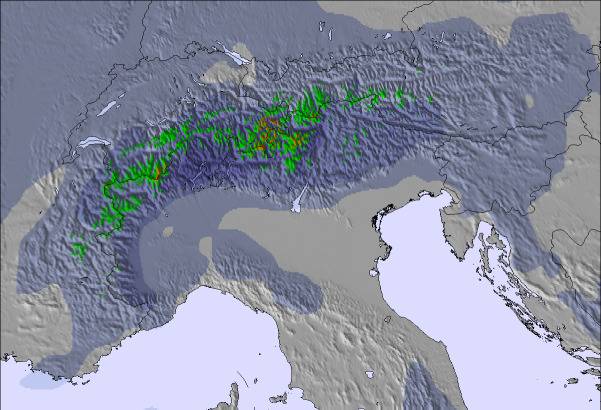
The above table gives the weather forecast for Krvavec at the specific elevation of 1970 m. Our sophisticated weather models allow us to provide snow forecasts for the top, middle and bottom ski stations of Krvavec. To access the weather forecasts for the other elevations, use the tab navigation above the table. For a wider view of the weather, check out the Weather Map of Slovenia.
Click here to read further information on freezing levels and how we forecast our temperatures.
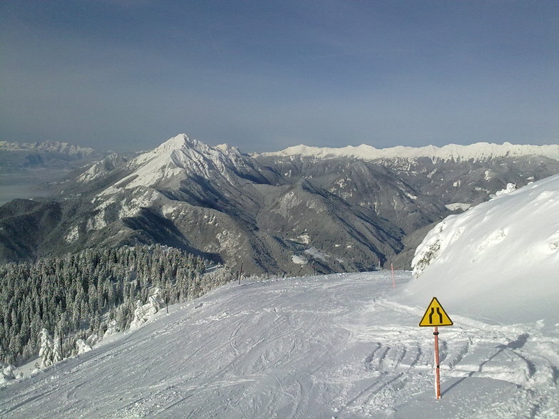
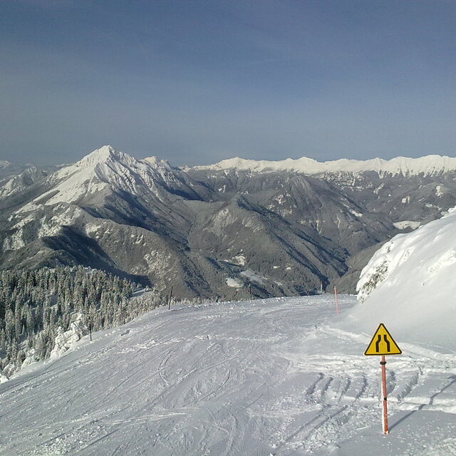
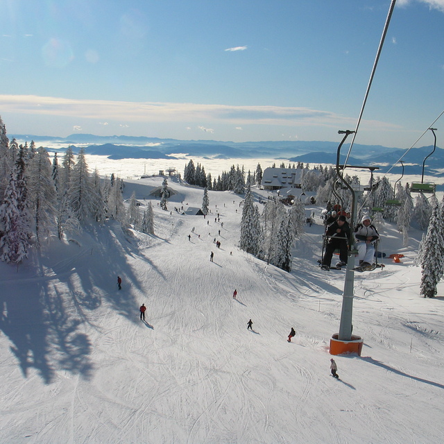
We went to Krvavec ski resort on 26th / 27th December 09 and had a fabulous 2 days of skiing. Vogel had suffered the worst floods in years, (135mm of rain at 1550m resort height) so our planned week holiday was all but washed out! Luckily Krvavec was only a 1 hour taxi ride away, so we were able to salvage two days of enjoyable Intermediate skiing at the end of the holiday.
The resort is pretty much as described in the Snow-Forecast resort review, the only vital piece of information that is missing is that Krvavec is only a 15 minute taxi ride away from Ljlbjana airport, so with a 3.30pm Easyjet flight home on the 27th we were able to enjoy 4 hours skiing before heading off!... A holiday saver.... So if you plan a holiday in the various Slovenian resorts, it is worth trying out in the morning before you head off home!!
The ski-hire shop (Intersport at the top of the gondola) were very helpful, with good equipment - infact during our stay in Vogel and Krvavec we found all the locals were absolutely charming and very eager to help whenever they could.
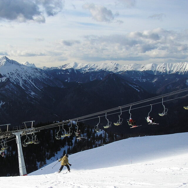
In summary, Krvavec ski resort is well worth a visit, it enjoys almost full piste cover with snow canons, so is pretty much guaranteed skiing from 20th December to late March.
Enjoy! Guy
We went to Krvavec ski resort on 26th / 27th December 09 and had a fabulous 2 days of skiing. Vogel had suffered the worst floods in years, (135mm of rain at 1550m resort height) so our planned week holiday was all but washed out! Luckily Krvavec was only a 1 hour taxi ride away, so we were able to salvage two days of enjoyable Intermediate skiing at the end of the holiday.
The resort is pretty much as described in the Snow-Forecast resort review, the only vital piece of information that is missing is that Krvavec is only a 15 minute taxi ride away from Ljlbjana airport, so with a 3.30pm Easyjet flight home on the 27th we were able to enjoy 4 hours skiing before heading off!... A holiday saver.... So if you plan a holiday in the various Slovenian resorts, it is worth trying out in the morning before you head off home!!
The ski-hire shop (Intersport at the top of the gondola) were very helpful, with good equipment - infact during our stay in Vogel and Krvavec we found all the locals were absolutely charming and very eager to help whenever they could.
In summary, Krvavec ski resort is well worth a visit, it enjoys almost full piste cover with snow canons, so is pretty much guaranteed skiing from 20th December to late March.
Free Snow-Forecast.com weather widget for your website
Embed the Krvavec weather widget on your site for free. It provides a weekly snapshot of snow and rain conditions across all elevations. Follow the two quick steps to grab your custom code and paste it into your site. Choose between metric or imperial units. Click here to get the code.


 Nearest