
North America Weekly Snow Roundup #320
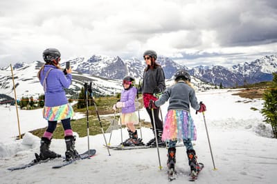
Weekly Snow News for North America, updated 25 June 2026: Timberline and Beartooth still open and are joined by Banff's Sunshine for 16 days of summer skiing.

Next 3 days weather summary:Moderate rain (total 14.0mm), heaviest on Sat night. Warm (max 23°C on Thu morning, min 9°C on Sat night). Winds increasing (light winds from the SE on Thu night, strong winds from the S by Fri night). | Days 4-6 weather summary:Moderate rain (total 12.0mm), heaviest on Tue night. Very mild (max 12°C on Mon afternoon, min 8°C on Sun night). Winds increasing (calm on Mon night, strong winds from the SW by Tue night). | |||||||||||||||||
Thursday 25 | Friday 26 | Saturday 27 | Sunday 28 | Monday 29 | Tuesday 30 | |||||||||||||
AM | PM | night | AM | PM | night | AM | PM | night | AM | PM | night | AM | PM | night | AM | PM | night | |
clear | clear | some clouds | some clouds | clear | rain shwrs | light rain | light rain | rain shwrs | rain shwrs | some clouds | some clouds | cloudy | t-storm risk | rain shwrs | some clouds | cloudy | mod. rain | |
km/h | ||||||||||||||||||
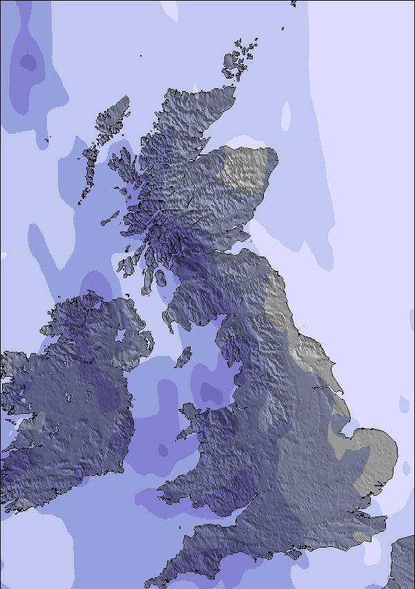
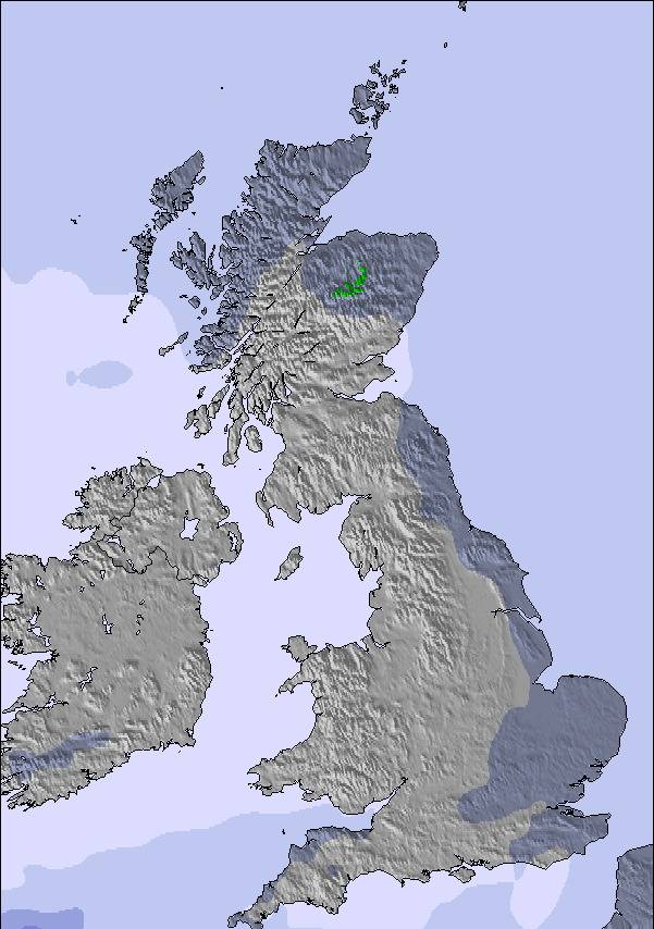
Snow map | 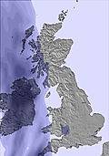 | 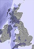 | 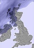 | 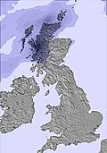 | 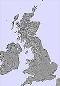 | 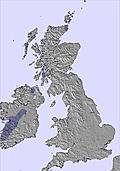 | ||||||||||||
— | — | — | — | — | — | — | — | — | — | — | — | — | — | — | — | — | — | |
mm | — | — | — | — | — | 1 | 2 | 2 | 9 | 1 | — | — | — | 3 | 2 | — | — | 6 |
max °C | 23 | 23 | 22 | 19 | 16 | 14 | 13 | 13 | 12 | 10 | 11 | 9 | 11 | 12 | 12 | 12 | 12 | 12 |
min °C | 22 | 23 | 19 | 17 | 15 | 13 | 13 | 13 | 9 | 9 | 11 | 8 | 10 | 12 | 9 | 11 | 11 | 11 |
chill °C | 22 | 23 | 19 | 16 | 13 | 10 | 10 | 10 | 7 | 6 | 8 | 5 | 9 | 11 | 9 | 10 | 8 | 7 |
Humid % | 60 | 53 | 72 | 71 | 79 | 86 | 96 | 97 | 89 | 70 | 72 | 63 | 76 | 78 | 76 | 65 | 69 | 97 |
Freeze m | 4400 | 4400 | 4300 | 4000 | 3950 | 3350 | 3350 | 3450 | 3000 | 2550 | 2750 | 2850 | 2500 | 2500 | 2500 | 2550 | 2900 | 3300 |
5:09 | — | — | 5:09 | — | — | 5:09 | — | — | 5:09 | — | — | 5:11 | — | — | 5:11 | — | — | |
— | 9:55 | — | — | 9:55 | — | — | 9:55 | — | — | 9:54 | — | — | 9:54 | — | — | 9:54 | — | |
Go pro and carve into:
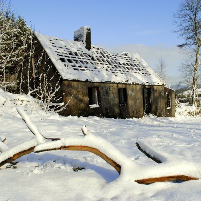
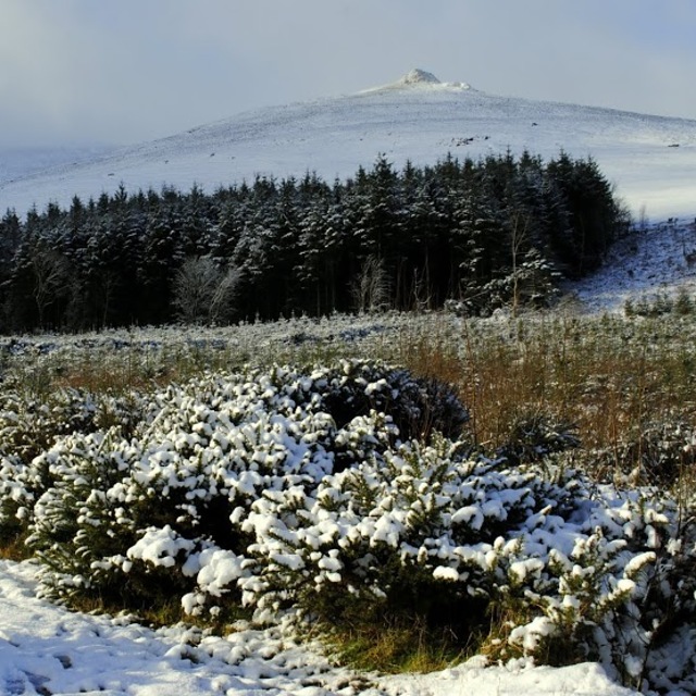
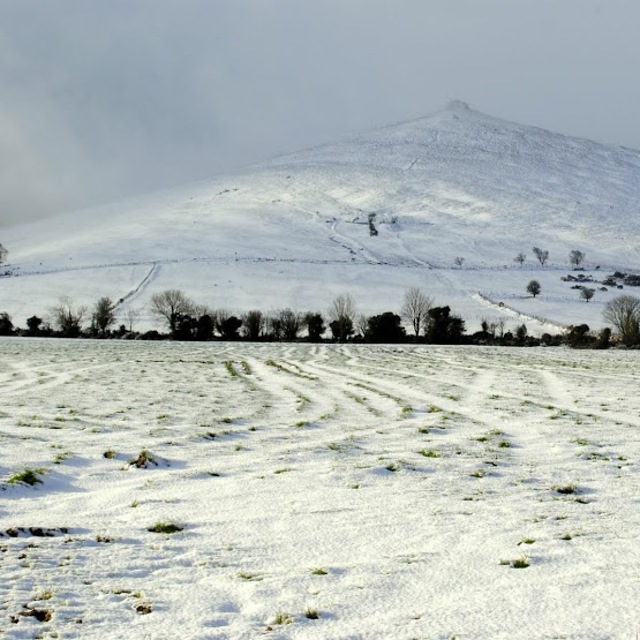
Latest snow reports near Knockanaffrin (Comeragh Mts):
| Top snow depth: | — |
|---|---|
| Bottom snow depth: | — |
| Fresh snowfall depth: | — |
| Last snowfall: | 4 Apr 2026 |
| Snow Alerts | Create Alert |
0.0 | Bluebird Powder days Fresh snow, mostly sunny, light wind. |
|---|---|
0.0 | Powder days Fresh snow, limited sun, any wind. |
0.0 | Bluebird days Average snow, mostly sunny, light wind. |
The above table gives the weather forecast for Knockanaffrin (Comeragh Mts) at the specific elevation of 755 m. Our sophisticated weather models allow us to provide snow forecasts for the top, middle and bottom ski stations of Knockanaffrin (Comeragh Mts). To access the weather forecasts for the other elevations, use the tab navigation above the table. For a wider view of the weather, check out the Weather Map of Ireland.
Click here to read further information on freezing levels and how we forecast our temperatures.
Resort name is also written as Knockanaffrin.
Overall 4.0 Based on 1 vote and 2 reviews
St.Patrick's Day,17th March 2006: lots of snow on ridge and rest of Comeragh range after a weather front coming from the South met with an easterly airflow. Went sledding on ridge with my brother up by Lough Mohra. 22 January 2007: went snowboarding on ridge lots of snow after a couple of days of it falling. If conditions were like this more regularly one could master the art of boarding here in very little time. 8 February 2007: snowboarding off ridge with brother up by Lough Mohra icy coating on the snow along the roadway really sped up the board got a good hang of it. 10 February 2007: went boarding with brother again snow on the way out getting very slushy and soft not a great outing. 19 March 2007: couple of days heavy snow showers went boarding with brother and brother in-law on Knocksheegowna very steep good fun. 20 January 2009: went snowboarding with brother knee to hip depth on top of col / ridge. Met man from Co.Tipperary when on way back down who was getting in some ski practice in preparation for an upcoming trip to the Italian Dolomites. He was delighted with the conditions. I took his photograph and it appeared on Matin King weather TV3 22 January 2009.
Brian Simpson from Ireland writes:
St.Patrick's Day,17th March 2006: lots of snow on ridge and rest of Comeragh range after a weather front coming from the South met with an easterly airflow. Went sledding on ridge with my brother up by Lough Mohra.
22 January 2007: went snowboarding on ridge lots of snow after a couple of days of it falling. If conditions were like this more regularly one could master the art of boarding here in very little time.
8 February 2007: snowboarding off ridge with brother up by Lough Mohra icy coating on the snow along the roadway really sped up the board got a good hang of it.
10 February 2007: went boarding with brother again snow on the way out getting very slushy and soft not a great outing.
19 March 2007: couple of days heavy snow showers went boarding with brother and brother in-law on Knocksheegowna very steep good fun.
20 January 2009: went snowboarding with brother knee to hip depth on top of col / ridge. Met man from Co.Tipperary when on way back down who was getting in some ski practice in preparation for an upcoming trip to the Italian Dolomites. He was delighted with the conditions. I took his photograph and it appeared on Matin King weather TV3 22 January 2009.
Read 1 more reviews of Knockanaffrin (Comeragh Mts) or submit your own

 Nearest