

Banff Sunshine Village Opening for Summer Skiing
Banff Sunshine Village has confirmed it will reopen for a fortnight of summer skiing, from this weekend. The only ski area in Canada to be open into July.

Next 3 days weather summary:Mostly dry. Warm (max 24°C on Wed afternoon, min 17°C on Mon night). Wind will be generally light. | Days 4-6 weather summary:Light rain (total 8.0mm), mostly falling on Fri night. Warm (max 25°C on Thu afternoon, min 11°C on Sat night). Winds increasing (light winds from the WSW on Fri night, strong winds from the SW by Sat night). | |||||||||||||||||
Monday 22 | Tuesday 23 | Wednesday 24 | Thursday 25 | Friday 26 | Saturday 27 | |||||||||||||
AM | PM | night | AM | PM | night | AM | PM | night | AM | PM | night | AM | PM | night | AM | PM | night | |
some clouds | clear | clear | clear | clear | some clouds | clear | some clouds | some clouds | clear | cloudy | rain shwrs | cloudy | cloudy | light rain | light rain | rain shwrs | some clouds | |
km/h | ||||||||||||||||||
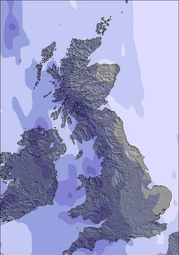
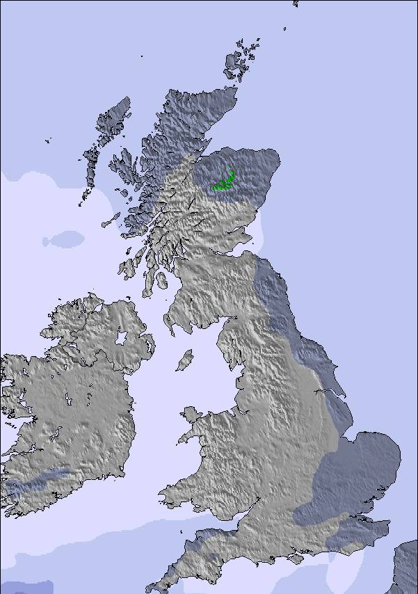
Snow map | 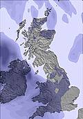 | 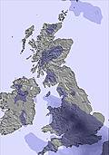 | 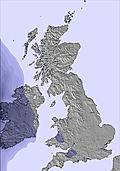 | 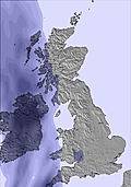 | 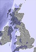 | 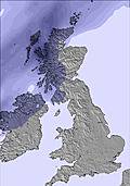 | ||||||||||||
— | — | — | — | — | — | — | — | — | — | — | — | — | — | — | — | — | — | |
mm | — | — | — | — | — | — | — | — | — | — | — | 1 | — | — | 4 | 1 | 2 | — |
max °C | 20 | 21 | 19 | 22 | 23 | 19 | 23 | 24 | 21 | 24 | 25 | 22 | 15 | 15 | 14 | 13 | 13 | 12 |
min °C | 18 | 21 | 17 | 20 | 22 | 17 | 21 | 23 | 19 | 22 | 24 | 15 | 14 | 15 | 13 | 12 | 12 | 11 |
chill °C | 18 | 21 | 17 | 20 | 22 | 17 | 21 | 23 | 19 | 22 | 24 | 13 | 12 | 13 | 12 | 10 | 9 | 8 |
Humid % | 64 | 70 | 83 | 71 | 60 | 79 | 71 | 61 | 69 | 67 | 60 | 83 | 97 | 91 | 98 | 69 | 95 | 78 |
Freeze m | 3950 | 4150 | 4300 | 4450 | 4450 | 4450 | 4350 | 4400 | 4450 | 4350 | 4400 | 4250 | 3350 | 3700 | 3450 | 3350 | 3100 | 2800 |
5:07 | — | — | 5:07 | — | — | 5:09 | — | — | 5:09 | — | — | 5:09 | — | — | 5:09 | — | — | |
— | 9:54 | — | — | 9:55 | — | — | 9:55 | — | — | 9:55 | — | — | 9:55 | — | — | 9:55 | — | |
Go pro and carve into:
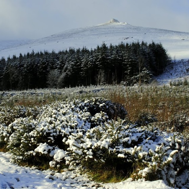
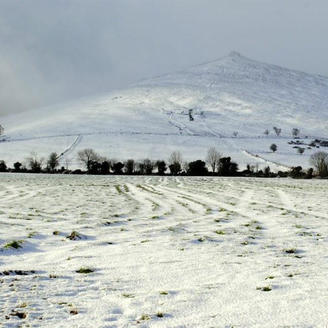
Latest snow reports near Knockanaffrin (Comeragh Mts):
| Top snow depth: | — |
|---|---|
| Bottom snow depth: | — |
| Fresh snowfall depth: | — |
| Last snowfall: | 4 Apr 2026 |
| Snow Alerts | Create Alert |
0.0 | Bluebird Powder days Fresh snow, mostly sunny, light wind. |
|---|---|
0.0 | Powder days Fresh snow, limited sun, any wind. |
0.0 | Bluebird days Average snow, mostly sunny, light wind. |
The above table gives the weather forecast for Knockanaffrin (Comeragh Mts) at the specific elevation of 450 m. Our sophisticated weather models allow us to provide snow forecasts for the top, middle and bottom ski stations of Knockanaffrin (Comeragh Mts). To access the weather forecasts for the other elevations, use the tab navigation above the table. For a wider view of the weather, check out the Weather Map of Ireland.
Click here to read further information on freezing levels and how we forecast our temperatures.
Resort name is also written as Knockanaffrin.
Overall 4.0 Based on 1 vote and 2 reviews
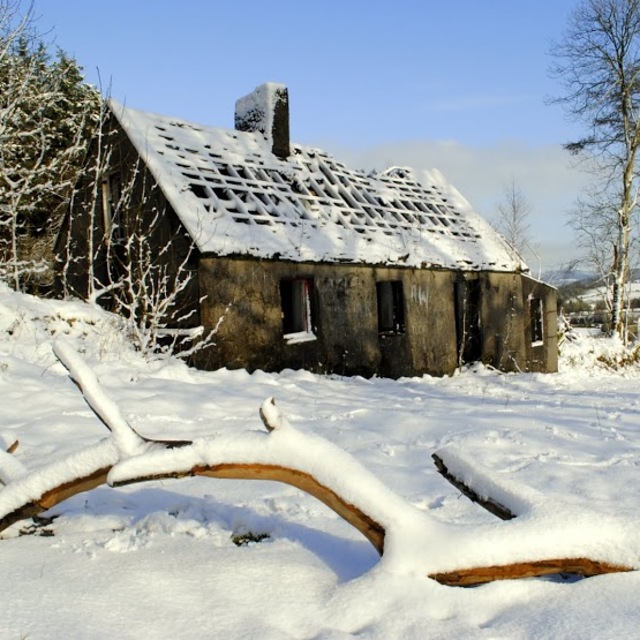
At the height of the Celtic Tiger many people started going on ski holidays to the big resorts in mainland Europe.This combined with the arrival of German supermarket chains Lidl and Aldi who brought basic snowboards and ski gear at a much reduced rate led to an increase in the popularity of snowsports in Ireland. Now the Celtic Tiger era is but a distant memory and most people have had to drop the Winter Ski Holiday so much ski gear is lying redundant in Irish homes. However, don't despair, Ireland's winters have started to get colder and at times like these the mountains are beginning to gain popularity as much of this largely redundant ski gear is getting tested out on Irish mountain slopes. It is a frustrating game in Ireland waiting for snow but when it does happen Irish mountain slopes undergo a beautiful metamorphosis which is being recognised by an ever growing band of enthusiasts who thought outside the box. Proof of this has begun to emerge with the production of great ski and snowboard videos from the East Coast and South East mountain ranges combined with a massive vote of confidence by Snow-Forecast.com who have entered into the domestic Irish scene. All is looking good for the future what is needed in order for this to continue with more cold spells during the winter months.
Waterford's Mountains from Ireland writes:
At the height of the Celtic Tiger many people started going on ski holidays to the big resorts in mainland Europe.This combined with the arrival of German supermarket chains Lidl and Aldi who brought basic snowboards and ski gear at a much reduced rate led to an increase in the popularity of snowsports in Ireland. Now the Celtic Tiger era is but a distant memory and most people have had to drop the Winter Ski Holiday so much ski gear is lying redundant in Irish homes. However, don't despair, Ireland's winters have started to get colder and at times like these the mountains are beginning to gain popularity as much of this largely redundant ski gear is getting tested out on Irish mountain slopes. It is a frustrating game in Ireland waiting for snow but when it does happen Irish mountain slopes undergo a beautiful metamorphosis which is being recognised by an ever growing band of enthusiasts who thought outside the box. Proof of this has begun to emerge with the production of great ski and snowboard videos from the East Coast and South East mountain ranges combined with a massive vote of confidence by Snow-Forecast.com who have entered into the domestic Irish scene. All is looking good for the future what is needed in order for this to continue with more cold spells during the winter months.
Read 1 more reviews of Knockanaffrin (Comeragh Mts) or submit your own

 Nearest