The above table gives the weather forecast for Klosters at the specific elevation of 1739 m. Our sophisticated weather models allow us to provide snow forecasts for the top, middle and bottom ski stations of Klosters. To access the weather forecasts for the other elevations, use the tab navigation above the table. For a wider view of the weather, check out the Weather Map of Switzerland.
Click here to read further information on freezing levels and how we forecast our temperatures.
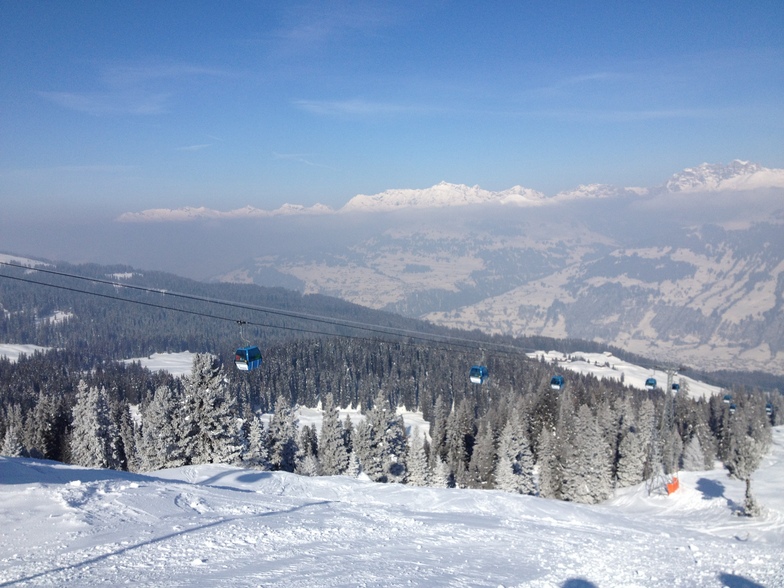
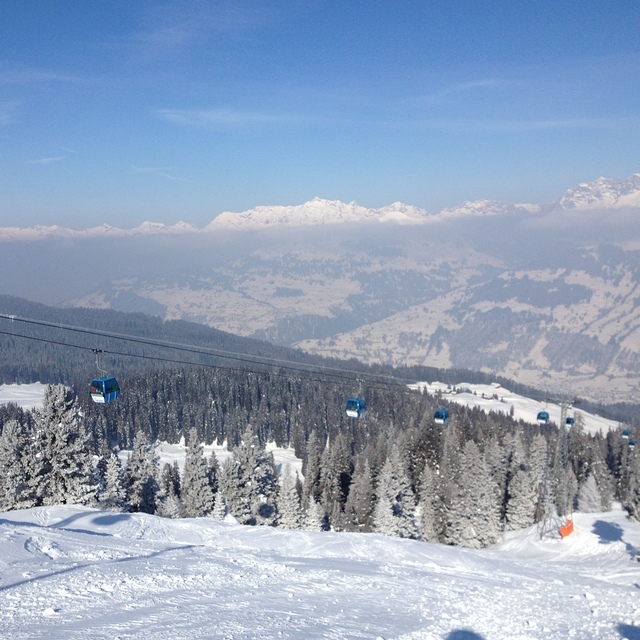
Klosters is a brilliant resort. The skiing is great and the crowds are only present for short times, mainly for Christmas and New Year. Madrisa is a secret gem. The skiing is varied and caters for beginners to advanced. The off-piste skiing is to be looked for. The restaurants on the mountain have improved greatly in years. The views while you eat are spectacular. The run down can be fast and a challenge for the 8 kms. Stop at the bar at the bottom and after a drink ride back up again on the Madrisa Bahn.
It is quiet in the evenings, although there are some excellent places to eat. If you like fresh milk you can buy this from a number of the farmers, along with Alp cheese and fresh eggs. All adds to the Swiss mountain village experience.
Great place for a family holiday. We have been going for 33 years and will have our grandchildren join us this year for the first time-they need to start skiing as they can now stand.
Free Snow-Forecast.com weather widget for your website
Embed the Klosters weather widget on your site for free. It provides a weekly snapshot of snow and rain conditions across all elevations. Follow the two quick steps to grab your custom code and paste it into your site. Choose between metric or imperial units. Click here to get the code.


 Nearest