

Niseko Announce New Gondola
Niseko Village has confirmed a major lift expansion that will reshape access on the southern side of the Niseko United ski area, with a new gondola scheduled to open next winter and a second stage planned for 2027–28.

Next 4 days weather summary:Mostly dry. Very mild (max 19°C on Fri afternoon, min 3°C on Tue night). Wind will be generally light. | Days 5-7 weather summary:Moderate rain (total 11.0mm), heaviest on Mon afternoon. Warm (max 20°C on Mon morning, min 7°C on Fri night). Wind will be generally light. | |||||||||||||||
Wednesday 1 | Thursday 2 | Friday 3 | Saturday 4 | Sunday 5 | ||||||||||||
night | AM | PM | night | AM | PM | night | AM | PM | night | AM | PM | night | AM | PM | night | |
clear | clear | cloudy | some clouds | clear | cloudy | some clouds | clear | some clouds | some clouds | some clouds | cloudy | clear | some clouds | light rain | rain shwrs | |
km/h | ||||||||||||||||
Snow map |  |  |  |  |  |  | ||||||||||
— | — | — | — | — | — | — | — | — | — | — | — | — | — | — | — | |
mm | — | — | — | — | — | — | — | — | — | — | — | — | — | — | 1 | 1 |
max °C | 10 | 15 | 17 | 10 | 16 | 17 | 11 | 17 | 19 | 12 | 18 | 19 | 10 | 19 | 18 | 10 |
min °C | 3 | 11 | 17 | 5 | 12 | 17 | 6 | 13 | 19 | 7 | 15 | 19 | 8 | 16 | 17 | 8 |
chill °C | 2 | 10 | 16 | 5 | 11 | 16 | 6 | 12 | 19 | 7 | 15 | 19 | 8 | 16 | 17 | 7 |
Humid % | 24 | 18 | 12 | 22 | 15 | 13 | 19 | 18 | 11 | 22 | 17 | 11 | 40 | 19 | 24 | 58 |
Freeze m | 4100 | 4650 | 5000 | 4200 | 4750 | 5050 | 4400 | 4950 | 5250 | 4600 | 5050 | 5250 | 4500 | 5100 | 5250 | 4550 |
— | 5:39 | — | — | 5:39 | — | — | 5:39 | — | — | 5:41 | — | — | 5:41 | — | — | |
— | — | 8:35 | — | — | 8:35 | — | — | 8:35 | — | — | 8:34 | — | — | 8:34 | — | |
Go pro and carve into:
Avalanche information: Colorado Avalanche Information Center
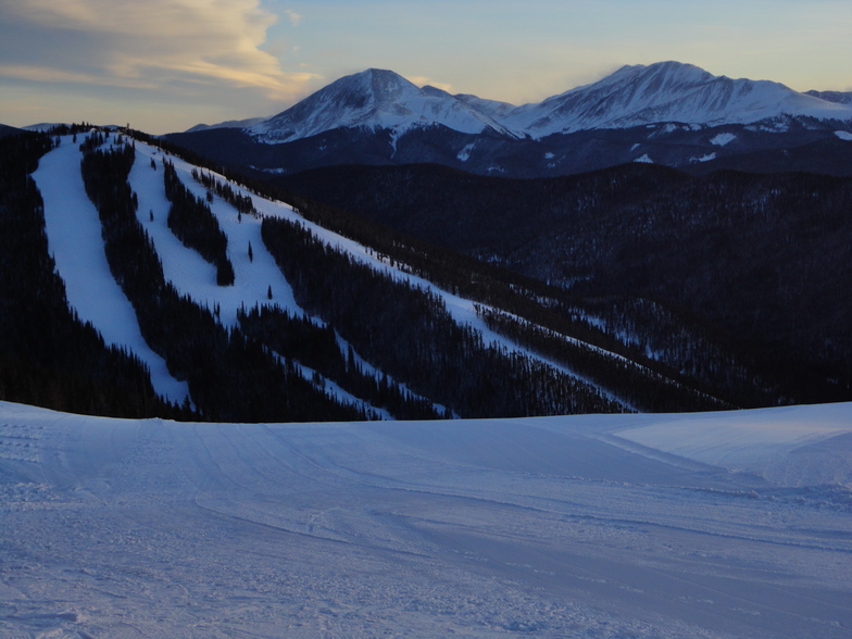
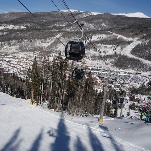
Latest snow reports near Keystone:
| Top snow depth: | 0 cm |
|---|---|
| Bottom snow depth: | 0 cm |
| Fresh snowfall depth: | — |
| Last snowfall: | 22 May 2026 |
| Snow Alerts | Create Alert |
0.0 | Bluebird Powder days Fresh snow, mostly sunny, light wind. |
|---|---|
0.0 | Powder days Fresh snow, limited sun, any wind. |
0.0 | Bluebird days Average snow, mostly sunny, light wind. |
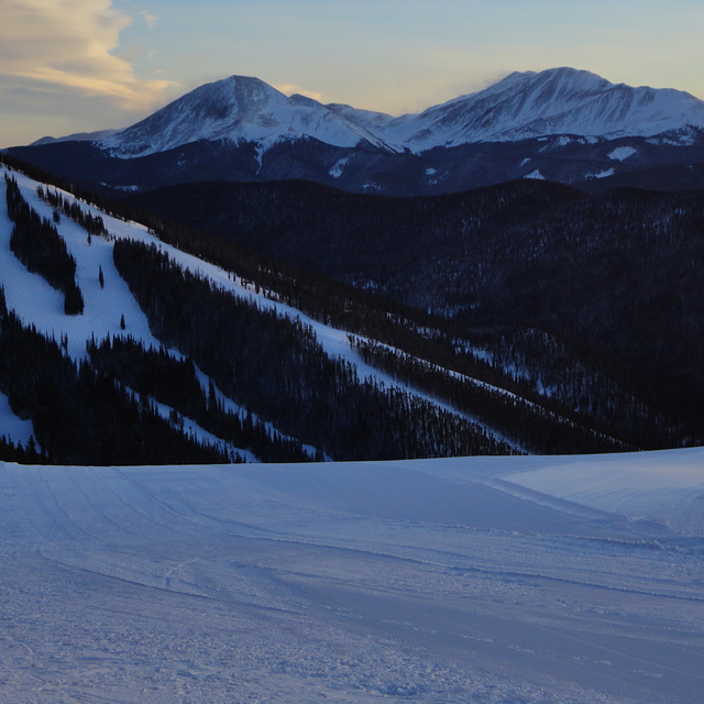
The above table gives the weather forecast for Keystone at the specific elevation of 3240 m. Our sophisticated weather models allow us to provide snow forecasts for the top, middle and bottom ski stations of Keystone. To access the weather forecasts for the other elevations, use the tab navigation above the table. For a wider view of the weather, check out the Weather Map of United States.
Click here to read further information on freezing levels and how we forecast our temperatures.
Overall 4.0 Based on 16 votes and 5 reviews
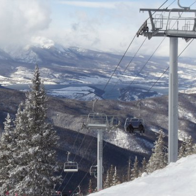
Skied Keystone Jan 2013. I found this resort to be well organised and family friendly. The snow was excellent considering lack of recent snowfall but the high altitude kept it in pristine condition. As an advanced skier I was happy with the runs on offer and loved those long green/blue runs back to the village. Good on-mountain facilities available and lift queues pretty much non existent once on the mountain. Price wise, this resort is no different from any other big resort. Looking forward to going back again during 2016.
Michael from Australia writes:
Skied Keystone Jan 2013. I found this resort to be well organised and family friendly. The snow was excellent considering lack of recent snowfall but the high altitude kept it in pristine condition. As an advanced skier I was happy with the runs on offer and loved those long green/blue runs back to the village. Good on-mountain facilities available and lift queues pretty much non existent once on the mountain. Price wise, this resort is no different from any other big resort. Looking forward to going back again during 2016.


 Nearest