

Portillo Storm Snowfall Total Passes 5m / 17 Feet
A snow storm that has now continued for nine days has taken Chilean ski resort Portillo to a snowfall total of 5.2 metres (17 feet) so far, with more snow forecast.

Next 3 days weather summary:Moderate rain (total 12.0mm), heaviest on Wed night. Very mild (max 12°C on Thu afternoon, min 9°C on Tue afternoon). Wind will be generally light. | Days 4-6 weather summary:Heavy rain (total 24.0mm), heaviest during Sat night. Very mild (max 12°C on Fri afternoon, min 6°C on Sat night). Wind will be generally light. | ||||||||||||||||
Tue 28 | Wednesday 29 | Thursday 30 | Friday 31 | Saturday 1 | Sunday 2 | ||||||||||||
PM | night | AM | PM | night | AM | PM | night | AM | PM | night | AM | PM | night | AM | PM | night | |
clear | clear | t-storm risk | t-storm risk | rain shwrs | clear | clear | clear | some clouds | cloudy | rain shwrs | some clouds | t-storm risk | rain shwrs | clear | light rain | rain shwrs | |
km/h | |||||||||||||||||
Snow map |  |  |  |  |  |  | |||||||||||
— | — | — | — | — | — | — | — | — | — | — | — | — | — | — | — | — | |
mm | — | — | 1 | 3 | 8 | — | — | — | — | — | 1 | — | 1 | 17 | — | 1 | 4 |
max °C | 10 | 11 | 10 | 10 | 9 | 10 | 12 | 12 | 12 | 12 | 11 | 10 | 11 | 9 | 10 | 11 | 10 |
min °C | 9 | 10 | 9 | 10 | 9 | 9 | 11 | 10 | 11 | 11 | 10 | 10 | 9 | 6 | 10 | 10 | 9 |
chill °C | 7 | 9 | 9 | 10 | 8 | 7 | 11 | 10 | 10 | 10 | 8 | 8 | 8 | 2 | 10 | 9 | 7 |
Humid % | 53 | 44 | 67 | 79 | 68 | 54 | 45 | 42 | 46 | 55 | 56 | 60 | 82 | 51 | 62 | 70 | 60 |
Freeze m | 4550 | 4600 | 4350 | 4450 | 4300 | 4350 | 4600 | 4600 | 4600 | 4700 | 4650 | 4500 | 4500 | 4450 | 4500 | 4550 | 4600 |
— | — | 5:41 | — | — | 5:43 | — | — | 5:45 | — | — | 5:46 | — | — | 5:47 | — | — | |
— | 8:47 | — | — | 8:46 | — | — | 8:45 | — | — | 8:44 | — | — | 8:43 | — | — | 8:40 | |
Go pro and carve into:
Avalanche information: European Avalanche Warning Services (EAWS)
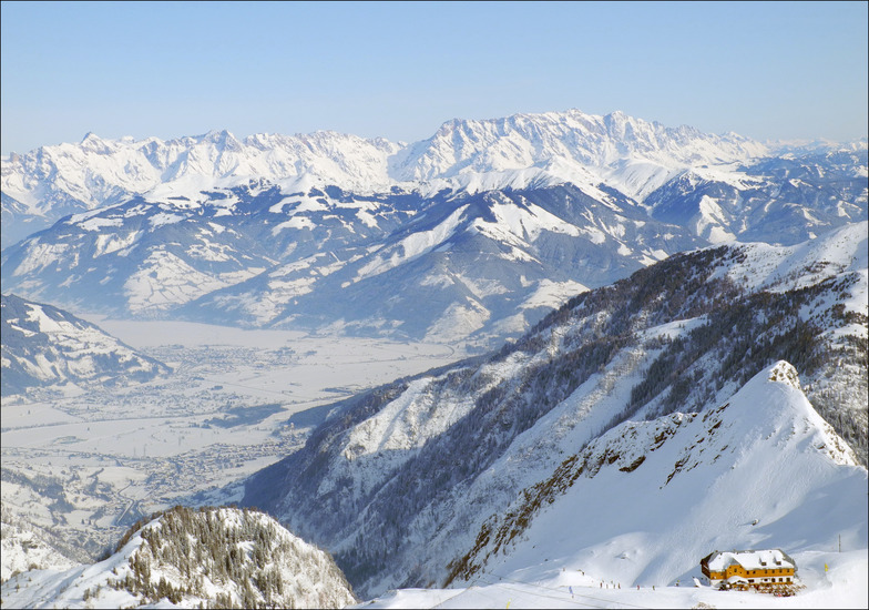
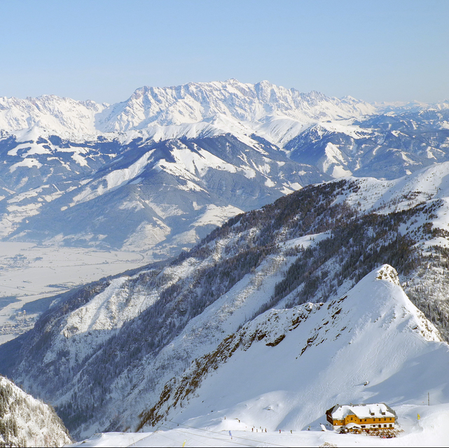
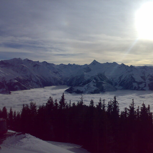
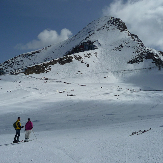
Latest snow reports near Kaprun:
| Top snow depth: | 0 cm |
|---|---|
| Bottom snow depth: | 0 cm |
| Fresh snowfall depth: | — |
| Last snowfall: | 10 Jun 2026 |
| Snow Alerts | Create Alert |
0.4 | Bluebird Powder days Fresh snow, mostly sunny, light wind. |
|---|---|
0.7 | Powder days Fresh snow, limited sun, any wind. |
0.0 | Bluebird days Average snow, mostly sunny, light wind. |
The above table gives the weather forecast for Kaprun at the specific elevation of 3029 m. Our sophisticated weather models allow us to provide snow forecasts for the top, middle and bottom ski stations of Kaprun. To access the weather forecasts for the other elevations, use the tab navigation above the table. For a wider view of the weather, check out the Weather Map of Austria.
Click here to read further information on freezing levels and how we forecast our temperatures.
Overall 4.2 Based on 28 votes and 29 reviews
We have been coming here for 4 years now and it just gets better. 2019 season here we come! So much to do, so many ski areas within 5 minutes or max 30 mins from Kaprun center if you want a change: Zell am See, Saalbach- Hinterglemm and Kaprun. This is a lovely village with great restaurants and bars plus lovely people. Zell close for nightlife if wanted (the bars in Kaprun can be pretty lively). Always snow sure with the glacier (Kitzsteinhorn). We love a day on Maiskogel and with the new gondola it's easy for non-skier and beginners (no manoeuvring off the chair lift - lol). Agree with others that it's more beginner-intermediate. But that's what I am and I ski with a replaced hip so I avoid blacks anyway as I don't want anything too challenging :)
Alison from United Kingdom writes:
We have been coming here for 4 years now and it just gets better. 2019 season here we come! So much to do, so many ski areas within 5 minutes or max 30 mins from Kaprun center if you want a change: Zell am See, Saalbach- Hinterglemm and Kaprun. This is a lovely village with great restaurants and bars plus lovely people. Zell close for nightlife if wanted (the bars in Kaprun can be pretty lively).
Always snow sure with the glacier (Kitzsteinhorn). We love a day on Maiskogel and with the new gondola it's easy for non-skier and beginners (no manoeuvring off the chair lift - lol). Agree with others that it's more beginner-intermediate. But that's what I am and I ski with a replaced hip so I avoid blacks anyway as I don't want anything too challenging :)


 Nearest