The above table gives the weather forecast for Bovec - Kanin at the specific elevation of 1720 m. Our sophisticated weather models allow us to provide snow forecasts for the top, middle and bottom ski stations of Bovec - Kanin. To access the weather forecasts for the other elevations, use the tab navigation above the table. For a wider view of the weather, check out the Weather Map of Slovenia.
Click here to read further information on freezing levels and how we forecast our temperatures.
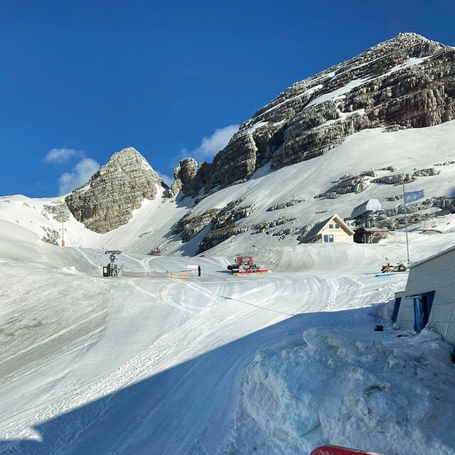
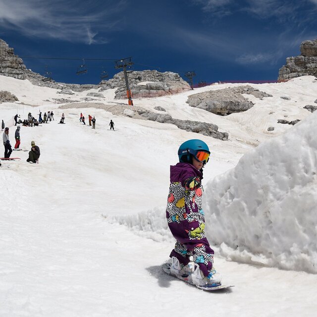
While planning a ski trip to eastern Italy and Slovenia in the 2016 season I have discovered that the lifts & pistes on the Kanin/Slovenian side of the mountain have been closed for the past couple of seasons due to a 'malfunction' of the cable car and the subsequent bankruptcy of the resort operator. And according to the Bovec tourist information office there is no official word on when they might reopen.
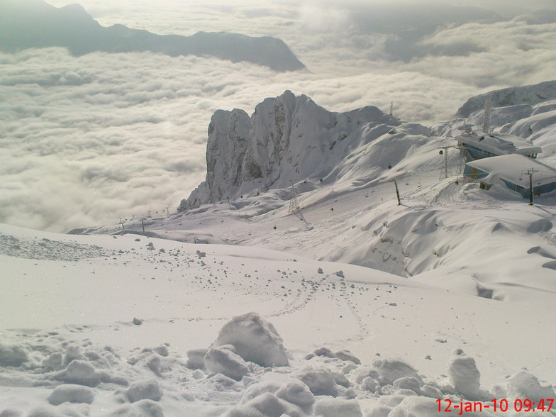
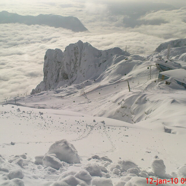
Having enjoyed visiting the Soca valley during spring a decade ago I thought it would be nice to visit again in winter, particularly as they have the highest elevation ski area in the Julian Alps. Lets hope they can get their act together soon so that we can spend some money there!
While planning a ski trip to eastern Italy and Slovenia in the 2016 season I have discovered that the lifts & pistes on the Kanin/Slovenian side of the mountain have been closed for the past couple of seasons due to a 'malfunction' of the cable car and the subsequent bankruptcy of the resort operator. And according to the Bovec tourist information office there is no official word on when they might reopen.
Having enjoyed visiting the Soca valley during spring a decade ago I thought it would be nice to visit again in winter, particularly as they have the highest elevation ski area in the Julian Alps. Lets hope they can get their act together soon so that we can spend some money there!
Free Snow-Forecast.com weather widget for your website
Embed the Bovec - Kanin weather widget on your site for free. It provides a weekly snapshot of snow and rain conditions across all elevations. Follow the two quick steps to grab your custom code and paste it into your site. Choose between metric or imperial units. Click here to get the code.


 Nearest