


Portillo Storm Snowfall Total Passes 5m / 17 Feet
A snow storm that has now continued for nine days has taken Chilean ski resort Portillo to a snowfall total of 5.2 metres (17 feet) so far, with more snow forecast.

Next 3 days weather summary:Heavy rain (total 24.0mm), heaviest during Tue afternoon. Warm (max 23°C on Tue afternoon, min 13°C on Thu night). Wind will be generally light. | Days 4-6 weather summary:Light rain (total 9.0mm), mostly falling on Sun afternoon. Warm (max 26°C on Sat afternoon, min 15°C on Fri night). Wind will be generally light. | |||||||||||||||||
Tuesday 28 | Wednesday 29 | Thursday 30 | Friday 31 | Saturday 1 | Sunday 2 | |||||||||||||
AM | PM | night | AM | PM | night | AM | PM | night | AM | PM | night | AM | PM | night | AM | PM | night | |
t-storm risk | t-storm risk | mod. rain | light rain | light rain | light rain | light rain | light rain | some clouds | some clouds | some clouds | some clouds | some clouds | some clouds | some clouds | rain shwrs | light rain | mod. rain | |
km/h | ||||||||||||||||||
Snow map |  |  |  |  |  |  | ||||||||||||
— | — | — | — | — | — | — | — | — | — | — | — | — | — | — | — | — | — | |
mm | 1 | 4 | 7 | 4 | 3 | 3 | 1 | 1 | — | — | — | — | — | — | — | 1 | 2 | 6 |
max °C | 22 | 23 | 17 | 16 | 16 | 14 | 14 | 16 | 15 | 21 | 23 | 19 | 24 | 26 | 21 | 24 | 24 | 19 |
min °C | 18 | 18 | 16 | 16 | 16 | 14 | 14 | 15 | 13 | 17 | 22 | 15 | 19 | 25 | 17 | 20 | 22 | 17 |
chill °C | 18 | 18 | 15 | 15 | 15 | 13 | 14 | 15 | 13 | 17 | 22 | 15 | 19 | 25 | 17 | 20 | 22 | 17 |
Humid % | 66 | 84 | 95 | 94 | 88 | 91 | 90 | 76 | 86 | 72 | 67 | 75 | 56 | 49 | 74 | 63 | 61 | 94 |
Freeze m | 3650 | 3750 | 3850 | 3700 | 3700 | 3600 | 3450 | 3400 | 3750 | 4050 | 4150 | 4200 | 4200 | 4100 | 3750 | 3750 | 3900 | 3900 |
5:30 | — | — | 5:31 | — | — | 5:31 | — | — | 5:33 | — | — | 5:33 | — | — | 5:35 | — | — | |
— | — | 8:21 | — | — | 8:20 | — | — | 8:19 | — | — | 8:16 | — | — | 8:15 | — | — | 8:15 | |
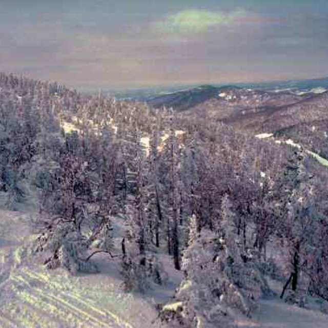
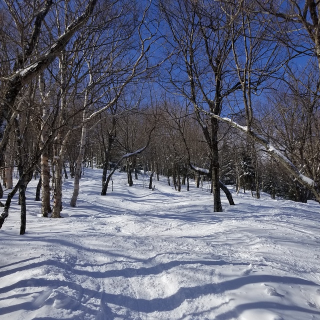
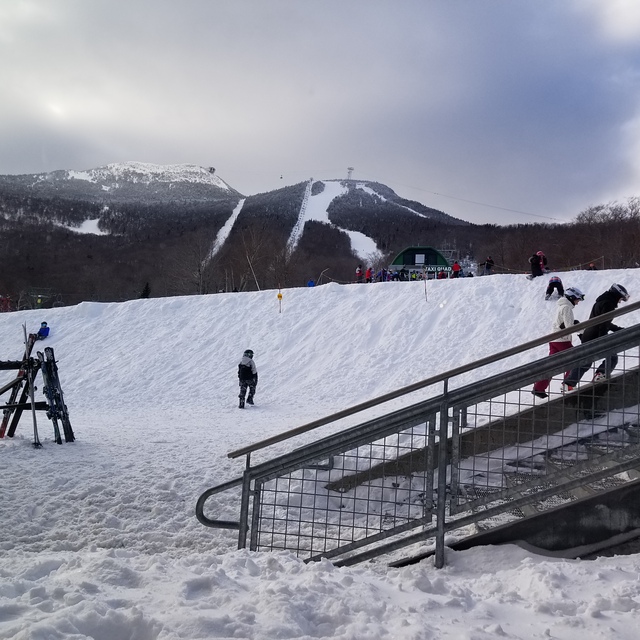
Go pro and carve into:
Avalanche information: National Avalanche Center
Latest snow reports near Jay Peak:
| Top snow depth: | — |
|---|---|
| Bottom snow depth: | — |
| Fresh snowfall depth: | — |
| Last snowfall: | 29 May 2026 |
| Snow Alerts | Create Alert |
0.0 | Bluebird Powder days Fresh snow, mostly sunny, light wind. |
|---|---|
0.0 | Powder days Fresh snow, limited sun, any wind. |
0.0 | Bluebird days Average snow, mostly sunny, light wind. |
The above table gives the weather forecast for Jay Peak at the specific elevation of 553 m. Our sophisticated weather models allow us to provide snow forecasts for the top, middle and bottom ski stations of Jay Peak. To access the weather forecasts for the other elevations, use the tab navigation above the table. For a wider view of the weather, check out the Weather Map of United States.
Click here to read further information on freezing levels and how we forecast our temperatures.
Overall 3.8 Based on 23 votes and 9 reviews
Lets face it, we're not comparing the terrain here to that of the phenomenal ski circuses found in the Austrian Alps, so getting grounded on that thought Jay Peak is one of the best to be skied venues in Eastern N.A.! You get the best chances for fresh here, combined with a reasonable consistent vertical drop and an assortment of runs ( I'd like to highlight the glades, moguls and piste pitch). It is, however, expensive to stay overnight on or off hill but does offer a great indoor waterpark for family; fyi: not pet friendly! They will fine you for it without compromise! Check out the General Store in Jay for a fabulous "Slab" sandwich and whatever else too!
Mark from Canada writes:
Lets face it, we're not comparing the terrain here to that of the phenomenal ski circuses found in the Austrian Alps, so getting grounded on that thought Jay Peak is one of the best to be skied venues in Eastern N.A.! You get the best chances for fresh here, combined with a reasonable consistent vertical drop and an assortment of runs ( I'd like to highlight the glades, moguls and piste pitch). It is, however, expensive to stay overnight on or off hill but does offer a great indoor waterpark for family; fyi: not pet friendly! They will fine you for it without compromise! Check out the General Store in Jay for a fabulous "Slab" sandwich and whatever else too!


 Nearest