

America’s Next Indoor Snow Centre Takes Shape
Construction of a new indoor snow centre for skiers, boarders and tubers appears to be making good progress at Heritage Farm in Wayne County, West Virginia.

Next 4 days weather summary:Moderate rain (total 11.0mm), heaviest on Thu afternoon. Very mild (max 10°C on Wed afternoon, min 3°C on Tue night). Wind will be generally light. | Days 5-7 weather summary:Moderate rain (total 18.0mm), heaviest on Sun afternoon. Very mild (max 16°C on Sat afternoon, min 2°C on Thu night). Wind will be generally light. | |||||||||||||||
Tuesday 21 | Wednesday 22 | Thursday 23 | Friday 24 | Saturday 25 | ||||||||||||
night | AM | PM | night | AM | PM | night | AM | PM | night | AM | PM | night | AM | PM | night | |
rain shwrs | some clouds | light rain | rain shwrs | clear | some clouds | some clouds | light rain | light rain | rain shwrs | clear | clear | some clouds | clear | clear | light rain | |
km/h | ||||||||||||||||
Snow map |  |  |  |  |  |  | ||||||||||
— | — | — | — | — | — | — | — | — | — | — | — | — | — | — | — | |
mm | 1 | — | 2 | 3 | — | — | — | 1 | 4 | 4 | — | — | — | — | — | 2 |
max °C | 8 | 8 | 8 | 5 | 7 | 10 | 8 | 6 | 6 | 4 | 7 | 10 | 9 | 12 | 16 | 13 |
min °C | 6 | 7 | 7 | 3 | 4 | 9 | 5 | 4 | 6 | 2 | 4 | 9 | 7 | 10 | 14 | 8 |
chill °C | 5 | 7 | 6 | 1 | 2 | 8 | 2 | 1 | 4 | 0 | 2 | 8 | 6 | 9 | 14 | 6 |
Humid % | 79 | 75 | 81 | 86 | 43 | 54 | 71 | 74 | 76 | 81 | 31 | 43 | 45 | 45 | 41 | 83 |
Freeze m | 3500 | 3400 | 3100 | 2700 | 3150 | 3300 | 3100 | 3000 | 2950 | 2700 | 3200 | 3450 | 3750 | 3750 | 4150 | 3750 |
— | 5:37 | — | — | 5:37 | — | — | 5:39 | — | — | 5:41 | — | — | 5:41 | — | — | |
— | — | — | 9:00 | — | — | 8:59 | — | — | 8:58 | — | — | 8:57 | — | — | 8:55 | |
Go pro and carve into:
Avalanche information: European Avalanche Warning Services (EAWS)
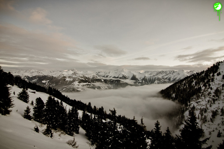
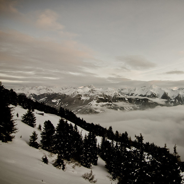
Latest snow reports near Hochzillertal-Kaltenbach:
| Top snow depth: | — |
|---|---|
| Bottom snow depth: | — |
| Fresh snowfall depth: | — |
| Last snowfall: | 10 Jun 2026 |
| Snow Alerts | Create Alert |
0.0 | Bluebird Powder days Fresh snow, mostly sunny, light wind. |
|---|---|
0.0 | Powder days Fresh snow, limited sun, any wind. |
0.0 | Bluebird days Average snow, mostly sunny, light wind. |
The above table gives the weather forecast for Hochzillertal-Kaltenbach at the specific elevation of 2218 m. Our sophisticated weather models allow us to provide snow forecasts for the top, middle and bottom ski stations of Hochzillertal-Kaltenbach. To access the weather forecasts for the other elevations, use the tab navigation above the table. For a wider view of the weather, check out the Weather Map of Austria.
Click here to read further information on freezing levels and how we forecast our temperatures.
Overall 3.9 Based on 5 votes and 4 reviews
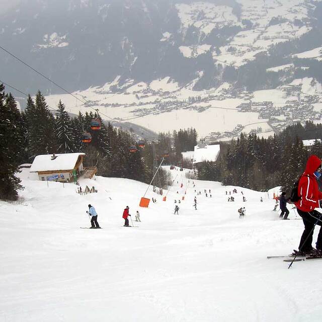
I have only skied Hochzillertal at the end of the season and have been very impressed by the fast lifts and amount of skiing above 1700 metres. Late season the gondola starts at 7.30 am. I skied dry untracked powder for 4 hours on a sunny Saturday in late April and the slopes were empty. I am surprised by other reviewers comments saying the off-piste is limited as I thought the amount available without having to trek was incredible. I am guessing that, because of it's proximity to the Inn Valley, it gets very busy after a snowfall during the main season and gets tracked out very quickly. The disadvantage with the new fat skis is that any intermediate can now make turns in powder, so the off-piste areas are much busier than a few years ago. In summary, Hochzillertal is an amazing resort to ski off-piste after a dump of snow in late season.
Mark Gunston from Austria writes:
I have only skied Hochzillertal at the end of the season and have been very impressed by the fast lifts and amount of skiing above 1700 metres. Late season the gondola starts at 7.30 am. I skied dry untracked powder for 4 hours on a sunny Saturday in late April and the slopes were empty.
I am surprised by other reviewers comments saying the off-piste is limited as I thought the amount available without having to trek was incredible. I am guessing that, because of it's proximity to the Inn Valley, it gets very busy after a snowfall during the main season and gets tracked out very quickly.
The disadvantage with the new fat skis is that any intermediate can now make turns in powder, so the off-piste areas are much busier than a few years ago.
In summary, Hochzillertal is an amazing resort to ski off-piste after a dump of snow in late season.
Read 3 more reviews of Hochzillertal-Kaltenbach or submit your own


 Nearest