My wife and I visited Gerlos from the 26.12.2009 to 02.01.2010. We had never been there before and had never skied in any of the other resorts in the Zillertal. Our previous experience of Austrian skiing has been in the Arlberg, mainly St Anton, so this is what we naturally found ourselves comparing it to.
We were pleasantly surprised by what we found in Gerlos and the Zillertal Arena and I will try and sum up our experience by listing the positives and negatives. To give it some context, we are in our early thirties and are advanced skiers.
Firstly, the positives:
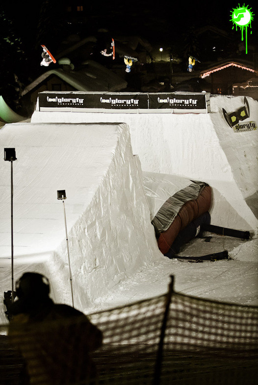
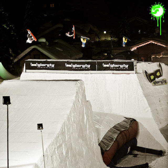
+ Gerlos sits at the centre of the largest linked ski area in the Zillertal. From Gerlos, you can access about 150km of pistes in Gerlos, Zell and Koenigsleiten. This would satisfy most skiers for a week, although I did find myself wanting new challenges by day 5 or 6.
+ There is a mixed terrain, with plenty of reds for the intermediate skier to enjoy.
+ Gerlos is at relatively high altitude by Austrian standards (1250m) so the snow is pretty much assured and you can ski back to the town, so no downloading is necessary at the end of the day.
+ There are many restaurants and bars on the mountains and because of that they never get too busy. Only on the very cold days when everyone wants to sit indoors were there any problems finding a seat.
+ Prices in the restaurants and bars, on the mountain and off it, were very reasonable. A large beer will cost just 3.50 Euro, which compared to the 5 or 6 Euro for the same in St Anton is a huge difference. A wurst and bread is about 3 or 4 Euros, so eating and drinking is quite cheap.
+ A free ski bus runs through the town and others go beyond it, so no matter where you are staying there is a stop near you that the bus will pick you up from and take you to the Isskoegelbahn at the start of the day. They will also take you home at the end of the day as they run until 5.30pm.
+ Gerlos is easily accessible by public transport. From the main Ziller valley, which is serviced by train from Innsbruck, you can get a bus up the Gerlos valley for about 4.50 Euros per person. A taxi will be about 50 Euro from Zell am Ziller.
+ Gerlos seems very child friendly, with many kinder ski school and nice little events for them at the end of the day, with the ski instructors taking on the role of the Butlins yellow coats!
+ There is plenty of accommodation in the town, from expensive 4- and 5-star hotels, so guesthouses and B&B’s. There is something to suit most budgets here.
+ The town is very attractive. The new buildings have been built in the traditional style and mix very well with the original buildings. It feels charming and very clean and tidy.
+ The locals are very gracious and friendly. Make sure you practice your German language before you go, though, as they don’t speak much English (which I think is a good thing)
Now for the negatives:
- There is only one lift from the Gerlos valley up to the ski area (the Isskoegelbahn), so queues are large at the start of the day, especially at ski school time. We had to queue for over 20-minutes on one day, which is pretty poor.
- Lifts on the Gerlos side of the Zillertal Arena are quite slow. This means that they cannot transport the amount of people wishing to use them and there are often longish queues on the middle and upper lifts. The lifts on the Zell side are much better, though.
- There is a lack of advanced terrain, with only one or two black runs.
- There are no evening buses as the shuttle service stops after 5.30pm, so if you stay in town for a drink and a bit of food after the last run of the day, you could find yourself with a long walk in ski boots, carrying skis and poles. Not good.
- There is only one run back into Gerlos, so it becomes crowded at the end of the day.
- The only bars were either swanky hotel bars or very rowdy music bars. There was only one place we found (the Milchbar) that was a happy medium, but even then I didn’t feel that my ski boots were particularly welcome footwear.
- There is a complete lack of Austrian après ski (see below) and Austrian atmosphere.
- The town is almost exclusively Dutch. This is no bad thing as the Dutch are lovely people, but 95% of the visitors are from Holland. This means that the culture is very Dutch-centric. For example, the most lively après ski bar, Cin-Cin, has Dutch bar staff, a Dutch DJ who MC’s in Dutch and only plays music popular in Holland (techno). It also has Dutch memorabilia all over the walls. This leaves the non-Dutch amongst us feeling very much like an outsider! This was the same at other après ski bars such as Little London and Luigi’s Turbo Bar. This is much less inclusive than I have experienced in more nationally mixed towns. The heavy Dutch presence also meant that, at times, the town took on the guise of a Dutch holiday camp that could be a little insensitive to the other visitors. For example, after 7pm the restaurants often became busy with groups of drunken Dutch people (from Cin Cin!) who would then proceed to get rowdy and shout across the restaurant to other groups of Dutch people, singing songs and presumably playing on friendly local rivalries. It was pretty harmless, but it still didn’t make it very comfortable for the couples or families who had gone for a quiet and enjoyable meal. If I had to sum it up, I would say the Dutch in Gerlos are aware of their vast majority and conduct themselves with a bit of an arrogant swagger.
- The main road runs through the centre of town. Many of the Dutch and German visitors would not use the free bus service, but would prefer to load up their cars at their hotel and then drive the 800m up to the free car park at Isskoegelbahn and get ready there. This resulted in the town centre becoming a bit gridlocked in the morning and at last lift. Why they didn’t just jump on they free ski bus is beyond me.
In conclusion, I would go back to Gerlos as it has good skiing and is good value, but I think I would go in low season and outside of Dutch national holidays!


 Nearest