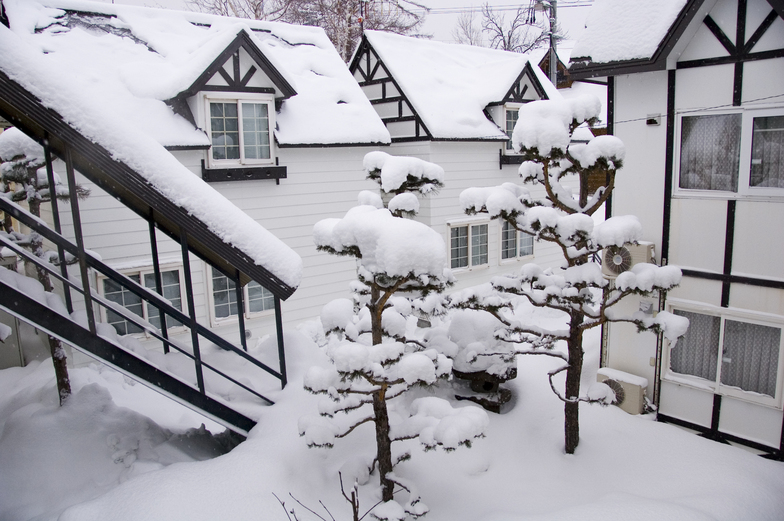
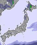
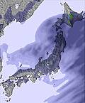
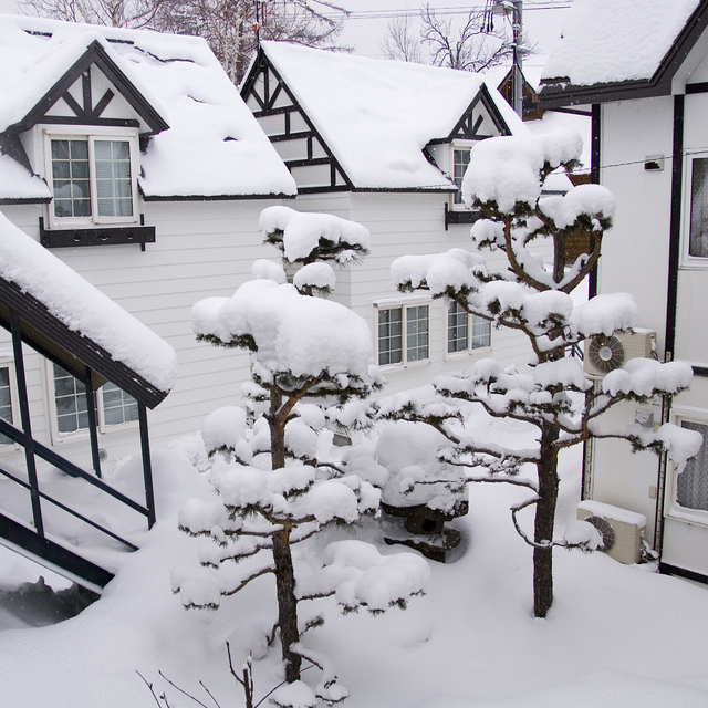
The above table gives the weather forecast for Furano at the specific elevation of 727 m. Our sophisticated weather models allow us to provide snow forecasts for the top, middle and bottom ski stations of Furano. To access the weather forecasts for the other elevations, use the tab navigation above the table. For a wider view of the weather, check out the Weather Map of Japan.
Click here to read further information on freezing levels and how we forecast our temperatures.
The last 2 reviews are somewhat typical of the entitled western rider.
Is progress changing the ski resort, sure and it needed to, before the whole place went the way of numerous other ski resorts in Hokkaido and Japan, which go under because of lack of tourism.
Simply put, resorts require money to operate and have a vibrant ski/board community with the related services, ski hires and instructors, guides etc.
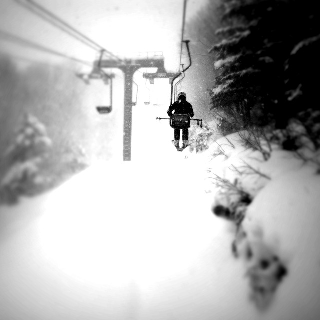
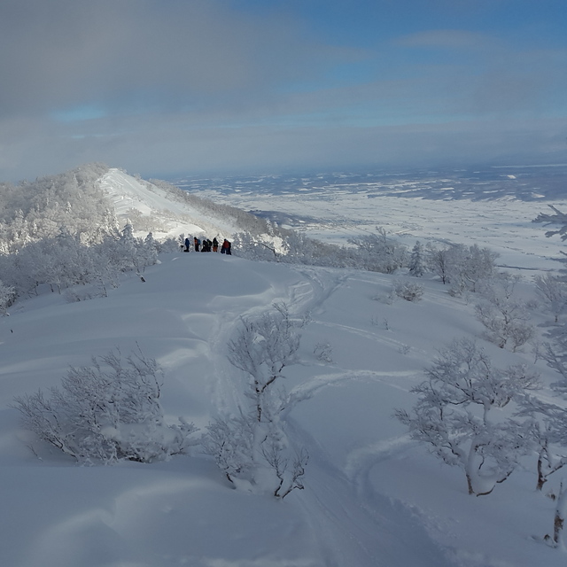
As someone who has lived here for 15 years and skied here for over 17 in Furano and 25 in Hokkaido, I am here to tell you, the place still rocks, the side country is epic and it is still not smashed as quickly as the whole of Niseko is on Pow days.
Steeper lines and a cable car moving more people more quickly than anywhere in Japan
The resort management team is living in the past and it is time they realized what is needed to survive in the modern ski world!
Back country everywhere and a host of other resorts and backcountry destinations are a short drive away.
You can’t beat Furano!
The last 2 reviews are somewhat typical of the entitled western rider.
Is progress changing the ski resort, sure and it needed to, before the whole place went the way of numerous other ski resorts in Hokkaido and Japan, which go under because of lack of tourism.
Simply put, resorts require money to operate and have a vibrant ski/board community with the related services, ski hires and instructors, guides etc.
As someone who has lived here for 15 years and skied here for over 17 in Furano and 25 in Hokkaido, I am here to tell you, the place still rocks, the side country is epic and it is still not smashed as quickly as the whole of Niseko is on Pow days.
Steeper lines and a cable car moving more people more quickly than anywhere in Japan
The resort management team is living in the past and it is time they realized what is needed to survive in the modern ski world!
Back country everywhere and a host of other resorts and backcountry destinations are a short drive away.
You can’t beat Furano!
Free Snow-Forecast.com weather widget for your website
Embed the Furano weather widget on your site for free. It provides a weekly snapshot of snow and rain conditions across all elevations. Follow the two quick steps to grab your custom code and paste it into your site. Choose between metric or imperial units. Click here to get the code.


 Nearest