The above table gives the weather forecast for Fügen/Spieljoch at the specific elevation of 2050 m. Our sophisticated weather models allow us to provide snow forecasts for the top, middle and bottom ski stations of Fügen/Spieljoch. To access the weather forecasts for the other elevations, use the tab navigation above the table. For a wider view of the weather, check out the Weather Map of Austria.
Click here to read further information on freezing levels and how we forecast our temperatures.
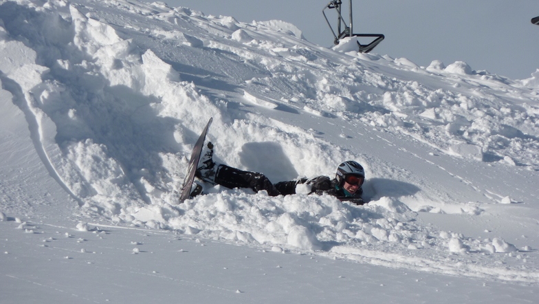
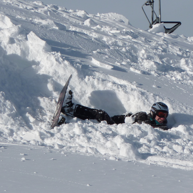
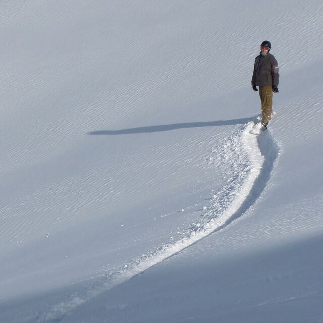
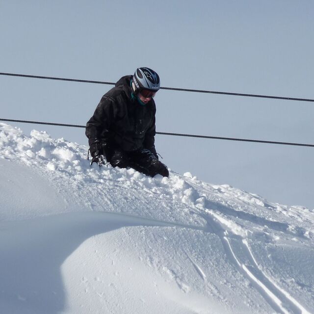
Great place with good variety. Not too busy. The Spieljoch gondola takes you up to the top where you can stay all day, or do the longest valley return run in the Zillertal (a 7km red) which takes you all the way back to the village. Restaurant at the gondola middle station in recommended.
The gondola base station is beside the ski bus stop (every 15 minutes for the trip to Hochfugen) which is a bigger area, with a link to Kaltenbach, next door. Good nursery areas, numerous reds and several blacks.
Ski-pass covers the whole valley, so like wilco says, you can try out Zell, Mayrhofen, Hintertux (glacier open all year) for something different.
We are going back.
Free Snow-Forecast.com weather widget for your website
Embed the Fügen/Spieljoch weather widget on your site for free. It provides a weekly snapshot of snow and rain conditions across all elevations. Follow the two quick steps to grab your custom code and paste it into your site. Choose between metric or imperial units. Click here to get the code.


 Nearest