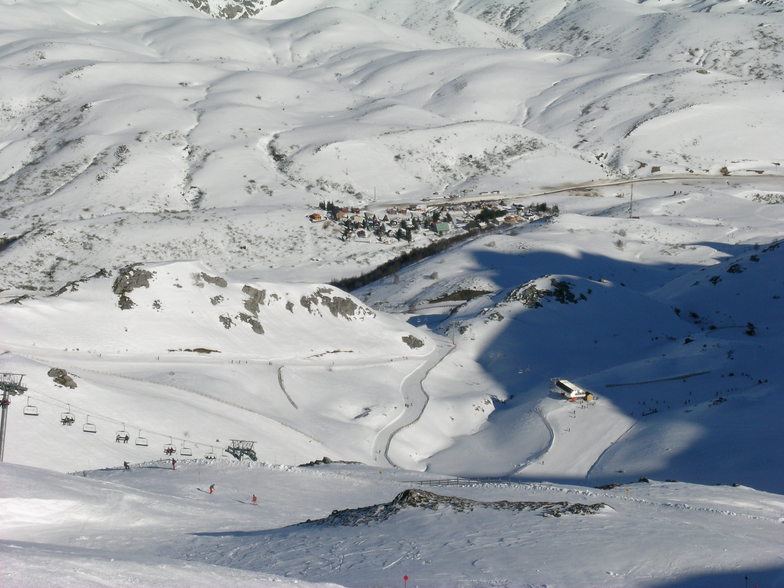


Portillo Re-Opens To Guests Arriving By Helicopter
Chile’s famous Portillo ski resort is reported to have re-opened to guests arriving by helicopter after being cut off by road for more than two weeks by over 6m/20 feet of snowfall.

Next 3 days weather summary:Light rain (total 4.0mm), mostly falling on Mon night. Very mild (max 16°C on Mon afternoon, min 9°C on Thu morning). Wind will be generally light. | Days 4-6 weather summary:Mostly dry. Very mild (max 19°C on Sat afternoon, min 11°C on Thu night). Wind will be generally light. | ||||||||||||||||
Mon 3 | Tuesday 4 | Wednesday 5 | Thursday 6 | Friday 7 | Saturday 8 | ||||||||||||
PM | night | AM | PM | night | AM | PM | night | AM | PM | night | AM | PM | night | AM | PM | night | |
t-storm risk | rain shwrs | clear | some clouds | some clouds | some clouds | some clouds | rain shwrs | some clouds | clear | clear | clear | clear | clear | clear | some clouds | some clouds | |
km/h | |||||||||||||||||
Snow map |  |  |  |  |  |  | |||||||||||
— | — | — | — | — | — | — | — | — | — | — | — | — | — | — | — | — | |
mm | 1 | 2 | — | — | — | — | — | 1 | — | — | — | — | — | — | — | — | — |
max °C | 16 | 14 | 13 | 15 | 12 | 12 | 14 | 11 | 10 | 13 | 12 | 15 | 18 | 16 | 17 | 19 | 16 |
min °C | 15 | 12 | 12 | 15 | 11 | 11 | 13 | 10 | 9 | 12 | 11 | 14 | 17 | 15 | 16 | 18 | 16 |
chill °C | 15 | 12 | 11 | 15 | 11 | 11 | 13 | 10 | 8 | 12 | 11 | 14 | 17 | 15 | 16 | 18 | 16 |
Humid % | 65 | 77 | 62 | 67 | 79 | 74 | 79 | 92 | 83 | 71 | 78 | 53 | 50 | 45 | 48 | 46 | 46 |
Freeze m | 4150 | 4100 | 4300 | 4400 | 4500 | 4400 | 4300 | 4250 | 4250 | 4200 | 4300 | 4350 | 4500 | 4500 | 4300 | 4500 | 4400 |
— | — | 7:13 | — | — | 7:15 | — | — | 7:16 | — | — | 7:16 | — | — | 7:18 | — | — | |
— | 9:40 | — | — | 9:39 | — | — | 9:37 | — | — | 9:37 | — | — | 9:36 | — | — | 9:34 | |
Go pro and carve into:
Avalanche information: European Avalanche Warning Services (EAWS)
Latest snow reports near Fuentes de Invierno:
| Top snow depth: | 0 cm |
|---|---|
| Bottom snow depth: | 0 cm |
| Fresh snowfall depth: | — |
| Last snowfall: | 15 May 2026 |
| Snow Alerts | Create Alert |
0.0 | Bluebird Powder days Fresh snow, mostly sunny, light wind. |
|---|---|
0.0 | Powder days Fresh snow, limited sun, any wind. |
0.0 | Bluebird days Average snow, mostly sunny, light wind. |


The above table gives the weather forecast for Fuentes de Invierno at the specific elevation of 1951 m. Our sophisticated weather models allow us to provide snow forecasts for the top, middle and bottom ski stations of Fuentes de Invierno. To access the weather forecasts for the other elevations, use the tab navigation above the table. For a wider view of the weather, check out the Weather Map of Spain.
Click here to read further information on freezing levels and how we forecast our temperatures.
Overall 3.2 Based on 33 votes and 3 reviews
Fuentes es con mucho la estación mas alpina del norte de España y las pocas pistas que tiene lo suple con el mejor fuera pista controlado imaginable. Siempre Fuentes
snowmieres from Spain writes:
Fuentes es con mucho la estación mas alpina del norte de España y las pocas pistas que tiene lo suple con el mejor fuera pista controlado imaginable. Siempre Fuentes
Read 2 more reviews of Fuentes de Invierno or submit your own


 Nearest