The above table gives the weather forecast for Font Romeu at the specific elevation of 1964 m. Our sophisticated weather models allow us to provide snow forecasts for the top, middle and bottom ski stations of Font Romeu. To access the weather forecasts for the other elevations, use the tab navigation above the table. For a wider view of the weather, check out the Weather Map of France.
Click here to read further information on freezing levels and how we forecast our temperatures.
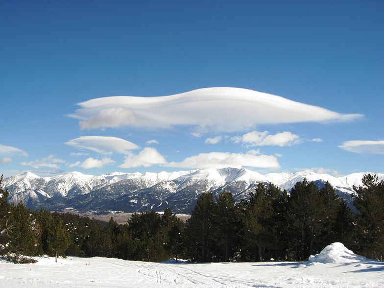
This is a reasonable resort for a weekend. The pistes are wide and we found them to be well groomed. They are slightly over graded - the blacks would only be red in most resorts - but of a good length. This is the only resort I've ever skied where you can ski from the top of the resort to the bottom on a green piste!
If you are a good skier you can ski all the runs in one day which may not make it a good choice for a long trip but good fun for a weekend.
The main negative of the resort is the food. Whether it be on the piste (the worst croque monsieur ever), at the start of the lifts or even down in Font Romeu itself. Do not expect service with a smile, in fact at times do not even expect service!
On the whole, pop in if you are in the area.
Free Snow-Forecast.com weather widget for your website
Embed the Font Romeu weather widget on your site for free. It provides a weekly snapshot of snow and rain conditions across all elevations. Follow the two quick steps to grab your custom code and paste it into your site. Choose between metric or imperial units. Click here to get the code.


 Nearest