Moderate rain (total 17.0mm), heaviest on Tue morning. Very mild (max 17°C on Mon afternoon, min 13°C on Sun night). Wind will be generally light.
Days 4-6 weather summary:
Heavy rain (total 29.0mm), heaviest during Thu afternoon. Very mild (max 18°C on Wed afternoon, min 9°C on Thu afternoon). Wind will be generally light.
The above table gives the weather forecast for Flumserberg at the specific elevation of 2222 m. Our sophisticated weather models allow us to provide snow forecasts for the top, middle and bottom ski stations of Flumserberg. To access the weather forecasts for the other elevations, use the tab navigation above the table. For a wider view of the weather, check out the Weather Map of Switzerland.
Click here to read further information on freezing levels and how we forecast our temperatures.
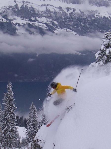
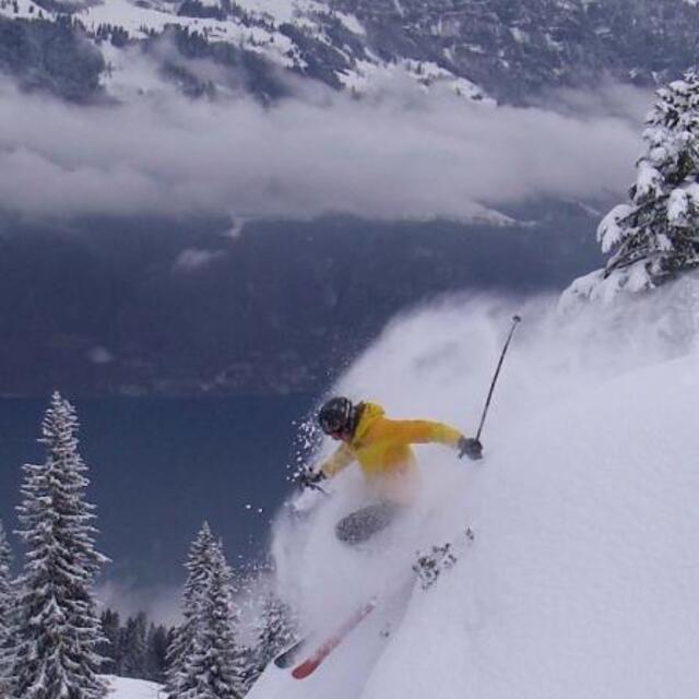
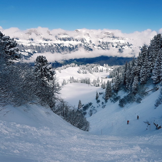
This is a good resort to visit as a day visitor from Zurich or elsewhere . The lifts are good and the slopes are great for intermediates. I wouldn't recommend staying in Flumserberg as it is not your normal atmospheric Swiss village but it is highly recommended for a day visit. This is very much a resort used by locals but you will have no problems getting around as a foreigner. Flumserberg also tends to have better snow than the surrounding resorts so I end up going there often over weekends.
In the afternoons the schools bring the kids up for ski lessons so it can become pretty crowded on the lower slopes; so go early if you don't like ski snakes. As one of the earlier reviewers said, the Swiss like to eat at 1200 sharp so if you go to any of the restaurants at 1400 you have no problem getting seating and service.
Free Snow-Forecast.com weather widget for your website
Embed the Flumserberg weather widget on your site for free. It provides a weekly snapshot of snow and rain conditions across all elevations. Follow the two quick steps to grab your custom code and paste it into your site. Choose between metric or imperial units. Click here to get the code.


 Nearest