The above table gives the weather forecast for Fiss at the specific elevation of 1950 m. Our sophisticated weather models allow us to provide snow forecasts for the top, middle and bottom ski stations of Fiss. To access the weather forecasts for the other elevations, use the tab navigation above the table. For a wider view of the weather, check out the Weather Map of Austria.
Click here to read further information on freezing levels and how we forecast our temperatures.
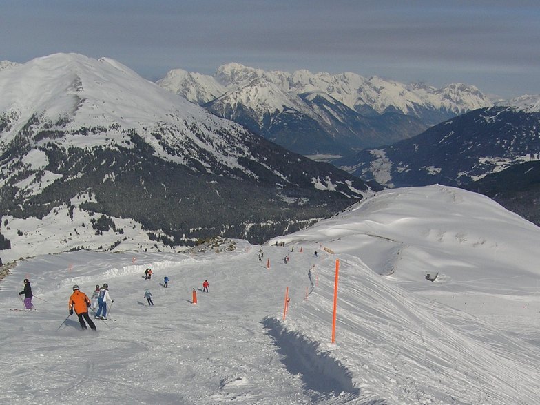
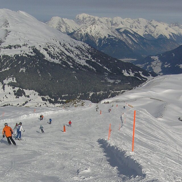
Just returned from a week in Fiss getting around every run in Serfaus-Fiss-Ladis. Great range of pistes for all the family for every level. Great steep 70% blacks, long tiring reds and some family friendly blues connecting all areas. Whole resort/domain is set up for families with children, so half term holidays in UK, NL, B, Lux and some D meant it was packed, Although it can transport 92k people/hour the lifts often had 20 minute queues. Unfortunately, the temperatures have been so high that skiing from 3pm was hard work, runs cut up and low down slush just killed it. Get the early lifts and the runs that have been groomed are great, wide open and long. Mountain restaurants are good and plenty of choice but strangely seem to all offer the same prices - high. Stayed at AlpenRoyal hotel, which was great, good food, nice pool & sauna but was an 800m walk to main lifts. Quite amazing locker system at the lift station that works incredibly well so you don't need to wear your ski boots out, although personally I'd rather be slope side with a boot/ski room at the hotel. With soooo many people there any hire equipment can take a time to get kitted out. The whole resort(s) are primarily BeNeLux & German although language never actually prevented anything. Great resort(s), wonderful domain, ideal for families, limited town restaurants, but if you can avoid school holidays and go in the colder months it's a gem with 214km of pistes, plenty of off-piste but virtually zero apre-ski.
Just returned from a week in Fiss getting around every run in Serfaus-Fiss-Ladis. Great range of pistes for all the family for every level. Great steep 70% blacks, long tiring reds and some family friendly blues connecting all areas. Whole resort/domain is set up for families with children, so half term holidays in UK, NL, B, Lux and some D meant it was packed, Although it can transport 92k people/hour the lifts often had 20 minute queues. Unfortunately, the temperatures have been so high that skiing from 3pm was hard work, runs cut up and low down slush just killed it. Get the early lifts and the runs that have been groomed are great, wide open and long. Mountain restaurants are good and plenty of choice but strangely seem to all offer the same prices - high. Stayed at AlpenRoyal hotel, which was great, good food, nice pool & sauna but was an 800m walk to main lifts. Quite amazing locker system at the lift station that works incredibly well so you don't need to wear your ski boots out, although personally I'd rather be slope side with a boot/ski room at the hotel. With soooo many people there any hire equipment can take a time to get kitted out. The whole resort(s) are primarily BeNeLux & German although language never actually prevented anything. Great resort(s), wonderful domain, ideal for families, limited town restaurants, but if you can avoid school holidays and go in the colder months it's a gem with 214km of pistes, plenty of off-piste but virtually zero apre-ski.
Free Snow-Forecast.com weather widget for your website
Embed the Fiss weather widget on your site for free. It provides a weekly snapshot of snow and rain conditions across all elevations. Follow the two quick steps to grab your custom code and paste it into your site. Choose between metric or imperial units. Click here to get the code.


 Nearest