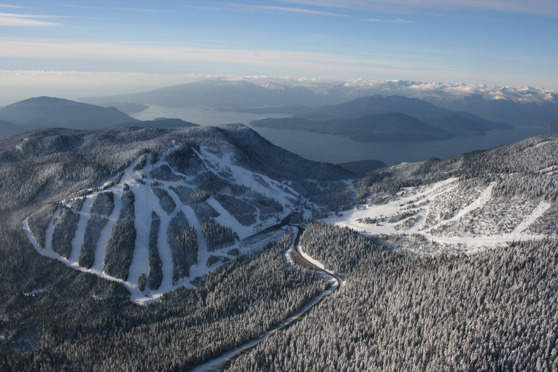
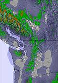
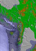
The above table gives the weather forecast for Cypress Mountain at the specific elevation of 826 m. Our sophisticated weather models allow us to provide snow forecasts for the top, middle and bottom ski stations of Cypress Mountain. To access the weather forecasts for the other elevations, use the tab navigation above the table. For a wider view of the weather, check out the Weather Map of Canada.
Click here to read further information on freezing levels and how we forecast our temperatures.
Me and a group of friends, from outside BC, we had a nice vacation at Big White, BC. On our last day in BC, while in Vancouver, we tried to have a last ski session at Cypress. To our surprise, when we tried to buy lift tickets they asked for our ID to create some kind of account. It seems that you cannot ski at Cypress unless you create an account on their site. But they would not guarantee that your information will not be stolen. I guess, no more skiing at Cypress during my lifetime (I am retired, so.. ). So far, Vancouver area proved to me the most visitor unfriendly area in the whole Canada. At least where I was so far.
Me and a group of friends, from outside BC, we had a nice vacation at Big White, BC. On our last day in BC, while in Vancouver, we tried to have a last ski session at Cypress. To our surprise, when we tried to buy lift tickets they asked for our ID to create some kind of account. It seems that you cannot ski at Cypress unless you create an account on their site. But they would not guarantee that your information will not be stolen. I guess, no more skiing at Cypress during my lifetime (I am retired, so.. ). So far, Vancouver area proved to me the most visitor unfriendly area in the whole Canada. At least where I was so far.
Free Snow-Forecast.com weather widget for your website
Embed the Cypress Mountain weather widget on your site for free. It provides a weekly snapshot of snow and rain conditions across all elevations. Follow the two quick steps to grab your custom code and paste it into your site. Choose between metric or imperial units. Click here to get the code.


 Nearest