

Portillo Storm Snowfall Total Passes 5m / 17 Feet
A snow storm that has now continued for nine days has taken Chilean ski resort Portillo to a snowfall total of 5.2 metres (17 feet) so far, with more snow forecast.

Next 3 days weather summary:Moderate rain (total 14.0mm), heaviest on Fri night. Very mild (max 19°C on Thu afternoon, min 12°C on Fri night). Wind will be generally light. | Days 4-6 weather summary:Heavy rain (total 20.0mm), heaviest during Mon night. Very mild (max 16°C on Sun morning, min 11°C on Mon night). Wind will be generally light. | |||||||||||||||||
Thursday 30 | Friday 31 | Saturday 1 | Sunday 2 | Monday 3 | Tuesday 4 | |||||||||||||
AM | PM | night | AM | PM | night | AM | PM | night | AM | PM | night | AM | PM | night | AM | PM | night | |
clear | clear | some clouds | clear | t-storm risk | rain shwrs | clear | t-storm risk | rain shwrs | clear | t-storm risk | rain shwrs | light rain | t-storm risk | rain shwrs | t-storm risk | t-storm risk | rain shwrs | |
km/h | ||||||||||||||||||
Snow map |  |  |  |  |  |  | ||||||||||||
— | — | — | — | — | — | — | — | — | — | — | — | — | — | — | — | — | — | |
mm | — | — | — | — | 2 | 8 | — | 2 | 2 | — | 2 | 2 | 1 | 2 | 5 | 1 | 4 | 3 |
max °C | 17 | 19 | 17 | 19 | 19 | 15 | 15 | 16 | 14 | 16 | 16 | 15 | 13 | 16 | 13 | 14 | 15 | 13 |
min °C | 14 | 19 | 14 | 15 | 14 | 12 | 13 | 16 | 12 | 13 | 16 | 12 | 13 | 15 | 11 | 12 | 14 | 11 |
chill °C | 14 | 19 | 14 | 15 | 14 | 12 | 13 | 16 | 12 | 13 | 16 | 12 | 13 | 15 | 11 | 12 | 14 | 11 |
Humid % | 27 | 26 | 49 | 36 | 76 | 72 | 53 | 57 | 64 | 50 | 59 | 68 | 66 | 61 | 78 | 61 | 72 | 69 |
Freeze m | 4550 | 4700 | 4750 | 4650 | 4400 | 4450 | 4450 | 4550 | 4500 | 4500 | 4650 | 4500 | 4350 | 4400 | 4300 | 4300 | 4450 | 4450 |
6:07 | — | — | 6:09 | — | — | 6:09 | — | — | 6:11 | — | — | 6:11 | — | — | 6:13 | — | — | |
— | — | 9:02 | — | — | 9:01 | — | — | 9:00 | — | — | 8:59 | — | — | 8:58 | — | — | 8:55 | |
Go pro and carve into:
Avalanche information: European Avalanche Warning Services (EAWS)
Latest snow reports near Chandolin:
| Top snow depth: | 0 cm |
|---|---|
| Bottom snow depth: | 0 cm |
| Fresh snowfall depth: | — |
| Last snowfall: | 10 Jun 2026 |
| Snow Alerts | Create Alert |
0.0 | Bluebird Powder days Fresh snow, mostly sunny, light wind. |
|---|---|
0.0 | Powder days Fresh snow, limited sun, any wind. |
0.0 | Bluebird days Average snow, mostly sunny, light wind. |


The above table gives the weather forecast for Chandolin at the specific elevation of 2326 m. Our sophisticated weather models allow us to provide snow forecasts for the top, middle and bottom ski stations of Chandolin. To access the weather forecasts for the other elevations, use the tab navigation above the table. For a wider view of the weather, check out the Weather Map of Switzerland.
Click here to read further information on freezing levels and how we forecast our temperatures.
Overall 3.8 Based on 14 votes and 3 reviews
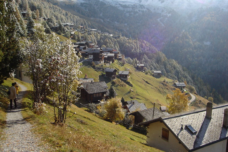
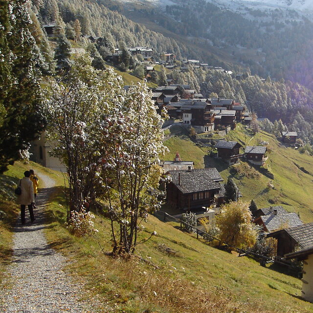
Chandolin is a sleepy backwater with a limited ski area that is totally reliant on unforgiving drag lifts, little or no English spoken and has absolutely no off-slope entertainment. In other words, it is perfect in every possible way...!
Chris from United Kingdom writes:
Chandolin is a sleepy backwater with a limited ski area that is totally reliant on unforgiving drag lifts, little or no English spoken and has absolutely no off-slope entertainment.
In other words, it is perfect in every possible way...!


 Nearest