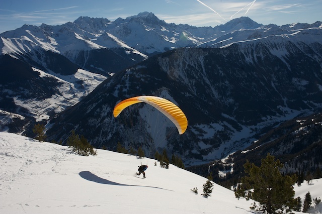


Niseko Announce New Gondola
Niseko Village has confirmed a major lift expansion that will reshape access on the southern side of the Niseko United ski area, with a new gondola scheduled to open next winter and a second stage planned for 2027–28.

Next 3 days weather summary:Moderate rain (total 14.0mm), heaviest on Wed afternoon. Very mild (max 18°C on Thu afternoon, min 6°C on Wed night). Wind will be generally light. | Days 4-6 weather summary:Mostly dry. Warm (max 20°C on Sun afternoon, min 9°C on Sat night). Wind will be generally light. | |||||||||||||||||
Wednesday 1 | Thursday 2 | Friday 3 | Saturday 4 | Sunday 5 | Monday 6 | |||||||||||||
AM | PM | night | AM | PM | night | AM | PM | night | AM | PM | night | AM | PM | night | AM | PM | night | |
t-storm risk | rain shwrs | rain shwrs | clear | clear | clear | clear | some clouds | clear | clear | clear | clear | clear | clear | clear | clear | clear | some clouds | |
km/h | ||||||||||||||||||
Snow map |  |  |  |  |  |  | ||||||||||||
— | — | — | — | — | — | — | — | — | — | — | — | — | — | — | — | — | — | |
mm | 5 | 7 | 2 | — | — | — | — | — | — | — | — | — | — | — | — | — | — | — |
max °C | 13 | 12 | 11 | 13 | 18 | 15 | 15 | 18 | 15 | 16 | 19 | 16 | 16 | 20 | 16 | 17 | 20 | 17 |
min °C | 12 | 11 | 6 | 9 | 17 | 8 | 12 | 18 | 9 | 12 | 19 | 9 | 13 | 19 | 10 | 13 | 20 | 11 |
chill °C | 12 | 9 | 5 | 8 | 17 | 8 | 12 | 18 | 9 | 12 | 19 | 9 | 13 | 19 | 10 | 13 | 20 | 11 |
Humid % | 92 | 83 | 81 | 50 | 42 | 74 | 62 | 54 | 82 | 40 | 44 | 59 | 36 | 37 | 57 | 43 | 33 | 53 |
Freeze m | 3550 | 3450 | 3400 | 4050 | 4000 | 4050 | 3900 | 4050 | 4200 | 4250 | 4150 | 4350 | 4200 | 4150 | 4050 | 4000 | 4150 | 4000 |
5:43 | — | — | 5:43 | — | — | 5:45 | — | — | 5:46 | — | — | 5:46 | — | — | 5:47 | — | — | |
— | — | 9:25 | — | — | 9:24 | — | — | 9:24 | — | — | 9:24 | — | — | 9:24 | — | — | 9:23 | |
Go pro and carve into:
Avalanche information: European Avalanche Warning Services (EAWS)
Latest snow reports near Champex-Lac:
| Top snow depth: | — |
|---|---|
| Bottom snow depth: | — |
| Fresh snowfall depth: | — |
| Last snowfall: | 10 Jun 2026 |
| Snow Alerts | Create Alert |
0.0 | Bluebird Powder days Fresh snow, mostly sunny, light wind. |
|---|---|
0.0 | Powder days Fresh snow, limited sun, any wind. |
0.0 | Bluebird days Average snow, mostly sunny, light wind. |

The above table gives the weather forecast for Champex-Lac at the specific elevation of 1702 m. Our sophisticated weather models allow us to provide snow forecasts for the top, middle and bottom ski stations of Champex-Lac. To access the weather forecasts for the other elevations, use the tab navigation above the table. For a wider view of the weather, check out the Weather Map of Switzerland.
Click here to read further information on freezing levels and how we forecast our temperatures.
Overall 3.8 Based on 3 votes and 5 reviews
The comment about finding powder well after Verbier has lost its is correct. Also, if you have access to skins you will find super areas. Yes, the lifts are slow and yes, they are old but 45 mins from Verbier you can ski fresh powder all day and have a good meal to boot at 60% of Verbier prices. However, thank goodness that most people comming to Verbier has no access to skins or 4 wheel drives.
Martin Short from United Kingdom writes:
The comment about finding powder well after Verbier has lost its is correct. Also, if you have access to skins you will find super areas. Yes, the lifts are slow and yes, they are old but 45 mins from Verbier you can ski fresh powder all day and have a good meal to boot at 60% of Verbier prices. However, thank goodness that most people comming to Verbier has no access to skins or 4 wheel drives.


 Nearest