The above table gives the weather forecast for Champéry at the specific elevation of 1040 m. Our sophisticated weather models allow us to provide snow forecasts for the top, middle and bottom ski stations of Champéry. To access the weather forecasts for the other elevations, use the tab navigation above the table. For a wider view of the weather, check out the Weather Map of Switzerland.
Click here to read further information on freezing levels and how we forecast our temperatures.
Ben Amos, bedfordshire from United Kingdom writes:
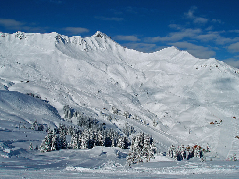
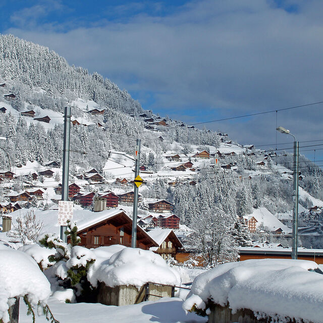
Have been to Champery over the last six years or so and have never skied such a large linked resort. You can spend most of a week there and hardly ski the same run twice. The village itself is quiet, even in high season; it feels fairly empty and you don't see many youngsters about 'till gone midnight. That said, there is plenty of places to get a few beers!
You can get two types of lift passes, Swiss side or the Porters de Soleil pass which covers the French resorts which are a little higher with the snow being better if the season is not very snowy.
All in all, if you like skiing more than nightlife this is a great place to ski, and if you get the train from Genova, like we do, it follows lake Carman then takes you up the mountains. The scenery is beautiful; no better way to start a ski break.
Ben Amos, bedfordshire from United Kingdom writes:
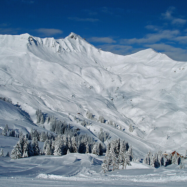
Have been to Champery over the last six years or so and have never skied such a large linked resort. You can spend most of a week there and hardly ski the same run twice. The village itself is quiet, even in high season; it feels fairly empty and you don't see many youngsters about 'till gone midnight. That said, there is plenty of places to get a few beers!
You can get two types of lift passes, Swiss side or the Porters de Soleil pass which covers the French resorts which are a little higher with the snow being better if the season is not very snowy.
All in all, if you like skiing more than nightlife this is a great place to ski, and if you get the train from Genova, like we do, it follows lake Carman then takes you up the mountains. The scenery is beautiful; no better way to start a ski break.
Free Snow-Forecast.com weather widget for your website
Embed the Champéry weather widget on your site for free. It provides a weekly snapshot of snow and rain conditions across all elevations. Follow the two quick steps to grab your custom code and paste it into your site. Choose between metric or imperial units. Click here to get the code.


 Nearest