

Banff Sunshine Village Opening for Summer Skiing
Banff Sunshine Village has confirmed it will reopen for a fortnight of summer skiing, from this weekend. The only ski area in Canada to be open into July.

Next 4 days weather summary:Light rain (total 9.0mm), mostly falling on Fri night. Warm (max 21°C on Sat afternoon, min 11°C on Fri night). Wind will be generally light. | Days 5-7 weather summary:Moderate rain (total 19.0mm), heaviest on Tue night. Warm (max 21°C on Tue morning, min 11°C on Mon night). Wind will be generally light. | |||||||||||||||
Saturday 20 | Sunday 21 | Monday 22 | Tuesday 23 | Wednesday 24 | ||||||||||||
night | AM | PM | night | AM | PM | night | AM | PM | night | AM | PM | night | AM | PM | night | |
rain shwrs | clear | some clouds | some clouds | some clouds | some clouds | some clouds | rain shwrs | rain shwrs | some clouds | some clouds | light rain | mod. rain | rain shwrs | t-storm risk | rain shwrs | |
km/h | ||||||||||||||||
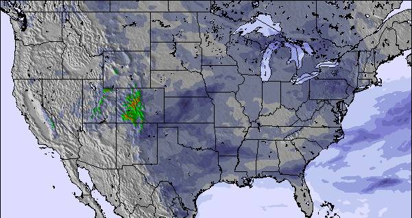
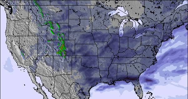
Snow map |  |  |  |  |  |  | ||||||||||
— | — | — | — | — | — | — | — | — | — | — | — | — | — | — | — | |
mm | 6 | — | — | — | — | — | — | 1 | 2 | — | — | 1 | 6 | 2 | 4 | 4 |
max °C | 13 | 20 | 21 | 13 | 20 | 21 | 14 | 20 | 20 | 15 | 21 | 21 | 16 | 20 | 19 | 15 |
min °C | 11 | 16 | 18 | 11 | 17 | 19 | 11 | 18 | 20 | 11 | 18 | 17 | 13 | 18 | 18 | 12 |
chill °C | 9 | 15 | 18 | 11 | 17 | 19 | 10 | 18 | 20 | 11 | 18 | 17 | 13 | 18 | 18 | 12 |
Humid % | 88 | 74 | 55 | 78 | 66 | 55 | 87 | 65 | 65 | 72 | 68 | 53 | 86 | 77 | 74 | 88 |
Freeze m | 2800 | 2950 | 3100 | 3250 | 3450 | 3450 | 3450 | 3250 | 3150 | 3250 | 3300 | 2950 | 3150 | 3000 | 3100 | 2950 |
— | 5:18 | — | — | 5:18 | — | — | 5:18 | — | — | 5:18 | — | — | 5:18 | — | — | |
— | — | 8:51 | — | — | 8:51 | — | — | 8:51 | — | — | 8:51 | — | — | 8:51 | — | |
Go pro and carve into:
Avalanche information: National Avalanche Center
Latest snow reports near Bruce Mound:
| Top snow depth: | — |
|---|---|
| Bottom snow depth: | — |
| Fresh snowfall depth: | — |
| Last snowfall: | 7 Apr 2026 |
| Snow Alerts | Create Alert |
0.0 | Bluebird Powder days Fresh snow, mostly sunny, light wind. |
|---|---|
0.0 | Powder days Fresh snow, limited sun, any wind. |
0.0 | Bluebird days Average snow, mostly sunny, light wind. |
The above table gives the weather forecast for Bruce Mound at the specific elevation of 305 m. Our sophisticated weather models allow us to provide snow forecasts for the top, middle and bottom ski stations of Bruce Mound. To access the weather forecasts for the other elevations, use the tab navigation above the table. For a wider view of the weather, check out the Weather Map of United States.
Click here to read further information on freezing levels and how we forecast our temperatures.
Overall 3.0 Based on 1 vote and 1 review
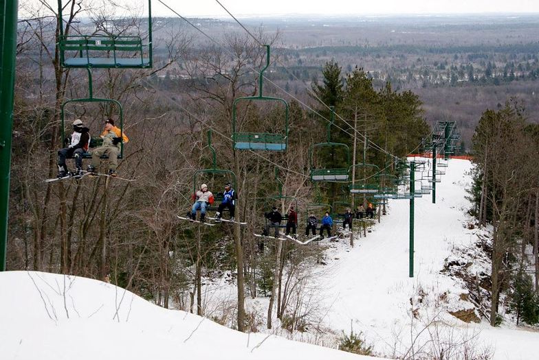
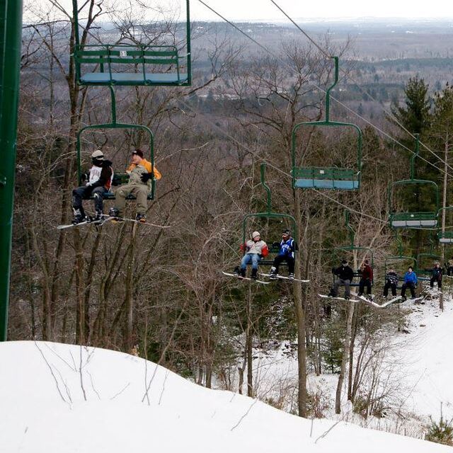
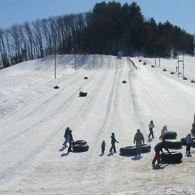
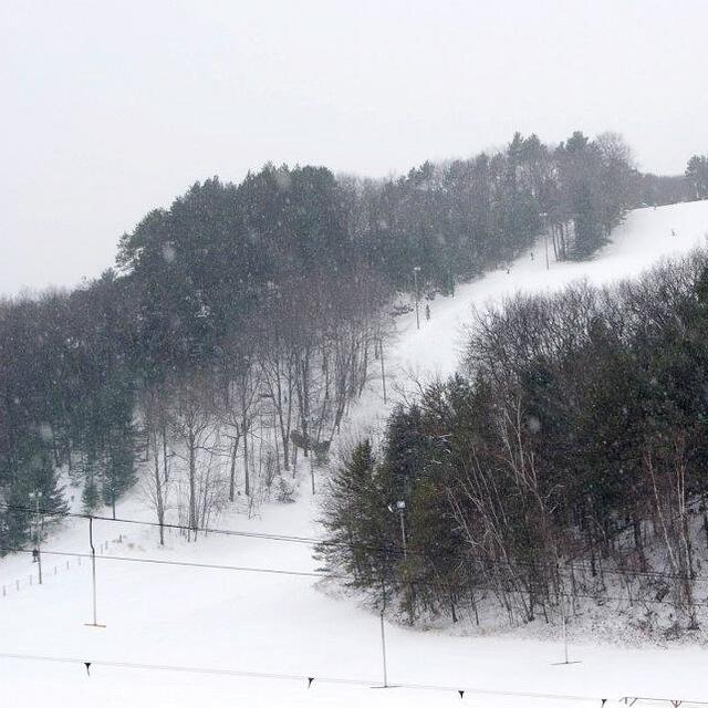
Bruce Mound is a small ski hill located in the rolling hills of West Central Wisconsin. It offers very affordable beginner to intermediate skiing in a beautiful rural setting. 1 triple chair services the main runs with a T-bar and rope tow servicing the bunny hill and snow tube runs. There's never a lack of snow with the state-of-the-art snowmaking systems; the runs are groomed daily. Fun and well-lit night skiing is also offered. The staff is very friendly. Ski patrol and a simple café is located in the newly constructed main lodge. It's a great ski hill to take the family or friends out for an affordable and pleasant experience. Highly recommended for young families on a budget.
Munson from United States writes:
Bruce Mound is a small ski hill located in the rolling hills of West Central Wisconsin. It offers very affordable beginner to intermediate skiing in a beautiful rural setting.
1 triple chair services the main runs with a T-bar and rope tow servicing the bunny hill and snow tube runs.
There's never a lack of snow with the state-of-the-art snowmaking systems; the runs are groomed daily. Fun and well-lit night skiing is also offered.
The staff is very friendly. Ski patrol and a simple café is located in the newly constructed main lodge.
It's a great ski hill to take the family or friends out for an affordable and pleasant experience. Highly recommended for young families on a budget.

 Nearest