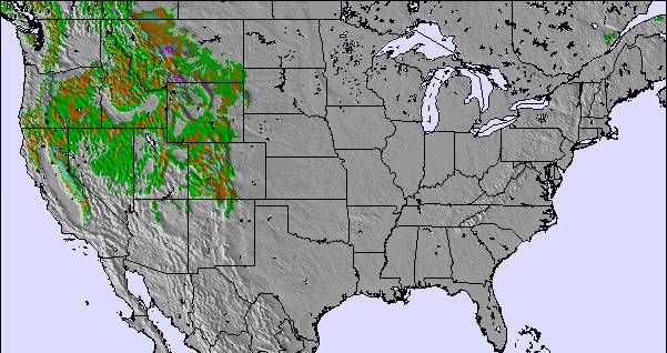
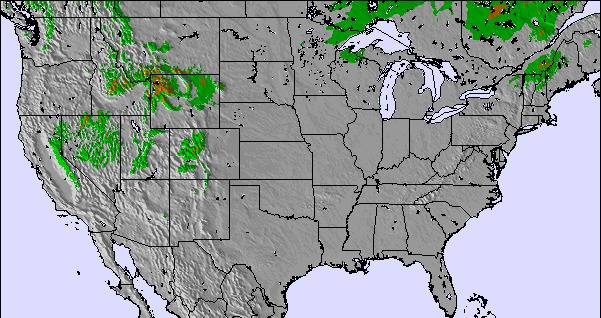
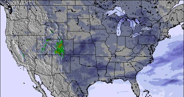
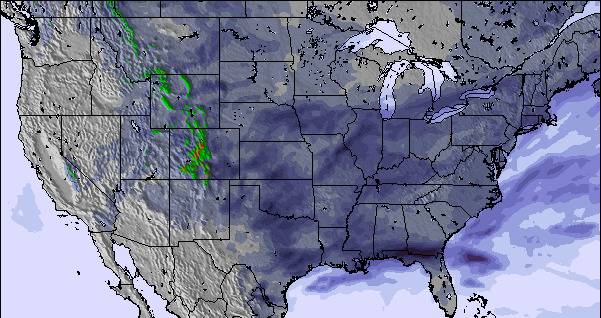
The above table gives the weather forecast for Bruce Mound at the specific elevation of 362 m. Our sophisticated weather models allow us to provide snow forecasts for the top, middle and bottom ski stations of Bruce Mound. To access the weather forecasts for the other elevations, use the tab navigation above the table. For a wider view of the weather, check out the Weather Map of United States.
Click here to read further information on freezing levels and how we forecast our temperatures.
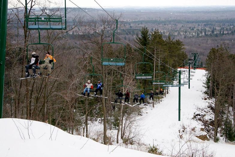
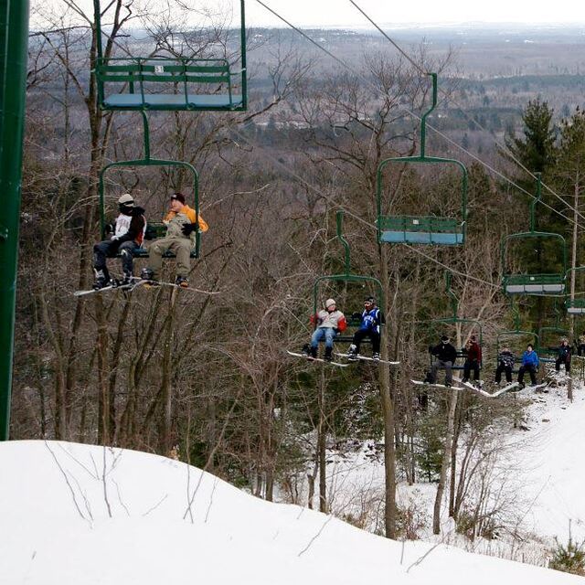
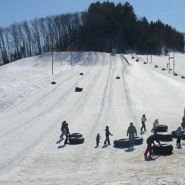
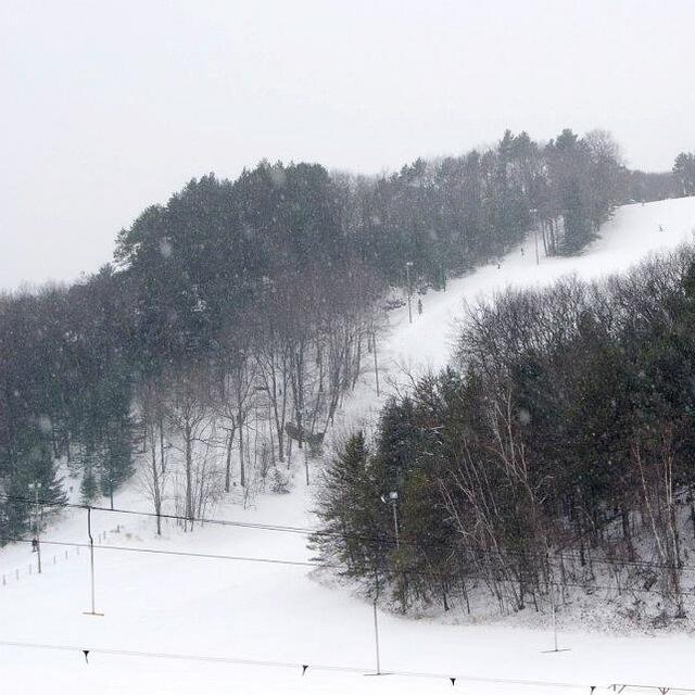
Bruce Mound is a small ski hill located in the rolling hills of West Central Wisconsin. It offers very affordable beginner to intermediate skiing in a beautiful rural setting.
1 triple chair services the main runs with a T-bar and rope tow servicing the bunny hill and snow tube runs.
There's never a lack of snow with the state-of-the-art snowmaking systems; the runs are groomed daily. Fun and well-lit night skiing is also offered.
The staff is very friendly. Ski patrol and a simple café is located in the newly constructed main lodge.
It's a great ski hill to take the family or friends out for an affordable and pleasant experience. Highly recommended for young families on a budget.
Free Snow-Forecast.com weather widget for your website
Embed the Bruce Mound weather widget on your site for free. It provides a weekly snapshot of snow and rain conditions across all elevations. Follow the two quick steps to grab your custom code and paste it into your site. Choose between metric or imperial units. Click here to get the code.


 Nearest