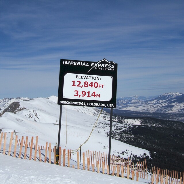
Weather Forecast for Breckenridge at3913m altitude
Issued: 5 am 30 Jun 2026 (local time)
Forecast update in hr min
View forecast
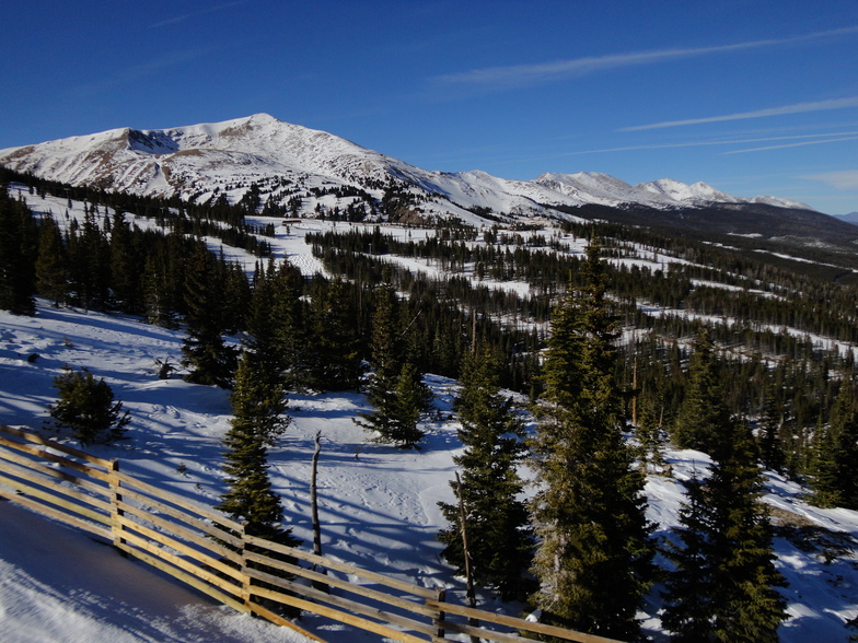
Breckenridgeat 3913 m altitude
Issued by Snow-Forecast.com at:5 am (local time) / 30 Jun 2026
Last 6 daysScroll left for last 6 daysNow
Next 3 days weather summary:
Mostly dry. Freeze-thaw conditions (max 11°C on Wed afternoon, min 0°C on Tue night). Winds decreasing (fresh winds from the SW on Tue morning, light winds from the WSW by Thu night).
Days 4-6 weather summary:
Light rain (total 2.0mm), mostly falling on Sun afternoon. Very mild (max 15°C on Sun afternoon, min 3°C on Fri night). Wind will be generally light.
The above table gives the weather forecast for Breckenridge at the specific elevation of 3913 m. Our sophisticated weather models allow us to provide snow forecasts for the top, middle and bottom ski stations of Breckenridge. To access the weather forecasts for the other elevations, use the tab navigation above the table. For a wider view of the weather, check out the Weather Map of United States.
Click here to read further information on freezing levels and how we forecast our temperatures.
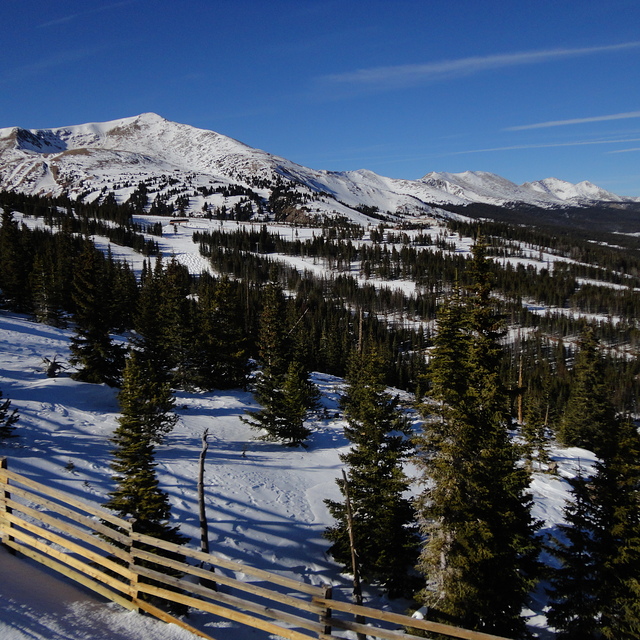
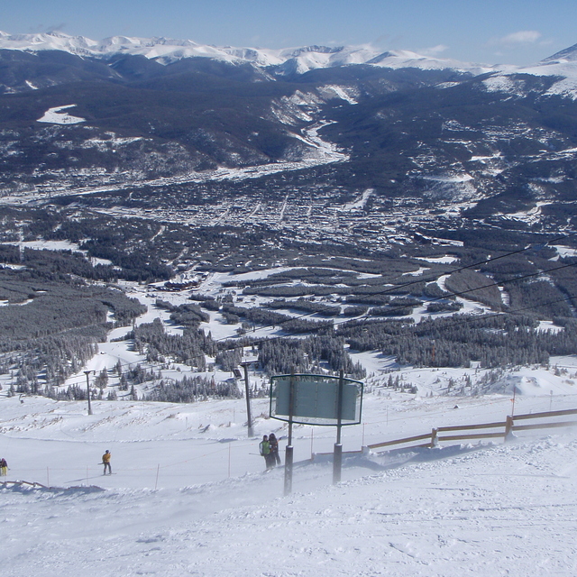
Had a work trip to Denver in early April and took the chance to ski two days in Breckenridge. It's about 1,5 hrs from Denver but more on the way back Sunday evening so take care if rushing for a plane. Lift passes are expensive compared to my favorite Pyrenees haunts and ski hire can also be expensive. Breckenridge has four mountain peaks: 7-10. Take the lift from the parking and go to peak 7 for some excellent long blues. Peak 8 is mixed blues, black diamonds and double blacks. Peak 9 has a beginners area and mixed blus/blacks. Peak 10 is advanced and the moguls can be hard on the back as they are deep. Altitude can be a problem as top lift can get to 14500 ft. Some tips: stay in nearby Frisco, it's cheaper and hire skis there and take the bus over. It can save you lots. Ski conditions are generally excellent with much soft dry snow.. but it can get cold. Breckenridge gets crowded at weekends but lots of varied skiing.
Had a work trip to Denver in early April and took the chance to ski two days in Breckenridge. It's about 1,5 hrs from Denver but more on the way back Sunday evening so take care if rushing for a plane. Lift passes are expensive compared to my favorite Pyrenees haunts and ski hire can also be expensive. Breckenridge has four mountain peaks: 7-10. Take the lift from the parking and go to peak 7 for some excellent long blues. Peak 8 is mixed blues, black diamonds and double blacks. Peak 9 has a beginners area and mixed blus/blacks. Peak 10 is advanced and the moguls can be hard on the back as they are deep. Altitude can be a problem as top lift can get to 14500 ft. Some tips: stay in nearby Frisco, it's cheaper and hire skis there and take the bus over. It can save you lots. Ski conditions are generally excellent with much soft dry snow.. but it can get cold. Breckenridge gets crowded at weekends but lots of varied skiing.
Free Snow-Forecast.com weather widget for your website
Embed the Breckenridge weather widget on your site for free. It provides a weekly snapshot of snow and rain conditions across all elevations. Follow the two quick steps to grab your custom code and paste it into your site. Choose between metric or imperial units. Click here to get the code.


 Nearest