

Portillo Re-Opens To Guests Arriving By Helicopter
Chile’s famous Portillo ski resort is reported to have re-opened to guests arriving by helicopter after being cut off by road for more than two weeks by over 6m/20 feet of snowfall.

Next 4 days weather summary:Mostly dry. Warm (max 24°C on Tue afternoon, min 7°C on Mon night). Wind will be generally light. | Days 5-7 weather summary:Mostly dry. Warm (max 25°C on Fri afternoon, min 8°C on Wed night). Wind will be generally light. | |||||||||||||||
Monday 3 | Tuesday 4 | Wednesday 5 | Thursday 6 | Friday 7 | ||||||||||||
night | AM | PM | night | AM | PM | night | AM | PM | night | AM | PM | night | AM | PM | night | |
clear | some clouds | some clouds | some clouds | some clouds | cloudy | some clouds | clear | some clouds | clear | clear | some clouds | clear | clear | some clouds | some clouds | |
km/h | ||||||||||||||||
Snow map |  |  |  |  | 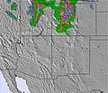 | 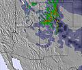 | ||||||||||
— | — | — | — | — | — | — | — | — | — | — | — | — | — | — | — | |
mm | — | — | — | — | — | — | — | — | — | — | — | — | — | — | — | — |
max °C | 15 | 23 | 23 | 14 | 22 | 24 | 13 | 20 | 22 | 12 | 21 | 23 | 13 | 24 | 25 | 15 |
min °C | 12 | 21 | 23 | 7 | 16 | 23 | 8 | 16 | 21 | 8 | 18 | 23 | 10 | 20 | 24 | 12 |
chill °C | 12 | 21 | 23 | 6 | 16 | 23 | 8 | 16 | 21 | 8 | 18 | 23 | 10 | 20 | 24 | 12 |
Humid % | 26 | 21 | 22 | 56 | 36 | 15 | 75 | 15 | 8 | 16 | 11 | 9 | 19 | 14 | 9 | 23 |
Freeze m | 5300 | 5550 | 5650 | 4900 | 5250 | 5500 | 4700 | 5200 | 5500 | 4850 | 5300 | 5500 | 5000 | 5350 | 5600 | 5050 |
— | 6:05 | — | — | 6:05 | — | — | 6:07 | — | — | 6:07 | — | — | 6:09 | — | — | |
— | — | 8:15 | — | — | 8:13 | — | — | 8:12 | — | — | 8:10 | — | — | 8:09 | — | |
Go pro and carve into:
Avalanche information: Colorado Avalanche Information Center
Latest snow reports near Breckenridge:
| Top snow depth: | 0 cm |
|---|---|
| Bottom snow depth: | 0 cm |
| Fresh snowfall depth: | — |
| Last snowfall: | 26 May 2026 |
| Snow Alerts | Create Alert |
0.0 | Bluebird Powder days Fresh snow, mostly sunny, light wind. |
|---|---|
0.0 | Powder days Fresh snow, limited sun, any wind. |
0.0 | Bluebird days Average snow, mostly sunny, light wind. |
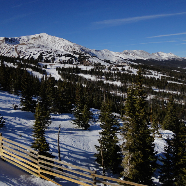
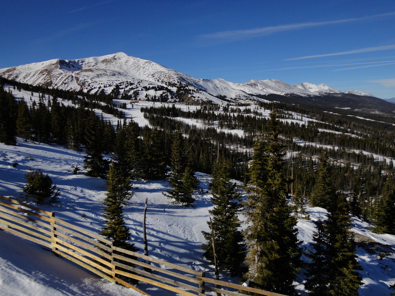
The above table gives the weather forecast for Breckenridge at the specific elevation of 2925 m. Our sophisticated weather models allow us to provide snow forecasts for the top, middle and bottom ski stations of Breckenridge. To access the weather forecasts for the other elevations, use the tab navigation above the table. For a wider view of the weather, check out the Weather Map of United States.
Click here to read further information on freezing levels and how we forecast our temperatures.
Overall 4.3 Based on 21 votes and 9 reviews
Breckenridge is a great mountain and wonderful if you have kids. The terrain parks are great and the adventure forests are heaps of fun. Unfortunately, snow was ordinary and lots of rocks and trees around. Second year running that we hit poor snow conditions in the USA (went to Heavenly last January). Still the runs are great and lots of variety. Beware of the altitude..it really does hit you for six and it's quite scary not getting enough oxygen. The altitude will probably mean other Colorado resorts in the future. Don't forget to check out the Silverthorne outlets as they are great. Foodwise all was great..went to Lucha, Breck Brewery (go for the 3-6 happy hour) and Quandary Grill (2 for 1 burgers on Tues that are awesome).
Megan Saville from Australia writes:
Breckenridge is a great mountain and wonderful if you have kids. The terrain parks are great and the adventure forests are heaps of fun. Unfortunately, snow was ordinary and lots of rocks and trees around. Second year running that we hit poor snow conditions in the USA (went to Heavenly last January). Still the runs are great and lots of variety. Beware of the altitude..it really does hit you for six and it's quite scary not getting enough oxygen. The altitude will probably mean other Colorado resorts in the future. Don't forget to check out the Silverthorne outlets as they are great. Foodwise all was great..went to Lucha, Breck Brewery (go for the 3-6 happy hour) and Quandary Grill (2 for 1 burgers on Tues that are awesome).


 Nearest