


Southern Hemisphere Weekly Snow Roundup #321
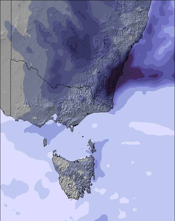
Weekly Snow News for the Southern Hemisphere, updated 2 July 2026: Australia finally gets fresh snowfall, New Zealand's season builds a little momentum and more ski areas in the Andes open but with very limited terrain skiable here too so far.


 Nearest