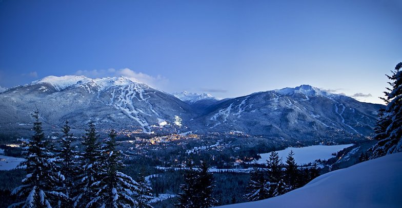
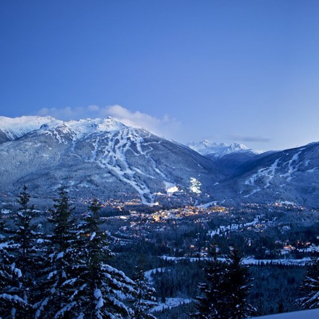
Light rain reported from Whistler Airport at 325 metres elevation one km N of Whistler Blackcomb but it is forecast cold enough for snow at higher elevations in the ski area from Whistler Blackcomb
0km away from Whistler Blackcomb
19 hours ago
Shower light rain shower reported from Whistler Airport at 325 metres elevation one km N of Whistler Blackcomb but it is forecast cold enough for snow at higher elevations in the ski area from Whistler Blackcomb
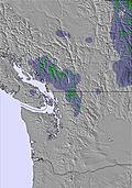
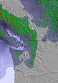
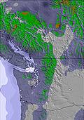
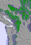
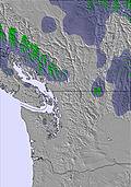
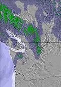
The above table gives the weather forecast for Whistler Blackcomb at the specific elevation of 2284 m. Our sophisticated weather models allow us to provide snow forecasts for the top, middle and bottom ski stations of Whistler Blackcomb. To access the weather forecasts for the other elevations, use the tab navigation above the table. For a wider view of the weather, check out the Weather Map of Canada.
Click here to read further information on freezing levels and how we forecast our temperatures.
I have a season's pass to Whistler and I have a love/hate relationship with the mountain. Lately, the lift lines are out of control and you wait 5 hours to ski 3 runs. It's not worth going on a Fri/Sat/Sun. Any powder gets skiied out within 1-2 hours.
You need to have the flexibility to go mid-week or don't even bother. They clearly need to limit the number of daypasses sold because the mountain is a complete gong show and not worth the time, energy or money to get there unless you can ski Tue-Thurs (although, even those days are very busy with good conditions). Fri-Mon are unbearable.
Free Snow-Forecast.com weather widget for your website
Embed the Whistler Blackcomb weather widget on your site for free. It provides a weekly snapshot of snow and rain conditions across all elevations. Follow the two quick steps to grab your custom code and paste it into your site. Choose between metric or imperial units. Click here to get the code.


 Nearest