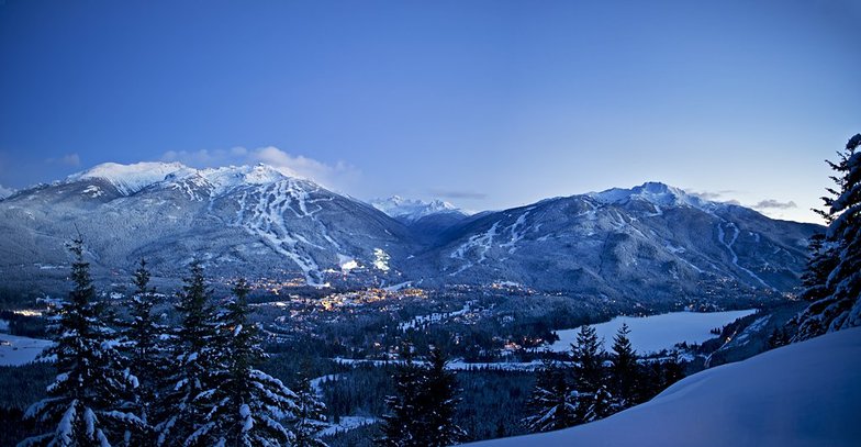
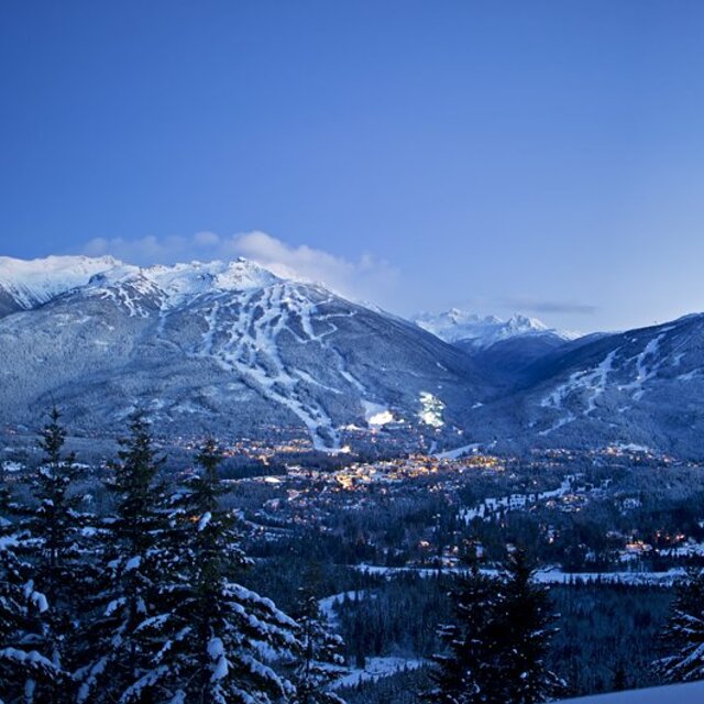
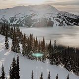
Weather Forecast for Whistler Blackcomb at675m altitude
Issued: 10 pm 15 May 2026 (local time)
Forecast update in hr min
View forecast
Whistler Blackcombat 675 m altitude
Issued by Snow-Forecast.com at:10 pm (local time) / 15 May 2026
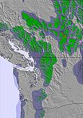
Last 6 daysScroll left for last 6 daysNow
Next 4 days weather summary:
Moderate rain (total 12.0mm), heaviest on Fri night. Freeze-thaw conditions (max 14°C on Sun afternoon, min 0°C on Fri night). Wind will be generally light.
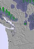
Days 5-7 weather summary:
Moderate rain (total 11.0mm), heaviest on Mon night. Very mild (max 14°C on Wed afternoon, min 7°C on Tue night). Wind will be generally light.
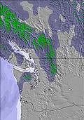
Light rain reported from Whistler Airport at 325 metres elevation one km N of Whistler Blackcomb but it is forecast cold enough for snow at higher elevations in the ski area from Whistler Blackcomb
0km away from Whistler Blackcomb
19 hours ago
Shower light rain shower reported from Whistler Airport at 325 metres elevation one km N of Whistler Blackcomb but it is forecast cold enough for snow at higher elevations in the ski area from Whistler Blackcomb
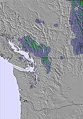
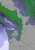
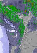
The above table gives the weather forecast for Whistler Blackcomb at the specific elevation of 675 m. Our sophisticated weather models allow us to provide snow forecasts for the top, middle and bottom ski stations of Whistler Blackcomb. To access the weather forecasts for the other elevations, use the tab navigation above the table. For a wider view of the weather, check out the Weather Map of Canada.
Click here to read further information on freezing levels and how we forecast our temperatures.
The mountain is always great and stunning. However, this is our 4th and final visit ever because of the clear cost savings on grooming runs, opening runs especially for the beginners is at best terrible on this 2025 Christmas visit. Together with no staff on the over crowded lift line S…Show! Will definitely be spreading the word back in Australia for people not to pay overs for the worst maintained Canadian ski resort! Its like Thredbo on steroids meaning nothing being spent on guest services. A complete S….. show do not waste your money coming here, a real shame as it was a great place!
The mountain is always great and stunning. However, this is our 4th and final visit ever because of the clear cost savings on grooming runs, opening runs especially for the beginners is at best terrible on this 2025 Christmas visit. Together with no staff on the over crowded lift line S…Show! Will definitely be spreading the word back in Australia for people not to pay overs for the worst maintained Canadian ski resort! Its like Thredbo on steroids meaning nothing being spent on guest services. A complete S….. show do not waste your money coming here, a real shame as it was a great place!
Free Snow-Forecast.com weather widget for your website
Embed the Whistler Blackcomb weather widget on your site for free. It provides a weekly snapshot of snow and rain conditions across all elevations. Follow the two quick steps to grab your custom code and paste it into your site. Choose between metric or imperial units. Click here to get the code.


 Nearest