

Global Weekly Snow Roundup #314
Weekly Global Snow News, updated 14 May 2026: Fresh snowfall in Argentina, Australia and Lesotho signals winter’s approach, while Japan maintains the world’s deepest snowpack.

Next 3 days weather summary:Moderate rain (total 10.0mm) heaviest on Mon afternoon, then becoming colder with a dusting of snow on Mon night. Freeze-thaw conditions (max 5°C on Sun afternoon, min -5°C on Sat morning). Wind will be generally light. | Days 4-6 weather summary:Light rain (total 2.0mm), mostly falling on Tue afternoon. Very mild (max 13°C on Thu afternoon, min 2°C on Tue morning). Wind will be generally light. | |||||||||||||||||
Saturday 16 | Sunday 17 | Monday 18 | Tuesday 19 | Wednesday 20 | Thursday 21 | |||||||||||||
AM | PM | night | AM | PM | night | AM | PM | night | AM | PM | night | AM | PM | night | AM | PM | night | |
snow shwrs | light snow | snow shwrs | some clouds | light rain | light snow | light rain | mod. rain | light snow | cloudy | light rain | cloudy | clear | some clouds | clear | clear | some clouds | clear | |
km/h | ||||||||||||||||||
Snow map |  |  |  |  |  |  | ||||||||||||
— | — | — | — | — | — | — | — | 1 | — | — | — | — | — | — | — | — | — | |
— | — | — | — | 1 | 2 | 1 | 6 | — | — | 2 | — | — | — | — | — | — | — | |
max °C | -4 | -1 | -2 | 2 | 5 | 2 | 2 | 2 | 2 | 3 | 4 | 4 | 8 | 10 | 9 | 11 | 13 | 11 |
min °C | -5 | -2 | -3 | 0 | 4 | 0 | 1 | 2 | 1 | 2 | 4 | 3 | 5 | 9 | 6 | 8 | 13 | 9 |
-11 | -6 | -6 | -2 | 3 | 0 | 1 | 0 | -1 | 2 | 2 | 0 | 3 | 7 | 5 | 7 | 12 | 9 | |
77 | 80 | 68 | 57 | 81 | 92 | 80 | 85 | 94 | 80 | 91 | 76 | 56 | 63 | 66 | 30 | 41 | 43 | |
1650 | 2000 | 1550 | 2450 | 2600 | 2250 | 2400 | 2450 | 2250 | 2600 | 2800 | 3100 | 3150 | 3350 | 3700 | 3750 | 3850 | 4100 | |
6:03 | — | — | 6:01 | — | — | 6:01 | — | — | 6:00 | — | — | 5:58 | — | — | 5:58 | — | — | |
— | — | 8:55 | — | — | 8:57 | — | — | 8:58 | — | — | 9:00 | — | — | 9:00 | — | — | 9:01 | |
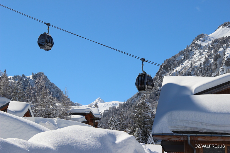
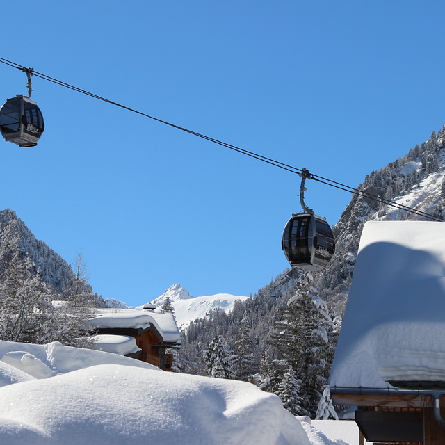
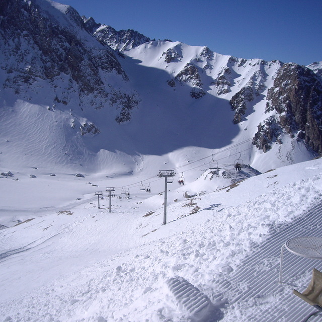
Latest snow reports near Valfrejus:
| Top snow depth: | — |
|---|---|
| Bottom snow depth: | — |
| Fresh snowfall depth: | 7 cm |
| Last snowfall: | 15 May 2026 |
| Snow Alerts | Create Alert |
0.1 | Bluebird Powder days Fresh snow, mostly sunny, light wind. |
|---|---|
0.3 | Powder days Fresh snow, limited sun, any wind. |
0.1 | Bluebird days Average snow, mostly sunny, light wind. |

The above table gives the weather forecast for Valfrejus at the specific elevation of 2144 m. Our sophisticated weather models allow us to provide snow forecasts for the top, middle and bottom ski stations of Valfrejus. To access the weather forecasts for the other elevations, use the tab navigation above the table. For a wider view of the weather, check out the Weather Map of France.
Click here to read further information on freezing levels and how we forecast our temperatures.
Overall 3.5 Based on 59 votes and 49 reviews
So many changes in Valfrejus and it's attitudes! Have been visiting this resort for a few years and, like many others, had issues with snow making, keeping lifts open, etc. Change of management at the top seems to have shaken everything up; money spent on more snow making and no rubbish excuses about water levels/pump filters etc. Would still like to see more of the top runs open but this year has been exceptional in terms of weather, making it difficult to keep up with making everything safe. Keep on improving, Valfrejus
Christine from United Kingdom writes:
So many changes in Valfrejus and it's attitudes!
Have been visiting this resort for a few years and, like many others, had issues with snow making, keeping lifts open, etc.
Change of management at the top seems to have shaken everything up; money spent on more snow making and no rubbish excuses about water levels/pump filters etc.
Would still like to see more of the top runs open but this year has been exceptional in terms of weather, making it difficult to keep up with making everything safe.
Keep on improving, Valfrejus


 Nearest