

Global Weekly Snow Roundup #314
Weekly Global Snow News, updated 14 May 2026: Fresh snowfall in Argentina, Australia and Lesotho signals winter’s approach, while Japan maintains the world’s deepest snowpack.

Next 3 days weather summary:Light rain (total 8.0mm), mostly falling on Sat night. Very mild (max 18°C on Mon night, min 5°C on Sun morning). Winds decreasing (strong winds from the W on Sat night, light winds from the W by Sun night). | Days 4-6 weather summary:Heavy rain (total 25.0mm), heaviest during Tue night. Freeze-thaw conditions (max 20°C on Tue afternoon, min -1°C on Wed night). Winds decreasing (strong winds from the WSW on Tue night, light winds from the N by Thu night). | |||||||||||||||||
Saturday 16 | Sunday 17 | Monday 18 | Tuesday 19 | Wednesday 20 | Thursday 21 | |||||||||||||
AM | PM | night | AM | PM | night | AM | PM | night | AM | PM | night | AM | PM | night | AM | PM | night | |
some clouds | cloudy | rain shwrs | some clouds | clear | some clouds | cloudy | some clouds | rain shwrs | light rain | risk thun- der | rain shwrs | light rain | light rain | rain shwrs | clear | clear | clear | |
km/h | ||||||||||||||||||
Snow map |  |  |  |  |  |  | ||||||||||||
— | — | — | — | — | — | — | — | — | — | — | — | — | — | — | — | — | — | |
— | — | 6 | — | — | — | — | — | 2 | 3 | 1 | 15 | 2 | 3 | 1 | — | — | — | |
max °C | 12 | 12 | 10 | 6 | 9 | 8 | 10 | 17 | 18 | 18 | 20 | 19 | 14 | 12 | 4 | 2 | 6 | 5 |
min °C | 9 | 12 | 7 | 5 | 6 | 7 | 9 | 13 | 16 | 15 | 19 | 15 | 14 | 9 | -1 | 1 | 5 | 1 |
5 | 9 | 2 | 1 | 2 | 5 | 7 | 11 | 14 | 13 | 18 | 13 | 12 | 5 | -7 | -5 | 2 | -2 | |
62 | 81 | 64 | 85 | 64 | 51 | 66 | 79 | 84 | 73 | 86 | 91 | 99 | 94 | 87 | 64 | 38 | 57 | |
3150 | 2750 | 2500 | 1450 | 2950 | 3500 | 3750 | 4300 | 4050 | 4150 | 4150 | 4150 | 3750 | 3600 | 850 | 1050 | 1500 | 1250 | |
5:24 | — | — | 5:22 | — | — | 5:22 | — | — | 5:20 | — | — | 5:20 | — | — | 5:18 | — | — | |
— | — | 8:24 | — | — | 8:25 | — | — | 8:27 | — | — | 8:28 | — | — | 8:29 | — | — | 8:30 | |
Latest snow reports near Mont Tremblant:
| Top snow depth: | 0 cm |
|---|---|
| Bottom snow depth: | 0 cm |
| Fresh snowfall depth: | — |
| Last snowfall: | 19 Apr 2026 |
| Snow Alerts | Create Alert |
0.0 | Bluebird Powder days Fresh snow, mostly sunny, light wind. |
|---|---|
0.0 | Powder days Fresh snow, limited sun, any wind. |
0.0 | Bluebird days Average snow, mostly sunny, light wind. |
The above table gives the weather forecast for Mont Tremblant at the specific elevation of 875 m. Our sophisticated weather models allow us to provide snow forecasts for the top, middle and bottom ski stations of Mont Tremblant. To access the weather forecasts for the other elevations, use the tab navigation above the table. For a wider view of the weather, check out the Weather Map of Canada.
Click here to read further information on freezing levels and how we forecast our temperatures.
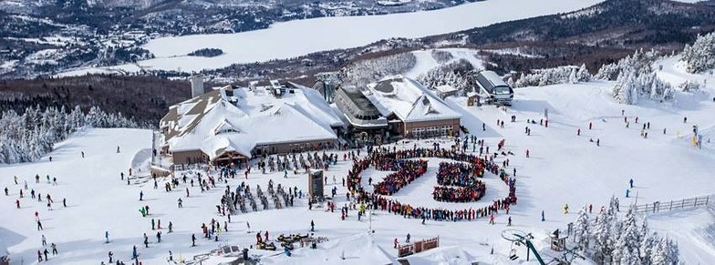
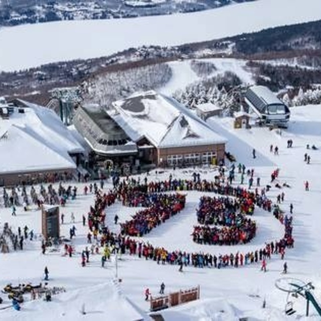
Resort name is also written as Tremblant.
Overall 3.8 Based on 28 votes and 12 reviews
In the past 25 years noticed it is getting more snow. Back in the mid 90s to early 2000s was very icy, cold and lacking any significant snowfall. It might be anecdotal evidence but the snow quality is improving with warming temps. Good family resort for introduction into skiing/boarding. On snow days lots of runs to explore especially mid-week providing the best riding experience. A good mix of beginner runs for the kids, plus some nice fast cruisers for the parents. Downsides are the weekends, especially Saturday when the lines are ridiculously long and best avoided. If we stay, I almost always skip riding Saturday and hit the hill Friday and Sunday to avoid the crowds. The chair systems need an update. The North side chair can be a brutal ride to the top. Edge chair is slow and old. Good amount of runs for the size of the mountain (hill) but with some glades and no off-piste riding. Best ridden on snow days where the wide open runs are fun and enjoyable. In dry spells it still gets very icy due to heavy use. Steepest double black runs get tracked and iced up first so don't count on those being open. Not sure why anyone would fly here. The resort does not offer any breathtaking views or scenery to compare with Alps or Rockies or other resorts in the Appalachians. The village is a tad kitchy and nightlife is limited to two bars with either a young crowd or the underage crowd.
Geno from Canada writes:
In the past 25 years noticed it is getting more snow. Back in the mid 90s to early 2000s was very icy, cold and lacking any significant snowfall. It might be anecdotal evidence but the snow quality is improving with warming temps. Good family resort for introduction into skiing/boarding. On snow days lots of runs to explore especially mid-week providing the best riding experience. A good mix of beginner runs for the kids, plus some nice fast cruisers for the parents. Downsides are the weekends, especially Saturday when the lines are ridiculously long and best avoided. If we stay, I almost always skip riding Saturday and hit the hill Friday and Sunday to avoid the crowds. The chair systems need an update. The North side chair can be a brutal ride to the top. Edge chair is slow and old. Good amount of runs for the size of the mountain (hill) but with some glades and no off-piste riding. Best ridden on snow days where the wide open runs are fun and enjoyable. In dry spells it still gets very icy due to heavy use. Steepest double black runs get tracked and iced up first so don't count on those being open.
Not sure why anyone would fly here. The resort does not offer any breathtaking views or scenery to compare with Alps or Rockies or other resorts in the Appalachians. The village is a tad kitchy and nightlife is limited to two bars with either a young crowd or the underage crowd.


 Nearest