

Global Weekly Snow Roundup #314
Weekly Global Snow News, updated 14 May 2026: Fresh snowfall in Argentina, Australia and Lesotho signals winter’s approach, while Japan maintains the world’s deepest snowpack.

Next 3 days weather summary:Light rain (total 9.0mm), mostly falling on Sat night. Very mild (max 19°C on Mon night, min 8°C on Sun morning). Winds decreasing (fresh winds from the SW on Sat afternoon, calm by Sun night). | Days 4-6 weather summary:Heavy rain (total 26.0mm), heaviest during Tue night. Warm (max 22°C on Tue afternoon, min 1°C on Wed night). Winds decreasing (fresh winds from the WSW on Tue night, light winds from the N by Thu night). | |||||||||||||||||
Saturday 16 | Sunday 17 | Monday 18 | Tuesday 19 | Wednesday 20 | Thursday 21 | |||||||||||||
AM | PM | night | AM | PM | night | AM | PM | night | AM | PM | night | AM | PM | night | AM | PM | night | |
some clouds | cloudy | mod. rain | rain shwrs | clear | some clouds | cloudy | some clouds | rain shwrs | light rain | risk thun- der | rain shwrs | light rain | light rain | rain shwrs | clear | clear | clear | |
km/h | ||||||||||||||||||
Snow map |  |  |  |  |  |  | ||||||||||||
— | — | — | — | — | — | — | — | — | — | — | — | — | — | — | — | — | — | |
— | — | 6 | 1 | — | — | — | — | 2 | 4 | 1 | 15 | 2 | 3 | 1 | — | — | — | |
max °C | 14 | 15 | 12 | 8 | 12 | 10 | 11 | 18 | 19 | 20 | 22 | 21 | 16 | 14 | 7 | 5 | 9 | 7 |
min °C | 10 | 15 | 9 | 8 | 9 | 8 | 10 | 14 | 17 | 17 | 22 | 16 | 16 | 11 | 1 | 2 | 8 | 2 |
7 | 13 | 6 | 4 | 7 | 7 | 10 | 13 | 16 | 16 | 22 | 15 | 15 | 8 | -4 | -3 | 5 | 0 | |
61 | 75 | 77 | 77 | 56 | 57 | 62 | 75 | 90 | 74 | 82 | 93 | 98 | 93 | 81 | 55 | 34 | 57 | |
3150 | 2750 | 2500 | 1450 | 2950 | 3500 | 3750 | 4300 | 4050 | 4150 | 4150 | 4150 | 3750 | 3600 | 850 | 1050 | 1500 | 1250 | |
5:24 | — | — | 5:22 | — | — | 5:22 | — | — | 5:20 | — | — | 5:20 | — | — | 5:18 | — | — | |
— | — | 8:24 | — | — | 8:25 | — | — | 8:27 | — | — | 8:28 | — | — | 8:29 | — | — | 8:30 | |
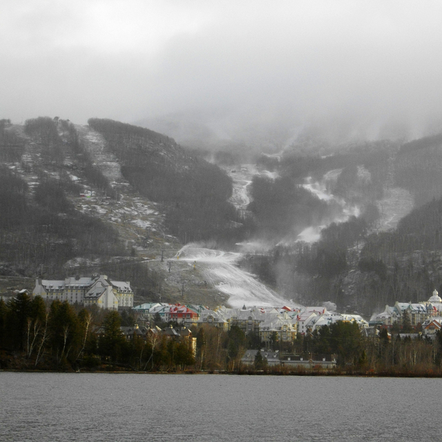
Latest snow reports near Mont Tremblant:
| Top snow depth: | 0 cm |
|---|---|
| Bottom snow depth: | 0 cm |
| Fresh snowfall depth: | — |
| Last snowfall: | 19 Apr 2026 |
| Snow Alerts | Create Alert |
0.0 | Bluebird Powder days Fresh snow, mostly sunny, light wind. |
|---|---|
0.0 | Powder days Fresh snow, limited sun, any wind. |
0.0 | Bluebird days Average snow, mostly sunny, light wind. |
The above table gives the weather forecast for Mont Tremblant at the specific elevation of 552 m. Our sophisticated weather models allow us to provide snow forecasts for the top, middle and bottom ski stations of Mont Tremblant. To access the weather forecasts for the other elevations, use the tab navigation above the table. For a wider view of the weather, check out the Weather Map of Canada.
Click here to read further information on freezing levels and how we forecast our temperatures.
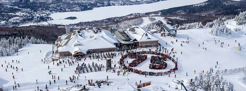
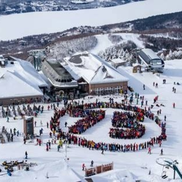
Resort name is also written as Tremblant.
Overall 3.8 Based on 28 votes and 12 reviews
Encien hôtel sur le versant nord devrait être détruite ça brise la magie de Tremblant ….c’est l ‘abandon! Il devrait avoir des lecteurs de cartes magnétiques, c’est dépassé…
Joan Langlais from Canada writes:
Encien hôtel sur le versant nord devrait être détruite ça brise la magie de Tremblant ….c’est l ‘abandon!
Il devrait avoir des lecteurs de cartes magnétiques, c’est dépassé…


 Nearest