

Visiting Besse Super Besse
Helpful resort information to assist planning your trip.
- Opens19 Dec 2026
- Closes29 Mar 2027
- Accommodation—
- Restaurants | Bars— | —
- Nearest Airport Clermont Ferrand
- Nearest Train Station Clermont Ferrand
- Tourist Office Website
- Tourist Office Phone—
- Avalanche information:
Besse Super Besse Features
The terrain at Besse Super Besse includes:
- Halfpipes—
- Terrain Parks1
- X-Country—
- Ski Hire
What's it like at Besse Super Besse resort?
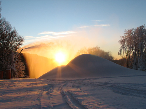
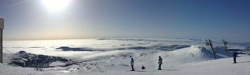
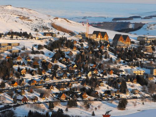
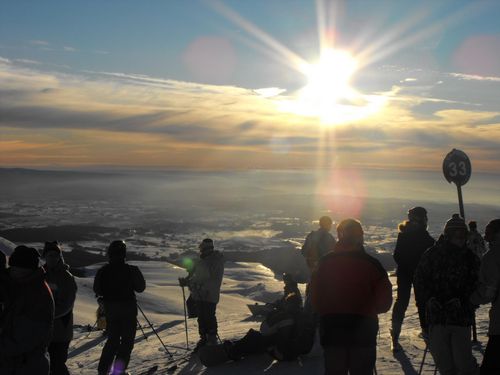
Besse Super Besse is a modern ski resort (some ugly high-rise), 7km above the village of Besse et Saint-Anastaise on the south side of Puy de Sancy. Extensive skiing at Besse Super Besse is linked with Le Mont Dore, giving a combined ski area of 85km via the lifts at Ferrand. If the link is closed, there are 45km of sunny-side skiing at Besse Super Besse. 8 trails are illuminated for night skiing from 17h30 to 21h00 every day during school holidays and Saturdays outside of the school holidays.
Explore Besse Super Besse Location Map
Interactive Besse Super Besse trail map and piste map. View the piste and trails as well as the surrounding terrain and mountain contours for backcountry action. Find and compare nearby resorts by clicking on the resort markers.

When's the snowiest month to visit Besse Super Besse?

Visitor Reviews of Besse Super Besse
Antoine from France writes:
The best ski resort at less than 4 hours from Paris (much better than the Vosges or the Jura).
Tracks are quite easy but steep enough to get some real good fun. The new speed lifts allow you to warm your thighs by getting on the top in 5 min!
The connection to Mont Dore, when the weather is nice, allows you to try one of the best places for extreme free-ride skiing in Europe.
Resorts close to Besse Super Besse
Discover ski resorts near Besse Super Besse. Click below to view there ski resort guides.
 Chastreix-SancyLast snow: 1.0 cm Sat 16 May
 Lifts: 7
 Pistes: —11 km away
- Le Mont-DoreLast snow: 1.0 cm Sat 16 MayLifts: 21Pistes: 3311 km away
- Le LioranLast snow: 2.0 cm Sat 16 MayLifts: 22Pistes: 4049 km away
- ChalmazelLast snow: 1.0 cm Sat 16 MayLifts: 9Pistes: 1077 km away
- PrabouréLast snow: 4.0 cm Fri 15 MayLifts: 3Pistes: 1177 km away
 Nearest