


Global Weekly Snow Roundup #314
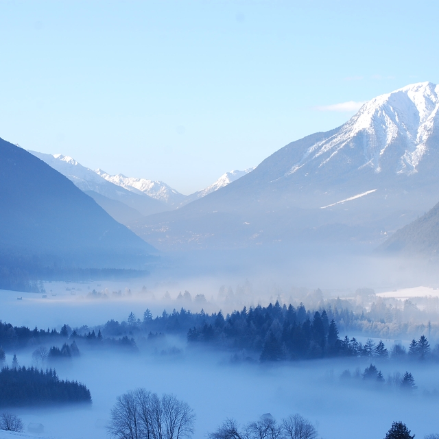
Weekly Global Snow News, updated 14 May 2026: Fresh snowfall in Argentina, Australia and Lesotho signals winter’s approach, while Japan maintains the world’s deepest snowpack.

Next 3 days weather summary:Heavy rain (total 22.0mm), heaviest during Fri night. Later becoming colder with a dusting of snow on Fri night. Freeze-thaw conditions (max 11°C on Mon morning, min -2°C on Sat night). Wind will be generally light. | Days 4-6 weather summary:Heavy rain (total 41.0mm), heaviest during Mon night. Very mild (max 13°C on Mon afternoon, min 4°C on Mon night). Wind will be generally light. | ||||||||||||||||
Fri 15 | Saturday 16 | Sunday 17 | Monday 18 | Tuesday 19 | Wednesday 20 | ||||||||||||
PM | night | AM | PM | night | AM | PM | night | AM | PM | night | AM | PM | night | AM | PM | night | |
mod. rain | light snow | light snow | light rain | rain shwrs | clear | rain shwrs | rain shwrs | rain shwrs | risk thun- der | heavy rain | cloudy | light rain | mod. rain | light rain | rain shwrs | rain shwrs | |
km/h | |||||||||||||||||
Snow map |  |  |  |  |  |  | |||||||||||
— | 3 | 1 | — | — | — | — | — | — | — | — | — | — | — | — | — | — | |
6 | 6 | 3 | 3 | 1 | — | 1 | 1 | 1 | 4 | 16 | — | 2 | 8 | 5 | 3 | 3 | |
max °C | 4 | 2 | 2 | 5 | 3 | 7 | 10 | 7 | 11 | 13 | 7 | 8 | 11 | 8 | 8 | 11 | 9 |
min °C | 3 | 1 | 1 | 4 | -2 | 3 | 10 | 2 | 7 | 11 | 4 | 5 | 11 | 6 | 6 | 10 | 5 |
2 | 1 | 1 | 3 | -4 | 3 | 10 | 0 | 7 | 11 | 4 | 5 | 11 | 6 | 6 | 10 | 5 | |
99 | 100 | 97 | 89 | 88 | 67 | 61 | 79 | 60 | 69 | 97 | 75 | 61 | 94 | 89 | 78 | 90 | |
1700 | 1450 | 1500 | 1800 | 1450 | 2150 | 2450 | 2150 | 2500 | 2700 | 2000 | 2350 | 2550 | 2400 | 2450 | 2700 | 2500 | |
— | — | 5:37 | — | — | 5:37 | — | — | 5:35 | — | — | 5:33 | — | — | 5:33 | — | — | |
— | 8:44 | — | — | 8:45 | — | — | 8:45 | — | — | 8:46 | — | — | 8:49 | — | — | 8:50 | |
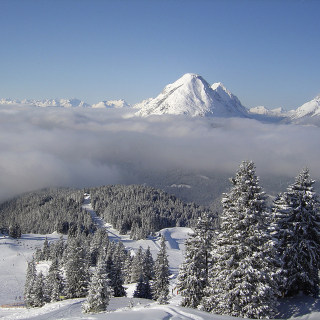
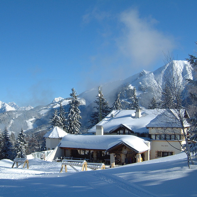
Latest snow reports near Seefeld:
| Top snow depth: | — |
|---|---|
| Bottom snow depth: | — |
| Fresh snowfall depth: | 15 cm |
| Last snowfall: | 14 May 2026 |
| Snow Alerts | Create Alert |
0.0 | Bluebird Powder days Fresh snow, mostly sunny, light wind. |
|---|---|
0.0 | Powder days Fresh snow, limited sun, any wind. |
0.0 | Bluebird days Average snow, mostly sunny, light wind. |
The above table gives the weather forecast for Seefeld at the specific elevation of 1200 m. Our sophisticated weather models allow us to provide snow forecasts for the top, middle and bottom ski stations of Seefeld. To access the weather forecasts for the other elevations, use the tab navigation above the table. For a wider view of the weather, check out the Weather Map of Austria.
Click here to read further information on freezing levels and how we forecast our temperatures.
Overall 4.1 Based on 27 votes and 25 reviews
Just returned from a short ski trip (2.5 days) and used Seefeld as our base. The town itself is lovely but the pisted ski area is somewhat limited for intermediate skiers (we skied virtually the whole Roshutte area in 3hrs!). However, if you rent a car like we did and travel to some of the other nearby ski areas (can recommend Kuhtai) then I'd say Seefeld is a good location for a base over a long weekend (at most) for intermediate skiers. Somebody has written that it's also a good location for apres-ski. We found a couple of very nice quiet bars in the centre but could find no real apres-ski as we know it (especially if you're looking for St Anton or Ischgl style entertainment!).
DaveH from United Kingdom writes:
Just returned from a short ski trip (2.5 days) and used Seefeld as our base.
The town itself is lovely but the pisted ski area is somewhat limited for intermediate skiers (we skied virtually the whole Roshutte area in 3hrs!). However, if you rent a car like we did and travel to some of the other nearby ski areas (can recommend Kuhtai) then I'd say Seefeld is a good location for a base over a long weekend (at most) for intermediate skiers.
Somebody has written that it's also a good location for apres-ski. We found a couple of very nice quiet bars in the centre but could find no real apres-ski as we know it (especially if you're looking for St Anton or Ischgl style entertainment!).


 Nearest