

Global Weekly Snow Roundup #314
Weekly Global Snow News, updated 14 May 2026: Fresh snowfall in Argentina, Australia and Lesotho signals winter’s approach, while Japan maintains the world’s deepest snowpack.

Next 3 days weather summary:A dusting of snow. Milder later with heavy rain (total 25.0mm) on Mon night. Very mild (max 11°C on Mon afternoon, min 1°C on Sat morning). Wind will be generally light. | Days 4-6 weather summary:Heavy rain (total 26.0mm), heaviest during Wed night. Very mild (max 12°C on Thu afternoon, min 5°C on Tue morning). Wind will be generally light. | |||||||||||||||||
Saturday 16 | Sunday 17 | Monday 18 | Tuesday 19 | Wednesday 20 | Thursday 21 | |||||||||||||
AM | PM | night | AM | PM | night | AM | PM | night | AM | PM | night | AM | PM | night | AM | PM | night | |
light snow | light snow | light snow | cloudy | rain shwrs | clear | rain shwrs | risk thun- der | heavy rain | light rain | light rain | light rain | light rain | light rain | light rain | light rain | rain shwrs | rain shwrs | |
km/h | ||||||||||||||||||
Snow map |  |  |  |  |  |  | ||||||||||||
2 | — | — | — | — | — | — | — | — | — | — | — | — | — | — | — | — | — | |
— | 1 | 1 | — | 1 | — | 1 | 5 | 16 | 1 | 2 | 5 | 3 | 3 | 5 | 3 | 2 | 2 | |
max °C | 1 | 3 | 2 | 4 | 7 | 6 | 9 | 11 | 8 | 8 | 10 | 9 | 7 | 8 | 8 | 7 | 12 | 10 |
min °C | 1 | 2 | 1 | 1 | 5 | 3 | 6 | 10 | 4 | 5 | 10 | 7 | 7 | 8 | 7 | 7 | 8 | 8 |
-2 | -1 | 0 | 1 | 5 | 1 | 5 | 10 | 4 | 5 | 10 | 6 | 7 | 7 | 6 | 6 | 8 | 8 | |
99 | 96 | 99 | 84 | 70 | 79 | 65 | 67 | 99 | 78 | 73 | 98 | 93 | 94 | 92 | 93 | 68 | 91 | |
1400 | 1650 | 1450 | 1950 | 2200 | 2000 | 2450 | 2600 | 2250 | 2450 | 2700 | 2500 | 2450 | 2550 | 2450 | 2500 | 2850 | 2700 | |
5:28 | — | — | 5:26 | — | — | 5:26 | — | — | 5:24 | — | — | 5:24 | — | — | 5:22 | — | — | |
— | — | 8:36 | — | — | 8:37 | — | — | 8:38 | — | — | 8:39 | — | — | 8:40 | — | — | 8:42 | |
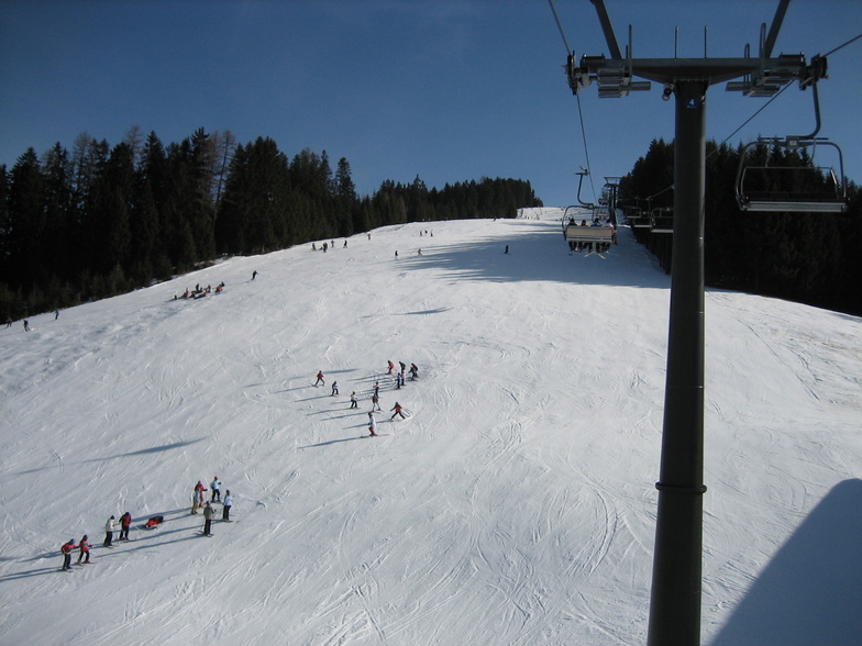
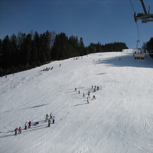
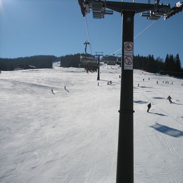
Latest snow reports near Radstadt/Altenmarkt:
| Top snow depth: | — |
|---|---|
| Bottom snow depth: | — |
| Fresh snowfall depth: | 21 cm |
| Last snowfall: | 15 May 2026 |
| Snow Alerts | Create Alert |
0.0 | Bluebird Powder days Fresh snow, mostly sunny, light wind. |
|---|---|
0.0 | Powder days Fresh snow, limited sun, any wind. |
0.0 | Bluebird days Average snow, mostly sunny, light wind. |
The above table gives the weather forecast for Radstadt/Altenmarkt at the specific elevation of 1278 m. Our sophisticated weather models allow us to provide snow forecasts for the top, middle and bottom ski stations of Radstadt/Altenmarkt. To access the weather forecasts for the other elevations, use the tab navigation above the table. For a wider view of the weather, check out the Weather Map of Austria.
Click here to read further information on freezing levels and how we forecast our temperatures.
Overall 4.2 Based on 14 votes and 2 reviews
Pequeña estacion que dispone de dos telecabinas y dos telesillas, con algunos telesquis, estos para uso de escuelas, que con 17 klm de pistas parece que tienen alguno mas. Ideal para dias con malas condiciones por poca visibilidad o nevadas, ya que las pistas van por entre los pinos. Hay variedad de recorridos y se hace muy gratificante el esqui en estas estaciones.
Juan from Spain writes:
Pequeña estacion que dispone de dos telecabinas y dos telesillas, con algunos telesquis, estos para uso de escuelas, que con 17 klm de pistas parece que tienen alguno mas.
Ideal para dias con malas condiciones por poca visibilidad o nevadas, ya que las pistas van por entre los pinos.
Hay variedad de recorridos y se hace muy gratificante el esqui en estas estaciones.
Read 1 more reviews of Radstadt/Altenmarkt or submit your own


 Nearest